Download
1 / 15
150 likes | 297 Views
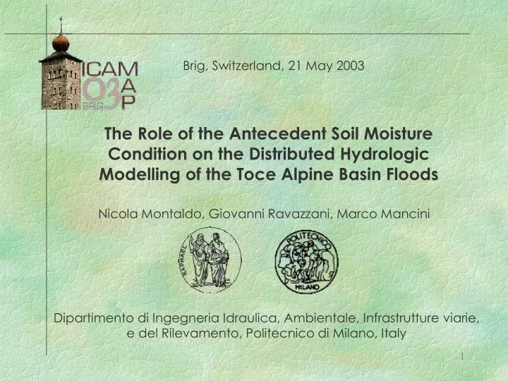
Brig, Switzerland, 21 May 2003. The Role of the Antecedent Soil Moisture Condition on the Distributed Hydrologic Modelling of the Toce Alpine Basin Floods. Nicola Montaldo, Giovanni Ravazzani, Marco Mancini.

E N D
Brig, Switzerland, 21 May 2003 The Role of the Antecedent Soil Moisture Condition on the Distributed Hydrologic Modelling of the Toce Alpine Basin Floods Nicola Montaldo, Giovanni Ravazzani, Marco Mancini Dipartimento di Ingegneria Idraulica, Ambientale, Infrastrutture viarie, e del Rilevamento, Politecnico di Milano, Italy
ICAM/MAP 2003 Objectives of this study The role of soil moisture initial conditions in Toce flood simulation. Is it important in an Alpine basin? Can be improved the flood modeling using a continuous model instead of an event model? Define an adequate complexity level of the LSM for the modeling of Alpine basin floods. Actions • Comparison of three distributed hydrologic models for the Toce flood simulations: • FEST02. Event based model • TDHM. Topographically based distributed land surface continuous model (two soil layers) • SDHM. Simplified distributed land surface continuous model(one soil layers)
ICAM/MAP 2003 Toce watershed at Candoglia section The case study Total drainage area: 1534 km2 Alpine glacial basin Steep hillslopes (about 90-95% of the total area) Mostly covered by trees on thin soil layers rested bedrock The overland flow should be mainly Hortonian Average elevation: 1641 m Maximum elevation: 4558 m
ICAM/MAP 2003 The available data. Data collected during the EC RAPHAEL project Litology Leaf Area Index Saturated Conductivity
ICAM/MAP 2003 Rainfall (monthly aggregation) The available dataData collected during the EC RAPHAEL project Atmospheric forcings (monthly averaged) The period: 1996-1997
ICAM/MAP 2003 DEM Atmospheric forcings The distributed hydrological model structure Hillslopes – river network partition Spatial interpolation Soil and vegetation parameter Snow Model Land Use Surface Runoff model Flood routing: Muskingum-Cunge Baseflow
ICAM/MAP 2003 The TDHM modelTopographically based distributed land surface continuous model (two soil layers) Water Table Topographic Index Watershed Base Flow Famiglietti & Wood, 1994
Base Flow: lumped model (linear reservoir) ICAM/MAP 2003 The SDHM model Simplified Distributed Hydrologic continuous Model (single soil layer) Sdrainage Gs = watershed total drainage
ICAM/MAP 2003 The FEST-02(*) model Flash-flood Event-based Spatially-distributed rainfall-runoff Transformation SCS-CN Base Flow: lumped model (linear reservoir) Sinfiltration I= watershed total infiltration (*) Montaldo et al., Hydrol. Process., 2003
ICAM/MAP 2003 The continuous models calibration
ICAM/MAP 2003 Fluxes simulation ET Infiltration Soil moisture Drainage
Sim/Obs Qmax Sim/Obs Qmax Sim/Obs Qmax 0.84 1.28 0.86 RMSE Sim/Obs Vol Sim/Obs Vol Nash Eff Nash Eff Nash Eff Sim/Obs Vol RMSE RMSE 1.3 0.89 1 0.83 118 150 1.12 96 0.7 ICAM/MAP 2003 The flood simulations TDHM SDHM FEST-02
Sim/Obs Qmax Sim/Obs Qmax Sim/Obs Qmax 0.99 0.91 1 RMSE Sim/Obs Vol Sim/Obs Vol Nash Eff Nash Eff Nash Eff Sim/Obs Vol RMSE RMSE 0.99 0.91 0.9 0.81 101 28 1.14 69 0.98 ICAM/MAP 2003 TDHM The flood simulations SDHM FEST-02
ICAM/MAP 2003 Soil potential retention
ICAM/MAP 2003 Conclusions The proposed hydrologic continuous models (TDHM and SDHM) simulated quite well the total runoff at the basin outlet. The continuous water balance models can be used for flood simulations with better performance than the event based model FEST-02. (Note that the models need an extended spin-up period for soil moisture initial conditions). In Alpine basins (with steep slopes and thin soil layers) the simple hortonian continuous (one-layer) model simulate well the floods, and even better than the two-layers, topographically based model (more time consuming).