Download
1 / 14
161 likes | 382 Views
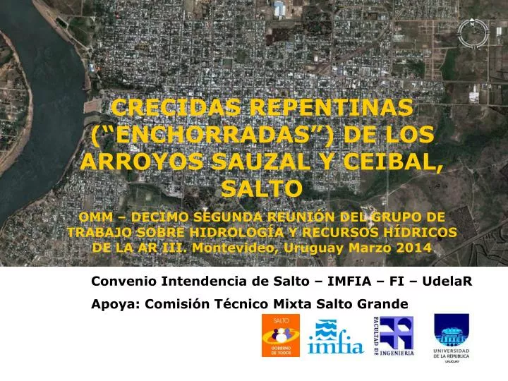
CRECIDAS REPENTINAS (“ENCHORRADAS”) DE LOS ARROYOS SAUZAL Y CEIBAL, SALTO OMM – DECIMO SEGUNDA REUNIÓN DEL GRUPO DE TRABAJO SOBRE HIDROLOGÍA Y RECURSOS HÍDRICOS DE LA AR III. Montevideo, Uruguay Marzo 2014. Convenio Intendencia de Salto – IMFIA – FI – UdelaR

E N D
CRECIDAS REPENTINAS (“ENCHORRADAS”) DE LOS ARROYOS SAUZAL Y CEIBAL, SALTO OMM – DECIMO SEGUNDA REUNIÓN DEL GRUPO DE TRABAJO SOBRE HIDROLOGÍA Y RECURSOS HÍDRICOS DE LA AR III. Montevideo, Uruguay Marzo 2014 Convenio Intendencia de Salto – IMFIA – FI – UdelaR Apoya: Comisión Técnico Mixta Salto Grande
INTRODUCCIÓN • Problema: Los arroyos Sauzal y Ceibal generan inundaciones localizadas, a partir de eventos de lluvia de diferente magnitud. • Convenio: Intendencia de Salto – UDELAR-FING-IMFIA, de fecha 18 de abril de 2008, para realizar el estudio de los arroyos Sauzal y Ceibal.
ARROYO SAUZAL A = 526 hás LCP = 5 km Pendiente = 1,12%
CAUCE PRINCIPAL Bajo Sauzal • Los últimos 900 metros mantienen la planicie de inundación o parte de la misma • Obstrucciones: 3 puentes (Costanera, calle Julio Delgado y 30 m AA donde cruza la Vía Férrea).
CAUCE PRINCIPALMedio Sauzal • A diferencia del anterior no tiene planicie de inundación • Al desbordar el cauce el agua se encuentra con las viviendas • Algunas construcciones son los taludes del cauce.
CAUCE PRINCIPALAlto Sauzal • Zona con menor ocupación de suelo. • Tramo de 800 m. de arroyo se encuentra entubado. • Presa de laminación aguas arriba.
MODELACIÓN HIDRODINÁMICA Calibración: Tormenta 25/01/1998.
MAPAS DE INUNDACIÓN SITUACIÓN ACTUALcota río Uruguay 4 m sobre Puerto de Salto
MAPAS DE INUNDACIÓN INFLUENCIA DEL RÍOcota río Uruguay 4, 10 y 12 m sobre Puerto de Salto.
ARROYO CEIBAL A = 3.076 hás LCP = 8,9 km Pend. = 0,6%