Download
1 / 20
200 likes | 337 Views
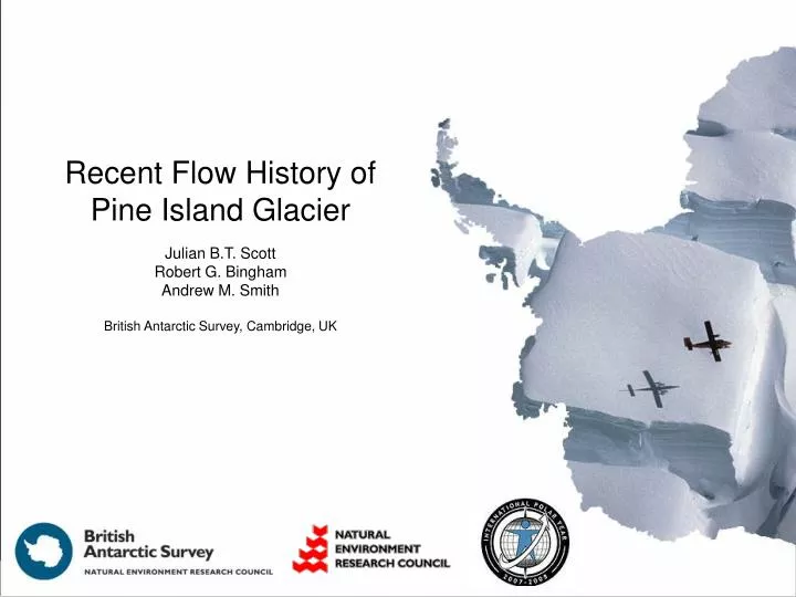
Recent Flow History of Pine Island Glacier Julian B.T. Scott Robert G. Bingham Andrew M. Smith British Antarctic Survey, Cambridge, UK. Outline. Pine Island Glacier Location; background; field campaigns 2006-07 & 2007-08 Ground Based Radar Surveys 2007-08 Preliminary modelling

E N D
Recent Flow History of Pine Island Glacier Julian B.T. Scott Robert G. Bingham Andrew M. Smith British Antarctic Survey, Cambridge, UK
Outline • Pine Island Glacier • Location; background; field campaigns 2006-07 & 2007-08 • Ground Based Radar Surveys 2007-08 • Preliminary modelling • Tentative Conclusions
Rothera Fossil Bluff Sky Blu Pine Island Glacier McMurdo Pine Island Glacier: location • Extremely remote • Flowing very quickly! 800 miles Velocities after Rignot (2006) over MOA (Haran et al., 2005)
Rothera Pine Island Glacier McMurdo Bed Topography Bed topography Surface velocities 50 km 50 km Vaughan et al. (2006) Rignot (2006)
Rothera Pine Island Glacier McMurdo PC209 • In situ measurements: • Dec 2006 – Feb 2007 (Smith, Scott) • Nov 2007 – Feb 2008 (Bingham, Scott) • GPS measurements presented at FRSP/WAIS 2008 • Passive Seismic Stations • Oversnow radar surveys • > 1200 km 1 MHz radar • 25, 100 & 500 MHz radar • Seismic Reflection • Shallow ice cores (not shown on map) PC171 PS169 PC111 GPS / pass. seis. EHT re-shoots Active seismics 1 MHz radar 25, 100, 500 MHz PC55 50 km
1 MHz GPR Along Central Flowline FLOW DIRECTION 2500 m 110 km
25 MHz GPR Along Central Flowline FLOW DIRECTION 500 m 110 km
500 MHz GPR Along Central Flowline FLOW DIRECTION 70 m 110 km
2008 1996 Speed (ma-1) FLOW DIRECTION
Layer Separation LOW HIGH FLOW DIRECTION
Modelling propagation from the surface • The speed along flow is equal to the surface speed. • Vertical speed at the surface depends on. • Speed along flow and surface gradient • Accumulation • Thinning • Vertical speed decreases rapidly with depth near the surface due to compaction . Then linearly to zero at the base.
1996 VELOCITY 0.15 m/a THINNING 40 a B.P. 150 a B.P. 250 a B.P. Layer Separation LOW HIGH FLOW DIRECTION
2008 VELOCITY 0.15 m/a THINNING 40 a B.P. 150 a B.P. 250 a B.P. Layer Separation LOW HIGH FLOW DIRECTION
1996 VELOCITY, 0.3 – 1 m/a 1991-2000 THINNING 40 a B.P. 150 a B.P. 250 a B.P. Layer Separation LOW HIGH FLOW DIRECTION
Rothera Pine Island Glacier McMurdo Tentative Conclusions • Over the last 250 years there has not been a substantial change in the flow of PIG • Recent changes may be extreme and the start of a major change in flow. • Fluctuations in thinning rate and flow speed may be common and short term, decadal. GPS / pass. seis. EHT re-shoots Active seismics 1 MHz radar 25, 100, 500 MHz
2008 VELOCITY, 0.3 – 1 m/a 1991-2000 THINNING 40 a B.P. 150 a B.P. 250 a B.P. Layer Separation LOW HIGH FLOW DIRECTION