Download
1 / 12
120 likes | 223 Views
Utilizing innovative techniques to increase rainstorm sizes and combat global warming by sequestering atmospheric carbon in arid regions. This method involves disrupting a marine boundary layer and triggering convective cycles to enhance moisture and fertility. Through the manipulation of air masses and water, this process leads to increased storm yields and efficient water extraction, resulting in biomass production and carbon removal. A financial model based on carbon credits incentivizes the operation, while ongoing research and development ensure efficiency and effectiveness in implementation.

E N D
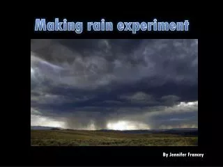
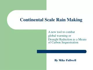
Continental Scale Rain Making A new tool to combat global warming or Drought Reduction as a Means of Carbon Sequestration By Mike Fallwell
Mission: • To sequester atmospheric carbon by bringing moisture and fertility to arid regions of the world • By triggering an avalanche in a natural nonlinear system
Dr. Steven Salter of the University of Edinburgh and others, have identified a marine boundary layer that prevents rapid evaporation of hot surface water, which covers a very large area of ocean. If this boundary layer is a bottleneck in the normal development of marine rain storms, it may be that it can be manipulated to increase the size of developing storms. Our goal is to break up this boundary layer by spraying water into the air approximately 60 feet using vessels with large pumps to add heat and moisture to air above the boundary layer in the path of a storm. This will initiate a convective cycle that will form a growing vortex trailing the boat. How:
Boundary Layer Disruption B L isolates surface air from mixing Growing vortex Dense dry air Moist rising air Hot surface water boat Rising air trips the boundary layer causing turbulence and convection
Energy stored by surface water One cubic foot of water stores more heat, than three thousand feet of air. Months of accumulated solar energy create the potential for avalanche Air 3000 cubic feet
Vortex Development • Vertical air currents expose dry air to hot water causing evaporation • Then as the humid air mass grows so does wind velocity and rate of evaporation. • Moist air will rise to about 10,000 ft displacing dry heavy air. • The convection vortex can grow to over a mile.
Ideal avalanche conditions • A large difference in air and water temperature • Moderate wind speeds (4-8 mph) to maintain a boundary layer • A developing storm with an appropriate track • In nature these conditions can, over a few weeks, evolve into a hurricane.
Enhanced yields • A large dense weather system, like the monsoon, will give a more efficient extraction of water from the air mass than a smaller storm. • So a small increase in the strength of a storm, can give a disproportionate increase in its water yield.
Active air masses • At 50% humidity 1% of the air mass is water vapor. • 1 cubic mile of this air has a mass of 5,000,000 tons and contains 50,000 tons of water. • Each boat will release 400 cubic miles of humid air each day or 20,000,000 tons of water.
Biomass • If 10% of rain becomes biomass and • 10% of biomass becomes soil and • 10% of soil becomes carbonate it will take a ton of water to remove 2 pounds of carbon permanently from the atmosphere. • With a bonus 200 pounds of biomass
Financial Model: • Carbon credits will be sold based on the amount of biomass produced, as measured by satellite imaging. • Each boat can permanently remove 20,000 tons of carbon a day from the air. • Over $100,000 of carbon offsets
Research and Development: • Computer models will be used to establish initial feasibility conditions and to plan tactics for vessel deployment. • Microwave sensors on widely spaced buoys can be used to map boundary layer conditions, by using the high index of refraction of humid air as a waveguide. This will provide feedback to fine-tune the process.