Download
1 / 28
310 likes | 633 Views
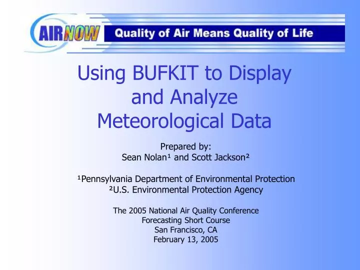
Using BUFKIT to Display and Analyze Meteorological Data. Prepared by: Sean Nolan¹ and Scott Jackson² ¹Pennsylvania Department of Environmental Protection ²U.S. Environmental Protection Agency The 2005 National Air Quality Conference Forecasting Short Course San Francisco, CA

E N D
Using BUFKIT to Display and Analyze Meteorological Data Prepared by: Sean Nolan¹ and Scott Jackson² ¹Pennsylvania Department of Environmental Protection ²U.S. Environmental Protection Agency The 2005 National Air Quality Conference Forecasting Short Course San Francisco, CA February 13, 2005
Outline of Presentation • History/background of BUFKIT • How to install and run • Installation process • Importing/viewing data • Features of BUFKIT • Profile screen • Overview screen
History of BUFKIT • In 1995, the NWS Buffalo office developed BUFKIT to assist forecasters with lake-effect snow events. • By 1997, BUFKIT was expanded to include convective parameters to assist forecasters with non-winter convection. • Today, it is used by various government offices and universities to assist in air quality forecasting.
Static – not real interactive Have to access four or five different web sites to get different data, such as soundings, cross sections, hodographs, etc. Example - Plymouth State University Website (static image) Conventional Websites
Interactive – can change options on the fly A lot of the data is centrally located within one program (can view sounding, cross-sections, convective parameters, etc. at the click of a mouse) Example – Bufkit (can zoom on a certain section of sounding at the click of a button) BUFKIT Zoom in on the boundary layer to view better temperature vs. height features
Installation (1 of 2) Downloading the executable file Go to www.erh.noaa.gov/buf/bufkit/bufkit.html
Installation (2 of 2) BUFKIT is installed . . . Now what?
Setting up BUFKIT Edits to BUFKIT’s configuration file “bufkit.cfg” are required to make it work in your forecast area(s). Steps for configuration • Go to the folder where BUFKIT is installed: e.g., C:\Program Files\BUFKIT. • Open “bufkit.cfg” with a text editor. • Specify your location and favorite profile sites.
BUFKIT Data (1 of 3) • BUFKIT uses forecast model output from particular gridpoints, typically near the airport in a selected city. • Data from all model layers are available. • Data are hourly from ETA, MM5, and RUC models, every 3 hours from GFS. Image courtesy of AMS Short Course at 33rd Broadcast Conference
BUFKIT Data (2 of 3) • Raw data are packaged in a text file.
BUFKIT Data (3 of 3) • Data displayed as an upper air “profile”, similar to data collected from a radiosonde
Retrieving BUFKIT Data with BUFGET (1 of 2) • BUFGET is written in a language called TCL/TK; TCL/TK must already be installed on your computer. TCL/TK is available at no cost. • Download and install the TCL/TK package. Suggestion: Search the Internet with Google for the phrase "active tcl download" and select the first returned site: http://www.activestate.com/Products/Download/Download.plex?id=ActiveTcl • Once TCL/TK is installed, the BUFGET program will work properly.
Retrieving BUFKIT Data with BUFGET (2 of 2) • BUFGET is included in the main BUFKIT installation. • It is located in C:Program Files\BUFKIT\Bufget4.tcl • BUFGET is a utility used for retrieving BUFKIT profile files.
Using Archived Data in BUFKIT • BUFKIT is driven by data in the directory, C:\Program Files\BUFKIT\Data • Copy archived data profile files into this “Data” folder to use old data
Example of Using Archived Data Re-analysis of ozone event: June 3, 2004 • If the profile files from this day are saved, they can be re-imported into BUFKIT. • Copy archived files into C:\ProgramFiles\BUFKIT\Data. • Run BUFKIT as normal.
Features of BUFKIT • Displays hourly modeled sounding (on Profile screen) • Calculates convective parameters, including CAPE, CIN, TT, LI, K Index, etc. • Calculates stability parameters, including lapse rates between height levels • Shows a time-height cross-section of the model data (on Overview screen)
Profile Panel Data Panel Control Panel BUFKIT Profile Screen
Overview – Time/Height BUFKIT Overview Screen Profile - A Single Hour
Features of BUFKIT • Let’s look at a high PM2.5 day in Pittsburgh and use BUFKIT features. • Focus on features in the Profile and Overview screens. • Look at sounding data and certain parameters (such as lapse rates, actual modeled data for significant levels, etc.).
Profile Screen (1 of 4) • Look at October 8 when PM2.5 levels reached 73.7 µg/m3 • Initial thoughts – Look at the inversion at the surface and the hodograph option
Profile Screen (2 of 4) • Notice the strong surface inversion with southerly winds in boundary layer • Lapse rates also indicate stability near the surface
Profile Screen (3 of 4) • Surface inversion prevails through the night – low wind speed under inversion with low-level jet above it • A look at the model data indicates temperatures at 990 mb are lower than 985 mb
Profile Screen (4 of 4) • Still strong inversion near surface – for over nine hours • A look at the NEW fog parameter shows that fog was likely near dawn – could contribute to higher PM2.5 levels
Overview Screen (1 of 3) • Plot shows cross-section of time vs. height of RH and inversion locations
Overview Screen (2 of 3) • Plot shows RH plotted with wind speed and potential temperature • Note that from 00Z on Th 7p through 12Z on Fr 7a that the potential temperature also shows a cooling at the surface (i.e., shallow surface inversion)
Overview Screen (3 of 3) • BUFKIT can also plot variables at certain levels on one graph. • Examples • Red line: 2-m T • Green line (solid): 2-m Td • Orange line: Wdir • Blue line: helicity • Green line (dashed): Wspd • Green bars: precipitation type and amounts • Yellow line: mixing heights
Summary • BUFKIT is a very useful tool that utilizes modeled BUFR data and displays it in a manner that is easy to understand • Data can be viewed in sounding mode on the Profile screen • Data can be viewed in time-height cross-section displays on the Overview screen.
Contact Information • Sean Nolan Pennsylvania Dept of Environmental Protection senolan@state.pa.us 717-787-1454 • Scott Jackson US EPA, Office of Air Quality Planning and Standards Jackson.scott@epa.gov 919-541-5647