Download
1 / 28
280 likes | 303 Views
Explore the NOAA Enterprise Architecture framework for geospatial IT planning, emphasizing federated approach, NIST guidelines, and mission alignment. Learn about the relationship with PPBES and Census EA. Stay informed on geospatial technologies and initiatives.

E N D
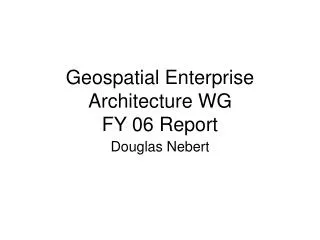
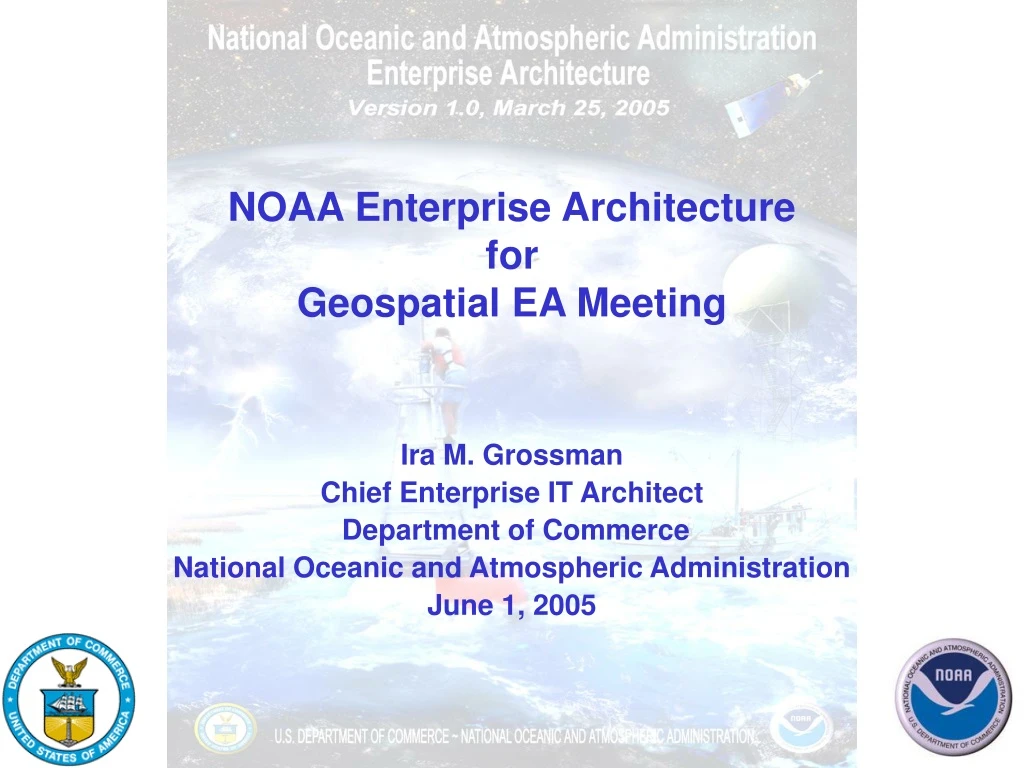
NOAA Enterprise Architecture forGeospatial EA Meeting Ira M. Grossman Chief Enterprise IT Architect Department of Commerce National Oceanic and Atmospheric Administration June 1, 2005
NOAA Enterprise Architecture 06012005 - 2
NOAA National Weather Service • NOAA Satellites and Information • NOAA Fisheries • NOAA Ocean Service • NOAA Research • NOAA Marine & Aviation Operations 06012005 - 3
What Is a Federated IT Architecture? • Defines the common or shared enterprise architecture principles and standards across each agency listed in the Clinger-Cohen Act. • Allows each agency to maintain enough diversity and uniqueness necessary to accomplish its mission, while providing for government-wide interoperability and commonality. 06012005 - 4
A Federated Approach The Enterprise level contains model elements necessary to make organizational wide decisions The Domain Architecture contains model elements that are necessary to make operational decisions The Management Layer is the bridging model between the operational and strategic models 06012005 - 5
NIST Enterprise Architecture Framework • IT Architecture Components • Business Process • Information Flows and Relationships • Applications • Data Descriptions • Technology Infrastructure OMB Circular A-130, Management of Federal Information Resources, November 28, 2000 NIST Special Publication 500-167, Information Management Directions: The Integration Challenge” September, 1989 06012005 - 6
Vision To Clearly Link Strategic Plan, Mission, and Business Processes to Enterprise Architecture to Capital IT Investment Planning and Decision Making Strategic Plan IT Capital Investment Planning And Decision Making Mission Enterprise Architecture Business Processes 06012005 - 8
PPBES ties planning, programming, budgeting, and execution together to ensure activities the agency undertakes are effective in meeting NOAA’s mission and vision. 06012005 - 9
Relationship between NOAA PPBES and Enterprise Architecture 06012005 - 10
NOAA Enterprise Information Technology Architecture Committee • Serves the NOAA CIO Council as a resource to establish Enterprise IT Architecture (EITA) policies and standards • Develop and promote subject matter expertise in areas/programs assigned to the committee • Leads NOAA in the implementation and sustained use of EITA as a strategic information management and decision-making practice 06012005 - 11
The Department of Commerce Has Standardized on METIS 06012005 - 12
What geospatial functions or data are used in your agency that may be candidates for inclusion in your agency EA? Excerpts from NOAA’s Enterprise Architecture Version 1.4, May 27, 2005 06012005 - 15
FEA Service Component Reference Model Mapping Table 06012005 - 16
NOAA Initiatives - Geospatial Technologies • Geospatial technologies, principally GIS, must be at the core of integrating data from multiple sources. • The NOAA Enterprise GIS Committee will make stronger connections to the NOAA Data Management Committee efforts to establish data management policy, archive and access observed data and information, developing approaches to metadata, and analyze data and information related to official predictions. 06012005 - 17
Ecosystems - Geospatial One-Stop • NOAA is working as a federal partner to build the coastal and marine components of the Geospatial One-Stop Initiative • NOAA’s goal for standardization and dissemination of geodetic, hydrographic, shoreline, and other data is a prime beneficiary of this effort 06012005 - 18
Ecosystems - Geospatial One-Stop • NOAA must position itself within the Federal Government’s Geospatial One-Stop (GOS) portal • Technical issues NOAA-wide GIS architecture will address • Hardware • Software • IT architectures • Data standards • Metadata development • Methods of data exploration and delivery • Collaboration among NOAA’s GIS user community • Improving training 06012005 - 19
Climate - Geospatial One-Stop Data Target Architecture • NOAA will comply with Federal Geographic Data Committee (FGDC) standards. • NOAA will continue to participate in FGDC standards committees and in development of the National Spatial Data Infrastructure (NSDI) • NOAA will support • Geospatial One-Stop Leadership and Coordination • FGDC Marine and Coastal Spatial Data Subcommittee • FGDC Marine Boundary Working Group • NSDI Future Directions Initiative • Geospatial Standards • Metadata Training and Implementation 06012005 - 20
Commerce And Transportation- Geospatial Technologies Data Acquisition and Observation Systems • Collects: • hydrographic and shoreline data with geospatial technologies (geographic information systems , global positioning systems, remote sensing) • in situ physical oceanographic observations; transportation related weather observation data sets • data supporting framework for consistent, accurate and timely positioning. 06012005 - 22
Commerce And Transportation- Geospatial Technologies • Data is used to create a variety of products • Forecasts • Nautical charts • Tide tables • Publications • Data is archived in a number of locations including the NOAA data centers, the National Archives and within NOAA programs • Archives include metadata for ease of access and to determine the appropriateness of use. 06012005 - 23
Commerce And Transportation- Geospatial Technologies • In the NOAA Ocean Service, the geospatial data manager (on the Chief Information Officer’s staff) assists the data creators to produce metadata that complies with the Federal Geographic Data Committee (FGDC) content standard. • The metadata is posted to the FGDC clearinghouse and to the NOS Data Explorer for access by the public, NOAA and NOS offices. • The NOS Data Explorer is a portal to data stored in a variety of locations in NOS and is driven by FGDC standard metadata. 06012005 - 24
Geospatial Profiles for Surface Transportation Use of GIS formats Profile areas where elevation (height) is important (e.g. mountain passes, evacuation routes) for technique development and hazard identification. PORTS (Physical Oceanographic Real-Time System) Decision support tool Unique at each site Integrates real time environmental observations, forecasts, and other geospatial information Commerce And Transportation- Geospatial Technologies 06012005 - 25
Contact Information Ira Grossman NOAA OCIO (301) 713-3345 x140 ira.m.grossman@noaa.gov 06012005 - 26
Questions and Hopefully Answers 06012005 - 27
Outline • What is the status of Enterprise Architecture deployment in our agency? • What software do you use to describe or model your EA? • How is your architecture documented (formats, models, etc)? • What geospatial functions or data are used in your agency that may be candidates for inclusion in your agency EA? • Are geospatial features present in your Reference Models? • Is any documentation available for posting? • What outcome from this GEA activity would be helpful to your organization to better identify geospatial resources for others internal/external to find? • What would a "Geospatial Profile" mean to you? • What ancillary documentation or guidance would be useful? • What outreach resources would be helpful? Who are the audiences? 06012005 - 28