Download
1 / 24
251 likes | 431 Views
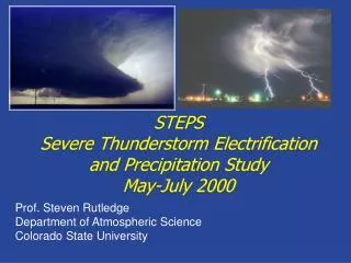
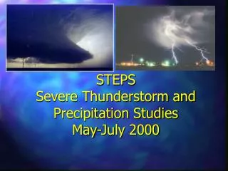
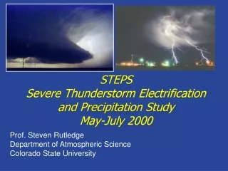
STEPS Severe Thunderstorm Electrification and Precipitation Study May-July 2000. S. Rutledge, S. Tessendorf, K. Wiens, T. Lang, J. Miller # Department of Atmospheric Science Colorado State University # National Center for Atmospheric Research. STEPS Objectives.

E N D
STEPSSevere Thunderstorm Electrification and Precipitation StudyMay-July 2000 S. Rutledge, S. Tessendorf, K. Wiens, T. Lang, J. Miller# Department of Atmospheric Science Colorado State University #National Center for Atmospheric Research
STEPS Objectives To gain a better understanding of interactions between kinematics, precipitation production and electrification in severe thunderstorms over the High Plains. What are the conditions that differentiate supercell storms into high precipitation, moderate precipitation, and low precipitation events? Why do some severe storms produce anonymously large amounts of positive cloud-to-ground lightning?
Lightning Statistics from NLDN Density of severe storm reports with +CG Dry line positions for June 99 STEPS domain centered on area with high probability of severe weather and storms that produce significant fractions of positive CG lightning. STEPS domain also corresponded to climatological position of dry line. Courtesy, L. Carey, L. Barker.
POSITIVE CGMECHANISMS SHEAR, POSITIVE CHARGE DISPLACED LATERALLY (NORMAL POLARITY DIPOLE) ENHANCED LOWER POSITIVE CHARGE (INVERTED DIPOLE) PRECIPITATION MECHANISM (NORMAL POLARITY DIPOLE)
STEPS highlights Observations of 8 weak events, 7 moderate storms, and 5 severe storms. Highlights include major downburst events on 31 May and 19 June, a bow-echo MCS on 11 June, LP supercells on 31 May and 5 July, and MP/HP supercells on 22 June, 24 June and 29 June. STEPS information at http://www.mmm.ucar.edu/community/steps.html Operations journal (with text and radar summaries) at: http://www.mmm.ucar.edu/pdas/Ops-journal/ops-summary.html Support provided by NSF and NOAA. Key participants: NCAR, NSSL, NWS, NMIMT, SDSMT, CSU, OU, FMA Research, Inc. STEPS featured a unique set of observational platforms!
Radar Network Dual-Doppler and Triple Doppler configurations
STEPS Fixed Instrumentation: Triple-Doppler Network and LMA (VHF TOA) • At KGLD: • NWS • T-28 • NSSL • Electric field balloon • Mobile mesonet • MGLASS Lightning mapping/ Emission from negative leaders in positive charge regions—good for locating positive charge layers
STEPS Facilities NCAR S-pol NSSL EFM NWS Goodland SDSMT T-28
STEPS Ops Center CSU-CHILL National Radar Facility; 10 cm polarimetric/Doppler
29 June 2000 Rotation--mesocyclone Reflectivity Radial velocity
29 June 2000 Reflectivity Radial velocity
Reflectivity A “static” view Column max’s Vertical velocity Vorticity offset from storm core on right flank Vorticity “Theta e” ridge in vicinity of storm track
Theta e ridge clearly present
LMA-derived flash rates (NMIMT algorithm); positive CG’s from NLDN
X vorticity Broad, intense updraft
Zdr column indicative of large drops being lofted into main updraft—increases with time— pronounced beyond 2330 UTC
Graupel and Hail Volume Time Height History Positive CG lightning occurs in concert with significant graupel and hail development LMA reveals that positive CG’s are from lower levels and co-located with a zone of significant hail/graupel. “Inverted” storm. Mean starting altitudes of NLDN-confirmed CG’s as revealed by LMA
Positive CG locations during intense phase (first peak) Ground strike locations; starting heights of CG’s
Summary LWC, 5 g/m3 Afforded by broad updraft--- • Juxtaposition of vorticity column, and updraft (supplying supercooled liquid water) allowed recycling of embryos into storm draft creating a robust mixture of graupel and hail. • Hypothesis is that charge separation occurred in this region via non-inductive charging. Relevant hydrometeors—hail and graupel? Graupel acquires positive charge, hail negative? • Hail fallout may provide downward bias for positive leader. Takahashi, 1978.