Download
1 / 14
140 likes | 464 Views
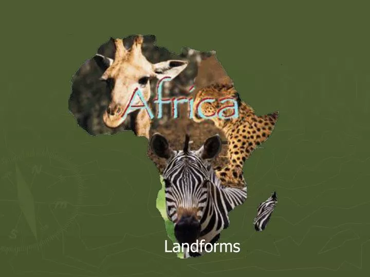
Landforms. Sahara Desert. Worlds largest desert 3 ½ million sq. miles Sahara comes from the Arabic word Sahra meaning ‘desert’ Hot dry climate Rainfall is less then 4 inches a year. Sahel. Dry grass land just south of the Sahara. This region has been in a drought since 1968. Nile River.

E N D
Sahara Desert • Worlds largest desert • 3 ½ million sq. miles • Sahara comes from the Arabic word Sahra meaning ‘desert’ • Hot dry climate • Rainfall is less then 4 inches a year.
Sahel • Dry grass land just south of the Sahara. • This region has been in a drought since 1968.
Nile River • The longest river in the world. 4,160 miles • The Nile valley and Nile Delta are some of the most fertile farming land. • 70% of the Nile water comes from the Blue Nile. • The Delta has swampy lands and salty lakes, as well as highly fertile soil.
Suez Canal • Opened in 1869 • 120 miles long between the Red Sea and the Mediterranean sea. • 64 feet deep • 741 feet wide At the narrowest points
Lake Chad • 6,300 square miles • The lake is much larger in the wet season then in the dry season. • The average depth is 22 feet.
Great Rift Valley • Located in Eastern Africa. • 4,500 miles • The walls rise 6,600 feet • The tectonic plates move ½ to 4 inches a year
Ethiopian Highlands • 2/3rds of the country • 6,000 to 10,000 feet above sea level • Receives about 40 inches of rainfall a year
Congo River • Fifth longest river in the world. • Carries more water then any other except the Amazon. • Has no delta the water flows into a deep ocean trench
Lake Victoria • Largest lake in Africa • Second largest freshwater lake in the world • Depth is 270 feet • More then 200 species of fish live in the lake
Mt. Kilimanjaro • Africa’s highest mountain • Two summits • Kibo summit • 19,340 feet • Mawensi summit • 16,890 feet • Dormant volcano • Slopes are good for agriculture due to good rainfall
Zambezi River • Fourth longest river in Africa • 1,700 miles long • Boarder of Zambia and Zimbabwe • Empty’s into the Mozambique channel
Victoria Falls • Zambezi river drops into a canyon about 40 miles long. • The falls height varies from 256 to 355 feet • Named by the locals Mosi-oa-Tunya (smoke that thunders) • A hydroelectric dam was built to produce a small amount of power.
Cape of Good Hope • Named because the discovery of it might lead to a sea route to India. • Use to be named cape peninsula • Lies 100 miles northwest of Cape Agulhas