Download
1 / 25
261 likes | 507 Views
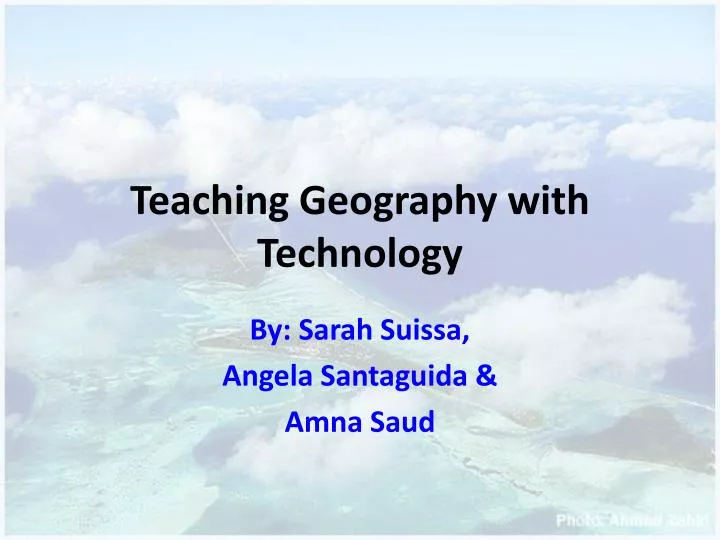
Teaching Geography with Technology. By: Sarah Suissa, Angela Santaguida & Amna Saud. What is Geography?. According to the Merriam-Webester dictionary, Geography is:

E N D
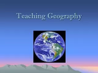
Teaching Geography with Technology By: Sarah Suissa, Angela Santaguida & Amna Saud
What is Geography? • According to the Merriam-Webester dictionary, Geography is: A science that deals with the description, distribution, and interaction of the diverse physical, biological, and cultural features of the earth's surface. • Physical geography: Focuses on earth science. • Human Geography: Focuses on studying humans in various populations and environments.
How do educators teach with technology? -Education today is influenced by technology - Using computers, podcasts, videos, projectors and more. - Helpful to students, teachers and parents
Article Using geographic information systems in education research and policy analysis by Casey Cobb. • It discusses how Geographic Information Systems are used in education research and in general.
Geographic Information Systems • Computer based technology • Permits to create, store, see and manipulate geographically referenced information. • powerful software mostly use for geographical purposes.
GIS is used for … • General mapping services • Used by environmentalists, agriculturists and social scientists • Used to expose the diseases and improve crop fields. • Used for market research • Use widely for city and state planners
GIS is used for… • The city of Tacoma created a CRIME ANALYSIS MAPPING SERVICE • Used for emergency purposes like the routes to take. • Produces digital maps with certain feature (lines, polygons, points).
GIS – study in Arizona; Phoenix. • A study on the comparison of charter schools • Charter schools are public elementary or high schools that receive public money • Researchers used ArcView to store the schools’ data. • Shapefiles (many layers) • ArcView helped in positive ways
Article 2 Indigenous values and GIS: A method and a framework. Business Alert, 14(1), 10-15. by Garth Harmsworth. • presents a framework and method to incorporate the New Zealand values into Geographic Information Systems (GIS) tools.
Example continuation • Information is stored and represented in layers • these layers represent levels of detail, sensitivity and confidentiality of the new Zealand values. . • Some information is to valuable to be stored on layers so they are stored in a directory to an individual person.
E-learning for Geography's Teaching and Learning Spaces • Educational technology provides a broad range of e-learning opportunities enabling students to develop communication, information literacy, project management, team and independent working skills. • E-tools support geographical visualization include animations, cartographic, GIS technologies, and virtual field trips. • Mobile technologies such as GPS, mobile phones, Pocket PCs and PDAs enable students to connect with field sites. • Podcasting provides email and blog facilities to learners.
CONCLUSIONS • E-learning is an integral part of the learning process in education. • Effective online courses need training and support for both teachers and learners. • Students’ feel motivated and learning is increased by the adoption of technology.
Technology in Geographic Education: Reflections and Future Directions ROLE OF TECHNOLOGY IN GEOGRAPHY GIS (geographic information systems), computer cartography, and remote sensing enhances students’ engagement in learning. University of Michigan reported children can gain the equivalent of 3 months of instruction per school year with computer availability. Powerful tools include spread sheets, word processing, graphic displays, global positioning systems. Geographical educational technology has 3 categories data base systems, exploratory systems, and simulation systems. Digital-based multimedia workstations are becoming the core of educational resource. Satellites give students an opportunity to explore various parts of the world. Use of spatial analysis techniques is stimulating for students.
Technology in Geographic Education: Reflections and Future Directions CONCLUSIONS Design curriculum that integrates spatial technology in teaching geography. Train teachers to specialize the skills in the application of geographic teaching. Funding from Government and private corporations to facilitate geographic based software and hardware. 4. Quality standards and ethics for information systems. 5. Integrate technology in geography organizations.
Digital:earth:at – Centre for Teaching and Learning Geography and Geoinformatics by Michaela Linder-Fally • In Salzburg, Australia, 2008 geography teachers wanted to improve teaching methods by integrating a communication platform • Teaching methods must be adaptive to changing technological environments. • the teacher’s role will be to actively support students rather than transmitting knowledge. • In other words, breaking the gap between virtual realities and school education.
Their developments • The Salzburg University’s centre for geoinformatic developed a program of Digital Earth • visual digital 3D representation of the Earth with digital knowledge from around the Planet • describing scientific, • natural, • and cultural information • students to understand the Earth and its system. • The platform is linked through Internet, and allows communication • For students, teachers, and scientists. • The Digital Earth provides many activities for different target groups, • it allows teacher assistance, • brings together a large group of geographer.
The Study A study was conducted to show boys and girls interest in geography, for boys a 49% interest girls a 27% interest. Then boys and girls were to evaluate their interest of geography using technology and Digital Earth programs and in general the students’ interest Up by 50%. A low percentage (13% ) of teachers use digital technology while teaching geography WHY Lack in training and knowledge of the programs In conclusion Teachers training can increase the use of technology programs into the classroom would be beneficial for student learning. http://www.digitalearth.at/
Views of student teachers on information technology integration in geography teachingby Hakkı Yazici and Hilmi Demirkaya • Views of primary school educators, and uses of information technology. • A study was conducted asking 122 teachers to prepare a geography lesson • Result 59% of teachers used information technology
No Use of Technology • Teachers who did not use technology • lack of knowledge, • schools did not have technology facilities, • others preferred traditional teaching methods, • few thought it was unnecessary to use technology in geography lessons, • would weaken teacher-student interactions.
Use of Technology • For the teachers who did use information technology within their lessons • Better for students • To learn visually, • Would increase students attention • Increase motivation in geography lessons, • More fun and learnt more by • Sharing maps, • Land activities, • Computer animation
Conclusion • Information technology can be beneficialin instructing programs for schools. • It offers to enrich geography learning and teaching and can help with organization. • However • It is accepted that educators need knowledge of information technology to enhance lessons.
An Interesting Quote “E-Learning delivers many enhancements to teaching and learning experience; the biggest impact occurs when the technology enables social and collaborative interaction where all parties actively build their understanding” S. Lee & M. Berry (2006). Learning through collaboration. Coming of Age – An Introduction to the New World Wide Web.
An Online Geography School Using GeoBytes http://cgz.e2bn.net/e2bn/leas/c99/schools/cgz/accounts/staff/rchambers/GeoBytes/Homepage/index.htm What does it have? • Online course and community • Podcasts • Online web materials • Department for resources • E-mail for staff and students • Games • Blogs • Wikis
Other Links to Fun Learning • http://www.geography4kids.com/ • http://funschool.kaboose.com/arcade/history-geography/index.html?page=2 • http://www.kbears.com/geography.html • http://kids.nationalgeographic.com/kids/ • http://www.canadiangeographic.ca/kids/ • http://www.sheppardsoftware.com/Geography.htm
References Lindner-Fally, M. (n.d.). Digital:earth:at – Centre for teaching and learning geography and geoinformatics. University of Salzburg. Lynch, K., Bednarz, B., Boxall, J., Chalmers, L., France, D., & Kesby, J. (2008). E-learning for Geography's Teaching and Learning Spaces. Journal of Geography in Higher Education, 32(1), 135-149. Nellis, M. D. (1994). Technology in geographic education: Reflections and future directions. Journal of Geography, 93(1), 36-39. Ozgen, N. (2009). The functionality of a geography information system (GIS) technology in geography teaching: Application of a sample lesson. Educational Sciences: Theory and Practice, 9(4), 1879-1894. Shaunessy, E., & Page, C. (2006). Promoting inquiry in the gifted classroom through GPS and GIS technologies. Gifted Child Today, 29(4), 42-53. Yazici, H., & Demirkaya, H. (2010). Views of student teachers on information technology integration in geography teaching. Scientific Research and Essay, 5(13), 1746-1753.