Download
1 / 15
170 likes | 391 Views
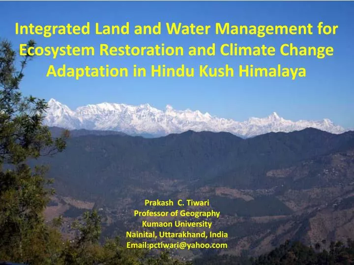
Integrated Land and Water Management for Ecosystem Restoration and Climate Change Adaptation in Hindu Kush Himalaya. Prakash C. Tiwari Professor of Geography Kumaon University Nainital , Uttarakhand , India Email:pctiwari@yahoo.com. Mountain Are Critical For Global Sustainability.

E N D
Integrated Land and Water Management for Ecosystem Restoration and Climate Change Adaptation in Hindu Kush Himalaya Prakash C. Tiwari Professor of Geography Kumaon University Nainital, Uttarakhand, India Email:pctiwari@yahoo.com
Mountain Are Critical For Global Sustainability • Mountains share 24% global land surface are home for 12% people • Nearly 70% population receives freshwater supply from mountain headwaters • The largest trans-boundary river systems of the planet have their origin in high mountains • Mountains have still the largest proportion of world’s forests which not only constitute global biodiversity hot spots and the pool of genetic resources • However, mountains have long been marginalized from the view point of sustainable development of their resources and inhabitants • Currently, mountain ecosystems as well as mountain communities are particularly threatened by the ongoing processes of environmental global change • Nearly 90% mountain population live in developing or transition countries which constitute some of the poorest and marginalized people of the world • Hindu Kush Himalaya constitutes headwater of South Asia, but it has access to less than 5% global fresh-water resources • Himalaya is the most densely populated mountain which is inhibited by humans above an elevation of 5000 m • Hindu Kush Himalaya would play very crucial role not only in attaining water, food, livelihood and health security and climate change adaptation, but also in alleviating poverty and even in ensuring peace in South Asia
Global Change and Mountain Ecosystems DRIVERS ECSYSTEM IMPACTS VULNERABILITY TO MULTIPLE NATURAL RISK SOCIO-ECONOMIC IMPLICATIONS Population Growth Deforestation Rapid Urbanization Accelerated Erosion Loss of Biodiversity Infrastructure Development Tourism Growth Debris & Mud Flow Groundwater Disruptions Infrastructure Development Employment Riverbeds Siltation Market Access Soil Loss Economic Globalization Landslides Water, Food. Livelihood & Health Insecurity Snow & Glacial melt Flash Floods, Floods & Droughts Resource Exploitation Rainfall Variability Increased Out-migration GLOF Land Use Change Reduced Water Availability Climate Change
Hindu Kush Himalaya Represents one of the Most Vulnerable Mountain Ecosystems of the Planet Natural Vulnerability Anthropogenic Vulnerability • High Altitude • Steep Slopes • Geo-tectonically Alive • Young Mountains • Climate Change • Densely Populated • Severely Limited Arable Land • Limited Livelihood Options • Subsistence Economy • Underdeveloped • Remoteness • Poor Accessibility • Political Marginalization • Increased Out-migration
Km 2 1 0 1 2 Km LAKE REGION DISTICT NAINITALLand Use Changes (1981– 2012) N Nainital Bhowali Bhimtal Jeolikote LEGEND Cultural Features – Oak Forest Cultural Features – Pine Forest Cultural Features – D. Forest Cultural Features – Plantation Lakes No Change area Forest – D. Forest Forest – Lantana Forest – Plantation Forest – Fallow Land Forest – Settlement Forest – Others o
Ground Water Status in KosiHeadwater (Rawat2012) 1981 Temporary Water Table Permanent Water Table Water Reserve km 2012 Temporary Water Table Spring Dried Spring Dried Permanent Water Table Water Reserve km Annual Rainfall Decreased: 11% Number of Rainy-days Declined: 15%
Hydrological Responses of Himalayan Watersheds: Maximum Flood Rate 1.670 In Comparison to Oak Forest flood rate is nearly 35 times higher in urban land use 0.836 m3/ Sq km/second) 0.422 0.260 0.048 Oak Forest Pine Forests Barren Land Cultivated Land Urban Systems
Hydrological Responses of Himalayan Watersheds:Overland Land Flow Per Cent of Total Rainfall Oak Forest: 3.50% Pine Forest: 5.60% Urban Systems: 65.00% Cultivated Land: 15.00% Barren Land: 25.00%
Integrated Land and Water Management Approach Water Availability Utilization & Access Integrated Resource Management Location-Altitudinal Transact Critical Headwater/Watersheds Precipitation Ground Interactions Land Use Planning Geology, Soils, Slope, Aspect, Drainage Water Demand (Agriculture, Domestic, Industry etc.) Traditional Water Management System & People’s Priorities Run-off Water Conservation Measures Land Use Pattern Income Generation Economic Viability Food, Livelihood & Heath Groundwater Technical Feasibility Gender Sensitization Water Discharge (Springs & Streams) Social Equity Social Structure Adaptive Water Management: Demand Prioritization, Rainfall Variability, Extreme Events Water Quality Water Availability Water Price Multi-stakeholders Governance Knowledge Generation Validation & Synthesis Conceptualization, Decision & Planning Implementation, Monitoring & Assessment Institutionalization and Sustainability
Natural Resources Information System for Integrated Land and Water Management Land Use Planning Land Use Climatic Data Natural Resources Inte-grated Land & Water Manage-ment Precipitation Terrain Characteristics Temperature Management Options for Different Land Use Categories Extreme Event History Disaster Mapping Disaster Vulnerability Adaptation Programme, Disaster Risk Reduction Adaptive Resource Manage-ment Headwater Prioritization & Management Water Availability Livelihood & Food Systems Resource Ownership
LAKE REGION DISTRICT NAINITAL NATURAL RISK VULNERABILITY Very Low Low Moderately Low Moderate High Very High % Cultivated Land & Settlements
LAKE REGION DISTRICT NAINITAL ADAPTIVE LANDUSE Settlements (5%) Water Conservation (4%) Water-bodies (2%) Forest (62%) Agriculture (20%) Horticulture (7%) Water Conservation (4%) Settlements (5%) Water-bodies (2%) Horticulture (7%) Cultivated Land (20%) Forest (62%) NRDMS Centre,Nainital
MICRO-WATERSHED LEVEL INTEGRATED LAND AND WATER MANAGEMENT OPTIONS N LEGEND: Reserved Forest Community Forests Horticulture & Tea Farming Cultivated Land Vegetable Farming Water Conservation Sites
VILLAGE LEVEL INTEGRATED LAND AND WATER MANAGEMENT FRAMEWORK SAIL AND BUNGA N LEGEND: Spring Sanctuaries Fodder & Horticulture Development Energy Development & Medicinal Plants Horticulture & Tea Farming Agriculture Catchment Treatment, Check Dams, Ponds 500 m 0 500 m Fig. 4