Download
1 / 37
370 likes | 583 Views
Cottonwood Wash Abandoned Mine Reclamation Project: A Partnership in Watershed Reclamation. Funding. Federal Agencies: Interdepartmental Abandoned Mine Land Watershed Initiative Funds (Clean Water Action Plan) State: Surface Mining Control and Reclamation Act, Abandoned Mine Land Funds

E N D
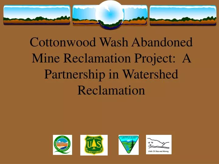
Cottonwood Wash Abandoned Mine Reclamation Project: A Partnership in Watershed Reclamation
Funding • Federal Agencies: Interdepartmental Abandoned Mine Land Watershed Initiative Funds (Clean Water Action Plan) • State: Surface Mining Control and Reclamation Act, Abandoned Mine Land Funds • Total funds expended approx. $1.5
Clean Water Action Plan • Watershed Restoration National Program • Described in the President’s Clean Water Action Plan of 1998 • Funded by the Interdepartmental Abandoned Mine Land Watershed Initiative • Purpose is for “Federal land managers to work in partnership with State and Local agencies, tribes, and private parties to develop strategies for the restoration of watersheds affected by abandoned mines.”
Agency Partners • USDA Forest Service • Bureau of Land Management • Utah Department of Natural Resources, Division of Oil, Gas and Mining, Abandoned Mine Reclamation Program • Utah Department of Environmental Quality, Division of Water Quality
Project Organization • Steering Committee: • Agency Directors • Ensure project priority and availability of resources • Provided dispute resolution • Technical Committee: • Resource Specialist and appropriate Decision Makers from each agency • Conducted project level work
Agency Contributions • BLM contributed AML inventory, exploration road inventory, water quality testing, biological assessment, project archaeologist and radiological studies • FS contributed biological evaluation and waste dump characterization study • State contributed contract procurement and administration, construction over-site, bat surveys, and assisted in AML inventory
Authorities • Clean Water Act/Clean Water Action Plan • General Mining Law of 1872, as amended • 43 CFR 3809 (BLM) • 36 CFR 228 (FS) • Organic Act (FS) • Federal Land Policy Management Act (BLM) • Surface Resources Act of 1955 • Surface Mining Control and Reclamation Act of 1977
Site Selection: Why Cottonwood Wash? • Mixed ownership: BLM, FS, State • Water • State priority watershed • Mining impacts
Cottonwood Wash Background • Description of the watershed - 143,000 acres, ranging from 4,500 feet to 9,500 feet in elevation • BLM lands comprise 33%; USDA-FS, 60%; State, 4%; Tribal, 3%. • Mined for nearly 9 decades for vanadium and uranium • Water sampling showed elevated gross alpha radiation
What Are The Problems? • Dangerous mine openings • Radon • Mined waste dumps/piles contributing sediment and uranium to the stream • Exploration roads contributing sediment
What Are The Solutions? • Close mines that present a risk to human health and welfare • Stabilize mine waste dumps that are eroding into the streams and affecting water quality • Reclaim unneeded access roads, mineral exploration roads and trails • Stabilize the primary road in Cottonwood Wash
What Are The Reclamation Goals? • Close the mine openings to protect the public from radon emissions and accidents • Remove and/or reclaim waste piles and roads • Plug drill holes • Seed disturbed areas with native vegetation to create habitat and reduce erosion
Project Approach Needed Studies/Surveys • AML inventories • Water quality studies • Radiological surveys EPA and Oakridge National Laboratory • Bat surveys • Cultural resource inventories • Exploration road surveys • Biological assessments and evaluations
Preparation Plan for the Environmental Assessment • Writing Proposed Action • Identifying the purpose and need • Conformance with Land Use Plans • Scope of the EA (i.e. alternatives) • Scoping and public involvement • Authorizing decisions
Preparation Plan for the Environmental Assessment Continued • Strategy for preparation and contracting of the EA • Contractor selection process • Contract Administration • Data and information needs • Statement of work
Environmental Analysis • Scoping • Internal • External (Public Meetings) • Environmental Analysis (written by 3rd party contractor) • Decision Record/FONSI (BLM) • Decision Notice/FONSI (FS) • FONSI – DOGM (Office of Surface Mining)
Cottonwood Wash Total Maximum Daily Load (TMDL) • Elevated levels of gross alpha radiation in surface water • Source identification and assessment • Discusses pollutant loading and required load reduction • Control and Best Management Strategies • Monitoring plan
Cultural Resources • Full-time project archaeologist • 106 Compliance through Programmatic Agreement involving 7 signatories, addressed the following: • Prehistoric Cultural Resources • Discovery Plan • Eligibility • Treatment • NAGPRA • Historic Mining Resources • Interpretative Plan • Research • Avoidance • Preservation • Mitigation
Key Points of the Decision Record • A Ute Mountain Ute right-of-way required before construction of hardened stream crossings 1-11 and graveling of the Cottonwood Wash Road. • Abandoned mine sites will be reclaimed even if the State AMRP cannot obtain a right-of-entry. Reclamation will not endanger or materially interfere with prospecting, mining, or processing operations or uses reasonably incident thereto. • Construction work will not proceed until programmatic Agreement filed with Advisory Council on Historic Preservation
Key Points of the Decision Record continued • Certificate of Registration required for appropriate State personnel • A vegetation avoidance strategy-penalty payment by the contractor for unnecessary disturbances. • A monitoring plan would be developed and implemented upon completion of reclamation • Construction activities will be monitored by the UDOGM, AMRP • Construction noise and activity timed to reduce impacts on wildlife
Construction • Reclamation Groups (geographical) • Reclamation Phases (sequencing) • Specifications: written by DOGM with modifications from partners • Project archaeologist played major role in design development to avoid adverse impacts • DOGM issued construction contract and provided management and oversight
Products • Compact Disc with all relevant GIS layers for all partners • Preparation Plan • EA • TMDL Analysis • Cultural Survey Report • Radiological Interpretation Report of waste dumps, water, openings, and millsite
Products and Milestones (continued) • Radiological interpretation of water quality data • Bat survey report • 3 issues of Blue Mountain Shadows (publication of San Juan County Historical Commission): • Mining History of Cottonwood Wash • Pre-history of Cottonwood Wash • Specifications for reclamation construction • Utah Geologic Assoc. newsletter
Media Coverage • Salt Lake Tribune • San Juan County Record (Monticello) • Times Independent (Moab) • Radio and TV news coverage
Unique Challenges • Cultural Resources (pre-pueblo ruins) • Active mining claimants and rights-of-entry • Historic mining districts • Wildlife (survey and construction guidelines) • Land ownership
Unique Challenges (continued) • Determining appropriate players (representative from each organization and organizational level appropriate for your project) • Communication and Agency Culture • Decision making
On the Ground Results • North Black Mesa Butte • 6 BLM sites • South Black Mesa Butte • 10 BLM sites • East Black Mesa Butte • 5 BLM sites
Remaining Segments • West Black Mesa Butte • 36 BLM sites • Mancos Jim Butte • 3 FS sites and 2 BLM sites • Poison Canyon • 9 FS sites • Chippean Rocks • 7 FS sites