Download
1 / 8
80 likes | 241 Views
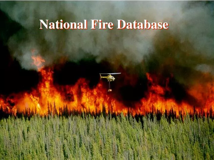
National Fire Database. NFDB Points. Direct carbon emissions from Canadian forest fires, 1959-1999. 2001. Amiro, B.D.; Todd, J.B.; Wotton, B.M.; Logan, K.A.; Flannigan, M.D.; Stocks, B.J.; Mason, J.A.; Martell, D.L.; Hirsch, K.G. Canadian Journal of Forest Research 31(3): 512-525.

E N D
Direct carbon emissions from Canadian forest fires, 1959-1999. 2001. Amiro, B.D.; Todd, J.B.; Wotton, B.M.; Logan, K.A.; Flannigan, M.D.; Stocks, B.J.; Mason, J.A.; Martell, D.L.; Hirsch, K.G.Canadian Journal of Forest Research 31(3): 512-525. Large forest fires in Canada, 1959-1997. 2002. Stocks, B.J.; Mason, J.A.; Todd, J.B.; Bosch, E.M.; Wotton, B.M.; Amiro, B.D.; Flannigan, M.D.; Hirsch, K.G.; Logan, K.A.; Martell, D.L.; Skinner, W.R. Journal of Geophysical Research 108, D1: FFR5, 1-12. Spatial patterns of forest fires in Canada, 1980–1999. 2006. Parisien, M.-A.; Peters, V.S.; Wang, Y.; Little, J.M.; Bosch, E.M.; Stocks, B.J.International Journal of Wildland Fire 15(3): 361-374. Papers
CWFIS – National Fire Data Warehouse – Collections & Products Agency fire perimeters (polygons) Agency ignition locations (points) Hotspots (AVHRR, MODIS, ATSR) Data collections VGT/MODIS burned area maps – provided by CCRS AVHRR daily composite images Weather - daily (pre-1950), hourly (1953+), dispersion index (1998+), upper air (2000+), forecasts (2005+) FWI calculations LFDB Points LFDB Polygons NFDB Points NFDB Polygons CWFIS Map Products Products derived from collections Hotspot point data with interpolated FWI values National Burned Area Database (NBAD) - provided by CCRS - contains agency polygons & points, and EO derived datasets National Burned Area Composite (NBAC)- dataset compiled annually- derived from data contained in the NBAD Daily fire perimeter estimates (buffered hotspots) past 1970 1980 1995 1999 2002 2004 2005 present future
Burned area mapping methods Snuff Lake Fire Alberta/Saskatchewan border 57.35°N 110.00°W June 2-11, 2005 Hotspots (536) – AVHRR & MODIS Buffered hotspots (58,300 ha) HANDS – AVHRR (39,900 ha) Agency maps (43,500 ha) MAFiMS – Landsat (43,400 ha)