Download
1 / 9
90 likes | 170 Views
Explore the latest spatial web services provided by NGIAs at the Second UN-GGIM-AP Plenary Meeting in Teheran, Iran. Discover the key features, data services, use cases, policies, and future works of the geospatial information web services platform.

E N D
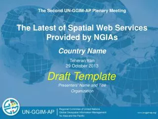
The Second UN-GGIM-AP Plenary Meeting • The Latest of Spatial Web Services Provided by NGIAs • Country Name Teheran Iran 29 October 2013 Draft Template • Presenters' Name and Title • Organization
Outline • Name of Geospatial Information Web Services Platform and Key Features • Serviced Data via the Platform • Use Cases of the Platform • Use Policy of the Platform • Use Policy of Base Map and Base Photo (in the case that base map and photo can be used separately from the Platform) • Challenges and Future Works
Name of Geospatial Information Web Services Platform Insert Screen Shots of Platform [Year of First Creation] [Current Creation Version Number] [Key Features and Functions of Platform]
Serviced Data via the Platform Insert Screen Shots of Serviced Data • Base Map [Name of Origin of Base Map] [Cover Area] [Scale] • Base Photo [Air Photo or Satellite] [Cover Area] [Scale] • Selectable Geospatial Data to Overlay (ex. 3D Building Layer In Google Earth) [Name of Data]
Use Cases of the Platform Insert Screen Shots of Use Case [Use Cases by Public Sector] [Use Cases by Private Sector]
Use Policy of the Platform [Use Policy for Public Sector] [Use Policy for Private Sector]
Use Policy of Base Map and Base Photo (in the case that base map and photo can be used separately from the Platform) [Use Policy for Public Sector] [Use Policy for Private Sector]
Challenges and Future Works [In This Year] [In the Middle Term] [In the Long Term]
Contact information [Name] [Organization Name] [Email Address]