Download
1 / 24
240 likes | 269 Views
Learn about EGNOS, its limitations, markets, and future advancements in satellite-based augmentation systems for mapping applications. Discover the benefits, challenges, and emerging results of utilizing EGNOS. Explore Galileo's role in advancing Europe's positioning capabilities.

E N D
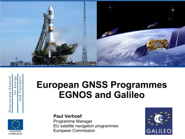
EGNOS for Mapping Mark Scott Helios 7th May 2011
Introduction • What is EGNOS? • Limitations of EGNOS and how they can be overcome • Markets related to the surveying domain • Beyond EGNOS • Our survey – emerging results • Topics for discussion in the workshops
What is EGNOS? • Wide area differential GPS (SBAS) • Operating using geostationary satellites • Aimed to provide: • Accuracy • Availability • Integrity • Continuity • Is used with GPS (and GLONASS) • Is compatible other wide area DGPS systems including WAAS, MSAS and GAGAN
Satellite-based augmentation system fundamentals Indicated location True location • Satellite broadcasts: • Vector correction • Use/don’t use Atmospheric effects (x,y,z) (x,y,z) (x,y,z) Master Control Centre (MCC) Reference stations (RIMS)
EGNOS coverage • EGNOS provides a consistent level of position accuracy throughout most of Europe (metre accuracy) • EGNOS corrections can be received via different means: • directly via EGNOS satellites without any communication costs • via terrestrial communication means such as internet or cellular networks, thanks to EDAS, the EGNOS Data Access Service(compatible with GLONASS)
EGNOS offers three basic services • Open Service, available free to the public for mass-market receivers and common user applications • Safety of Life Service, for safety-critical transport applications, namely in civil aviation - this service provides enhanced and guaranteed performance and features an integrity warning system(Certified on 2nd March 2011) • EGNOS Data Access Service (EDAS), offered on a controlled access basis (e.g. through Internet or mobile phones) to customers who require enhanced performance for professional use (beta testing)
Limitations of EGNOS • It is not well known by all users of GNSS • The availability of the signal • EGNOS are at fixed locations, and are at lower elevations the further north you go • EDAS can overcome these availability issues Line of sight
EDAS fundamentals • EDAS (EGNOS Data Access Service) enables users to obtain • EGNOS corrections without being in sight of the satellites • Local RIMS data in RTCM format
EGNOS and Mapping - free accuracy, widely available • GNSS is widely used for Mapping by organisations such as utility companies, regional and local authorities Now EGNOS can contribute in growing the use of GNSS in real time
Many devices are EGNOS enabled………… illustrative NOMAD 900G Series Zeno 10 & 15 MobileMapper100 GIR1600 Differential GPS Receiver GMS-2 Pro ….these devices are out there. You’re using them. How is the EGNOS feature performing in different situations? SXBlue Mapper 200, 400 & 800
Summary EGNOS is… …an effective option for a wide range of mapping applications with metre accuracy …free; it does not require installation of hardware nor ongoing subscriptions …in most of the new GNSS devices …covers the majority of Europe …permitting real time positioning …providing system integrity, supplying information on the reliability of GPS signals EDAS is… …also receivable by terrestrial communication means, (e.g., internet or GPRS)
Europe needs Galileo • Galileo will ensure the independence of Europe in a sector that has become critical for business • Prevent businesses and people using satnav applications from suffering from unavailability or reduced precision of GPS • In 2009, already 6-7% of EU’s GDP or €800bn relied on satellite navigation through positioning or timing applications • Foster the know-how and employment of people in space, receivers and applications in Europe The European GNSS Programmes
Europe needs Galileo Galileo will improve the overall availability and coverage of GNSS signals • Precision : in a combined GPS-Galileo use, the higher combined number of satellites available to the user will offer higher precision. This will open the door to new applications requiring high precision • Availability/Coverage : The high number of satellites will improve the availability of the signals in high-rise cities, where buildings can obstruct signals from satellites that are too low on the horizon • Coverage : Galileo will provide better coverage at high latitudes than GPS, thanks to the location and inclination of the satellites. This will be particularly interesting for Northern Europe The European GNSS Programmes
Galileo implementation plan In order for Galileo to be recognised by the downstream market as a satellite navigation system of choice it is key to deliver early services as soon as 2014/2015 The European GNSS Programmes
Supporting the markets • The EC released its Applications Action Plan in June 2010, with 24 action points to help the industry reap the benefits of new and improved satellite navigation applications The European GNSS Programmes
Emerging survey results • Based on • 33 responses covering 21 different countries • Survey highlights • What networks do you use? Real-time or post-processing?
Emerging survey results • Survey highlights • Do you face white spots? If so, where? Urban areas Active disturbance factors Places not covered by GPRS Narrow streets White spots in GSM network
Emerging survey results • Are you familiar with EGNOS? Do you use EGNOS? • For those not currently using it would you consider it in the future?
Emerging survey results • Do you think EGNOS could be used as an alternative to the installation of new reference stations for service providers in the effort to extend their network respectively to fill white spots? • Would an affordable entry precision solution (low-cost receiver, free of charge signal, good availability)that offers a real-time metre accuracy all over Europe be interesting for your business?
Survey results • Summary • There appears to be demand for EGNOS • Some are using it already • The majority of respondents are familiar with it • It can help to solve some of the issues of availability and accuracy (at the metre level) • It is not useful for those requiring cm accuracy • Visit http://egnos-portal.gsa.europa.eu/users/mapping • Click on ‘Go to survey’ at the bottom of the page Please help us by completing the survey to ensure the results are as useful as possible
Questions and topics for discussion…… • Survey highlights • Are these the results that you expected? • What positioning services are currently available to you? • Post processing • Real time • Can EGNOS be of benefit to you? • Who is currently using EGNOS? • Have you experienced problems using EGNOS? • What are the problems and how serious are they? • Would you be interested in receiving EGNOS accuracy over GPRS or wifi?
Thank you for your attention Mark Scott mark.scott@askhelios.com