Download
1 / 11
110 likes | 138 Views
The GMBIS project aims to develop a data management framework supporting OBIS. It includes tools for data integration, visualization, and dissemination, focusing on marine population distribution in the Gulf of Maine.

E N D
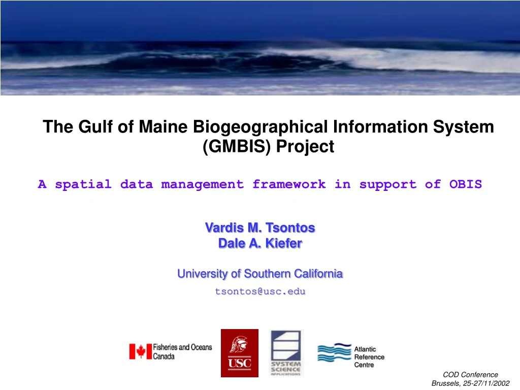
The Gulf of Maine Biogeographical Information System(GMBIS) Project Atlantic Reference Centre A spatial data management framework in support of OBIS Vardis M. Tsontos Dale A. Kiefer University of Southern California tsontos@usc.edu COD Conference Brussels, 25-27/11/2002
The Gulf of Maine Biogeographic InformationSystem Project (GMBIS) • component of the Census of Marine Life / OBIS initiative • - address critical issues of data management / integration • Objectives - develop framework & tools for integration, visualisation, dissemination of biogeographic & oceanographic data • 2 year project funded May 2000 by ONR via NOPP • Partners • - University of Southern California (USC) • - DFO Bedford Institute of Oceanography (BIO) • - Atlantic Reference Centre (ARC) • - System Science Applications (SSA) • - demonstrate the viability of the assembled information system via a pilot • application for the Gulf of Maine: • use extensive BIO & ARC survey databases • thematic context: structured scientific storylines
GMBIS Thematic Approach “Distribution of marine populations in relation to environmental variability in the GoM” Subthemes: scales of variability (spatial, temporal, levels of biological organisation) • Part I The Setting • Large-Scale Topography, Environment and Ecosystem: Scotian Shelf and Gulf of Maine • Climatological seasonal structure of the Gulf of Maine Region • Biological Distributions in relation to GOM physical structure • Characterization of Species Diversity in the GOM by Aggregated Taxonomic Categories • Part II Temporal Variability • Past Examples of Marine Population Changes in relation to Variable Subpolar Influences • Interannual Variability in Drift, Growth & Survival of Browns Bank Haddock Early Life Stages • Recent Interannual Variability in Plankton & Haddock larvae on Western/Central Scotian Shelf • Show utility of system in addressing biogeographic questions • Developed by DFO – longstanding research activities in GoM (eg. GLOBEC G.Bank) • Resulted in a form of synthesis (“Atlas” & data gaps)
Summary of electronically archived data maintained by BIO & ARC • Diverse types of oceanographic & biogeographic data • GMBIS tapped a representative range of data and archival systems
GMBIS Information System Design: Components & Information flow
Environmental Analysis System (EASy GIS) Species richness relative to bathymetry, water density differentials & bottom temperature (summer climatology) AVHRR SST imagery for the Gulf of Maine Time Series plots Image Browse Toolbar Contour plot False colour plot Bubble Plots Depth profile plots Simulation control panel Transect vertical contour plots • PC/WinNT/XP/00/98 system • 4D (lat/lon/depth/time) internal data representation
EASy Netviewer – GIS Web Server Remote Clients browser W E B P A G E PC Server MS IIS • Client-side Functionality: • full data visualisation • data export/download • conferencing Internet EASy Netviewer DLL • Netconsole: • - administration/monitoring tool Mean field Cod & Haddock abundance distributions - Summer • Web-enabled EASy GIS applications with Netviewer plug-in • Deploy multiple GIS applications from single server • Clients access with Web-browser (MS I.Explorer)
Diverse Imagery Supported [CHL] SEAWIFS, Gulf of Maine SST AVHRR, Gulf of Maine Vector Imagery – LA ESRI Shapefiles SAR Image, Santa Monica Bay Aerial photography, Malibu NOAA Nautical Charts • Multiple types / formats (eg. HDF, NetCDF, Binary, DOQQ, Shp) • Automated imagery ingestion/georeferencing – FTP , DODS sources
Virtual Database Utility • Connectivity to any ODBC compliant data source (eg. Oracle, Excel, ASCII) • Maps variably structured relational DB to key fields required by EASy • Maps columnar, flat-file data to critical EASy fields Generic relational database Columnar ASCII/Excel flat-file Dialog Sequence - Select a data source - Choose data types to import - Map the data fields - Save the configuration Import EASy Project Database • Save mapping configurations for reuse/automation
Linking to Online Databases & Webpages • Context sensitive querying of online biogeographic/species identification databases • (eg. OBIS portal, Fishbase, GenBank) GoM Herring distributions and FishBase descriptive species information • Interactively browse web pages with either static or dynamic content
Conclusions GMBIS – Methods for mapping species distribution patterns in the Gulf of Maine GMBIS has produced a range of products of relevance to CoML/OBIS • Generic approach for biogeographic/oceanographic information system • design & implementation • Reusable software tools (EASy & ACON) for the assimilation, integration, visualization • & dissemination of the full range of likely CoML data types (biological & environmental) • Assembled information system– precursor to a dynamic, electronic Atlas for the GoM