Download
1 / 5
50 likes | 68 Views
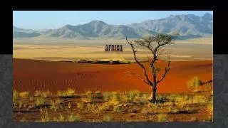
AFRICA. SS7G1a,b. AFRICA Mapping. SS7G1 The student will locate selected features of Africa.

E N D
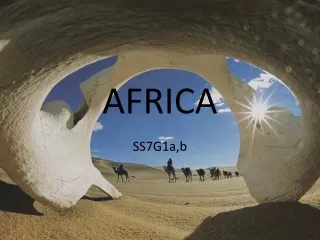
AFRICA SS7G1a,b
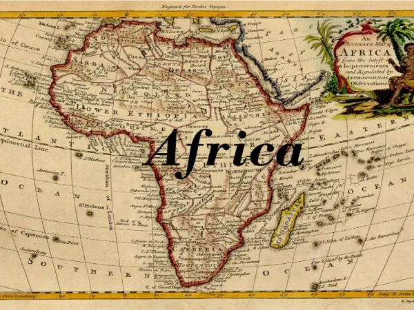
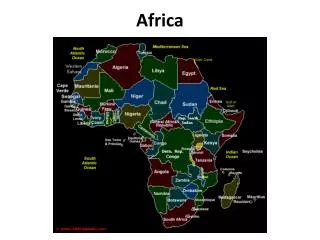
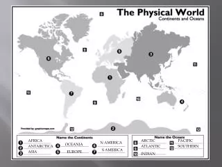
AFRICA Mapping SS7G1 The student will locate selected features of Africa. a. Locate on a world and regional political-physical map: the Sahara, Sahel, savanna, tropical rain forest, Congo River, Niger River, Nile River, Lake Tanganyika, Lake Victoria, Atlas Mountains, and Kalahari Desert. b. Locate on a world and regional political-physical map the countries of, Democratic Republic of the Congo (Zaire), Egypt, Kenya, Nigeria, South Africa, and Sudan.
Egypt Sudan Nigeria Kenya Democratic Republic of the Congo South Africa
Atlas Mountains SAHARA Nile River Sahel Lake Victoria Savannah Niger River Savannah Tropical rainforest Congo River Tropical Rainforest Lake Tanganyika Kalahari Desert
Mediterranean Sea Suez Canal Strait of Gibraltar Red Sea Lake Victoria Atlantic Ocean Lake Tanginika Indian Ocean