Download
1 / 19
190 likes | 193 Views
This article analyzes sea level change, its causes, and potential future scenarios. It discusses contributions from thermal expansion, mountain glaciers, Greenland and Antarctic ice melt, and land water storage. The article also emphasizes the uncertainty in future sea level predictions and the importance of monitoring the cryosphere for accurate measurements.

E N D
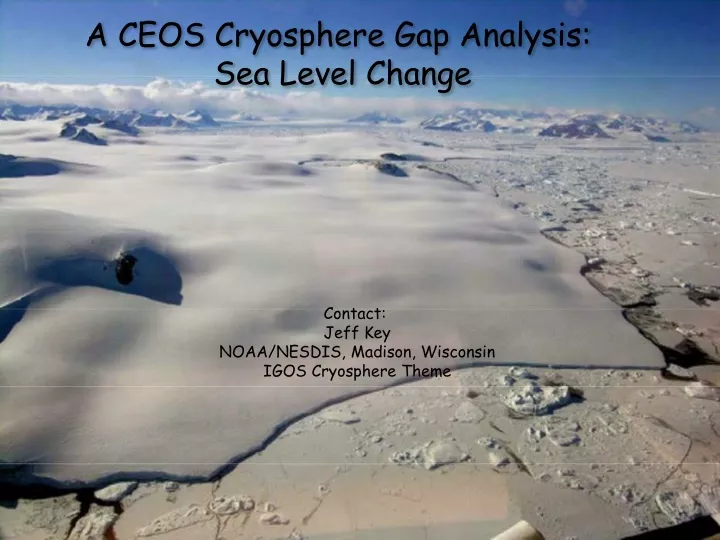
A CEOS Cryosphere Gap Analysis: Sea Level Change Contact: Jeff KeyNOAA/NESDIS, Madison, Wisconsin IGOS Cryosphere Theme
Sea Level is Rising Global Mean Sea Level from Satellite Altimetry Average Rate = 3.5 mm/year (1993-2006) SLR IPCC 2001: 1.8 mm/year Thermal Expansion: (0.5) 1.2 - 1.6 mm/year Mountain Glaciers: (0.3) ~0.9 mm/year Greenland Ice Melt (0.05) ~0.5 mm/year Antarctic Ice Melt: (0) ~0.4 mm/year Land Water Storage: ? [Mitchum and Nerem, 2007]
-21 -14 -12 -8 -4 0 4 8 12 14 21 Sea Level Change is Not the Same EverywhereAverage Sea Level Rise over 1993-2006 mm/yr cm
Effects of Sea Level Rise 1 meter 2 meters 4 meters 8 meters GFDL
What Causes Sea Level Change? (focus of this thread)
Potential Sea Level Change Contributions Thermal Expansion: ~1 meter Mountain Glaciers: 0.5 meters Greenland Ice Melt: 7 meters Antarctic Ice Melt: 60 meters Land Water Storage: < 0.5 meters
Recent Contributions to Sea Level Rise Note the large changes over the last few years.
Mountain Glaciers 1961-2003: 0.5 mm/year 1994-2003: 0.9 mm/year [Dyurgerov and Meier, 2005]
Mass Balance of Greenland Rate of Ice volume change in 2007: All Greenland: -238 km3/yr South Greenland: -164 km3/yr North Greenland: -65 km3/yr
What to Expect in the Future • Future sea level predictions are uncertain because of uncertainties in the contributions of Greenland and Antarctica. • Current language in the IPCC 4th report is conservative - 0.28 - 0.58 m of sea level rise by 2100. • A recent study suggests a range of 0.4 - 1.4 m by 2100. [Rahmstorf, 2007] Even if greenhouse gases were stabilized now, substantial sea level rise would continue for several centuries because of inertia in the climate system (at about 0.1 - 0.25 m/century depending on whether concentrations or emissions are stabilized).
Measurements of Sea Level Change GRAVITY (focus of this thread) REBOUND
Societal Benefit Decision Topic Information Products and Services Science Knowledge and Models Measurements Instruments and Missions Cryosphere “Thread” How will changes in the cryosphere impact sea level? World Glacier Monitoring Service Research products (e.g., GRACE mass change, passive microwave melt, ice velocity) • Glacier and ice sheet state • Glacier and ice sheet elevation change, surface melt, gravity, etc. • Cryosphere monitoring and assessments • Impact Assessments WMO Global Cryosphere Watch IPCC Scenario Impact Assessments • Fully coupled ice sheet models (currently inadequate) • Regional models that represent glacier variability • Climate Models (accumulation, ablation currently inadequate) Research models (e.g., SnowModel, MM5) Climate models & reanalyses: • ECMWF, NCEP, JMA reanalyses • NCAR Community Climate System Model (CCSM) • NOAA GFDL (Princeton) Global Coupled Climate Model • NASA GISS Global Climate Model CEOS measurements • Ice sheet/cap topography and rate of change • Ice stream velocity • Glacier extent • Glacier and ice sheet mass balance • Ice sheet calving rate • Snow cover • Ice surface energy budget • Geoid measurements • Continental rebound Contributions from N CEOS instruments and Mmissions.
Measurement Requirements The IGOS Cryosphere Theme has identified gaps based on current measurement capabilities (“C” in column 2) and requirements (“T” for threshold and “O” for objective). Some ice sheet variables are given in the table.
Status of Satellite Systems for Monitoring Ice Sheets, Ice Caps, and Glaciers
Recommendations • SAR interferometry (InSAR) is a major missing element in plans for cryospheric observations. Implement a virtual multi-frequency multi-polarisation SAR constellation that should be optimized to satisfy all key cryospheric requirements, including InSAR capability. • A dedicated mission for precise mapping of glacier topography is a high priority. Single pass or short-repeat InSAR will provide coverage of all glaciers worldwide. • A satellite mission providing spatially distributed information on accumulation should be implemented, such as the candidate CoreH2O Earth Explorer mission (ESA) concept based on dual frequency (Ku- and X-band) SAR. • Ice thickness measuring radars should be evolved into systems that provide spatial information on the glacier bed, in particular, to identify where the bed is wet or where pooled subglacial water exists.
Recommendations, cont. • Continue the acquisition of high (10 m) and moderate (250 m) resolution optical imagery for detecting rapid changes in ice shelves, ice streams and outlet glaciers and for measuring surface velocity as a complement to InSAR. Continue acquiring low-resolution (1 km) thermal infrared data for measuring surface temperature and albedo. • Long-term continuation of Landsat/SPOT type missions, providing data at favorable costs, are needed to obtain global inventories of glaciers. • Continue surface elevation measurements from polar orbiting altimeters, including Cryosat-2, ICESat, and ICESat-2. Increased spatial resolution of surface topography should be obtained using TANdem-X interferomerically-derived topography. • Continue passive microwave observations of ice sheet surface melt through the re-inclusion of a passive microwave radiometer on NPOESS. • Continue the time series of spaceborne gravity observations for monitoring changes in ice sheet mass and the contribution of ice sheet mass loss to sea level rise.
Linkages and Heritage • GEO Tasks • CL-06-05 on IPY: “Coordinate with the International Polar Year (IPY) to enhance the utilization of Earth observations in all appropriate realms (including, but not limited to, sea and land ice, permafrost, coastal erosion, marine and terrestrial ecosystem change, biodiversity monitoring and impacts of increased resource exploitation and marine transport).” • Heritage/References • IGOS Cryosphere Theme • WCRP Climate and Cryosphere (CliC) project area #2 on sea level rise. • G8 Summit Focus Areas - Climate • WMO Global Cryosphere Watch • World Glacier Monitoring Service • IPCC Scenario Impact Assessments
Acknowledgements Background information was provided by Konrad Steffen (University of Colorado). Ken Jezek (Ohio State University) and Mark Drinkwater (ESA) provided additional information. Some of the material was taken from the IGOS Cryosphere Theme Report.