Download
1 / 40
460 likes | 717 Views
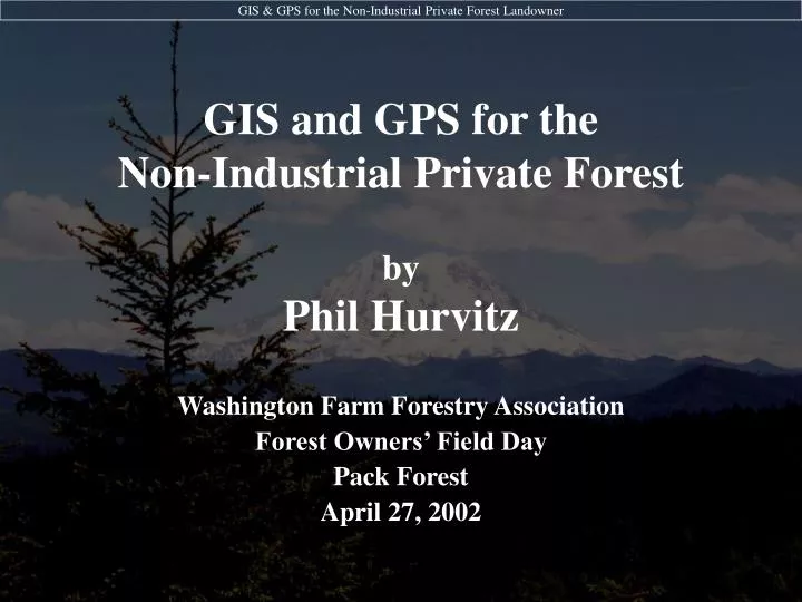
GIS and GPS for the Non-Industrial Private Forest. by Phil Hurvitz. Washington Farm Forestry Association Forest Owners’ Field Day Pack Forest April 27, 2002. NIPF Concerns. Long-term productivity of forest land Accurate inventories of forest resources Compliance with forest regulation

E N D
GIS and GPS for theNon-Industrial Private Forest byPhil Hurvitz Washington Farm Forestry Association Forest Owners’ Field Day Pack Forest April 27, 2002
NIPF Concerns • Long-term productivity of forest land • Accurate inventories of forest resources • Compliance with forest regulation • Road maintenance & abandonment plans • Property & harvest unit layout • Nearly all goals of NIPF requiredetailed knowledge of ground conditions • Accurate maps & inventory • Forest resources/stands/property boundary • Roads • Streams
What is GIS? • Computer-based method for the • Capture, • Storage, • Management, • Analysis, and • Representation/Display of Spatially referenced data … which means … Anything that is or can be mapped
What is GIS? • Map data stored, accessed, and analyzed on a computer
What is GIS? • Map data stored, accessed, and analyzed on a computer
Why is GIS different from paper maps? • Uses the analytical power of the computer to complete complex tasks which would be impossible using paper maps. • Uses the computer's storage power to manage large and complex data sets. • Allows the integration of many different types of data from many different sources (maps, tabular data, aerial photos, elevation models, satellite imagery, CAD data, etc.) within a single storage, management, and analysis environment. • Maps a variety of different data to the same coordinate space, which allows for the analysis of the combination of different themes (e.g., slope, windthrow hazard, and forest age). • Digital data are more stable than paper media, easier to copy, and easier to distribute. Many web sites exist that distribute digital geospatial data.
Why is GIS different from paper maps? (continued) • Digitally created maps are more easily updated than paper maps. • GIS makes it easy to reproduce maps. A single digital map file can be printed at will and multiple times. • Allows the creation and use of "one-time" maps (whereas paper maps generally need to be printed and sold by the thousands to recapture the cost of production). For example, a map can be prepared with GIS specifically for a public presentation; the map may never be used after that presentation. • Allows individual users to tailor their map displays for their own purposes, rather than having to settle for a general-purpose paper map. • Eliminates some user bias (the computer repeats measurement and analytical processes identically, whereas people often repeat processes with random or systematic errors). • Brings new tools for thinking differently about geographic data.
How does GIS work? • Data are stored in a spatially explicit coordinate system
How does GIS work? • Common coordinate framework for multiple data sets
How does GIS work? • Map (coordinate) data have descriptive (attribute) data
How does GIS work? • Data on the map are linked to descriptive data
What can GIS do for the NIPF? • Create maps of your forest • Calculate acreage of forest stands • Calculate length of streams and roads • Generate regulatory buffers around streams and wetlands, … and • Calculate potential loss of harvestable lands • Aid in road design • Aid in sampling and inventory schemes • Provide input data for forest analysis software (e.g., LMS, Envision)
What can GIS do for the NIPF? • Create maps of your forest
What can GIS do for the NIPF? • Calculate acreage of forest stands
What can GIS do for the NIPF? • Calculate length of streams and roads
What can GIS do for the NIPF? • Generate regulatory buffers around streams and wetlands, • Generate regulatory buffers around streams and wetlands, and …
What can GIS do for the NIPF? • Calculate potential loss of harvestable lands
acreage before 150’ buffer acreage after 150’ buffer What can GIS do for the NIPF? • Calculate potential loss of harvestable lands 24% loss of production land
What can GIS do for the NIPF? • Aid in road design: ArcView Pegger extension
What can GIS do for the NIPF? • Aid in road design: ArcGIS Culvert design tool
What can GIS do for the NIPF? • Aid in sampling and inventory schemes
What can GIS do for the NIPF? • Provide input data for forest analysis & visualization software (e.g., LMS, Envision)
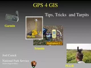
What is GPS? • Radio-wave based location and navigation system • Method for obtaining precise ground coordinates, or navigating to a precise location (15 m to sub-cm, depending on equipment) • Spaceborne satellite constellation segment • Land-based control segment
end: 0.06 s 12,000 mi How does GPS work? • Radio waves are a form of electromagnetic radiation (light) • Constant velocity of 299,792,458 m/s • Distance = rate * time • Radio waves sent from orbiting satellites • Time stamp on signal marks the start of the wave • Time of reception marks the end of the wave start: 0.00 s
How does GPS work? • With the distance from 1 satellite we can locate our position on the surface of a sphere_
How does GPS work? • With the distance from 2 satellites we can locate our position on the intersection of 2 spheres (a circle)_
How does GPS work? • With the distance from 3 satellites we can locate our position on the intersection of 3 spheres (1 of 2 points)_
How does GPS work? • With the distance from 4 satellites we can locate our position on the intersection of 4 spheres (1 point)_
How does GPS work? • The point is located on the surface of the earth_
What are the benefits of GPS vs. manual survey? • Easy to learn • Fast to use • Requires less attention to detail • Errors are not additive • No math!
Potential GPS error sources • Satellite geometry • Satellites that are closer result in less accurate measurements_
Potential GPS error sources • Satellite geometry • A large spread of satellites makes the most accurate measurements_
Potential GPS error sources • Landscape features • Natural & artificial features can intercept signals • Mountains, valleys, hills, buildings, tree canopies, etc._
Potential GPS error sources • Multipath errors • Natural & artificial features can reflect signals • Multiple “ghost” signals can confound timing_
How can GPS support the NIPF? • Harvest unit layout • Obtain boundaries in the field for mapping • Inventory plot layout and relocation • Significantly speed up any surveying or navigation mission • Potentially increase the accuracy & precision of a survey
Resources: Software • Free • ESRI ArcExplorer http://www.esri.com/software/arcexplorer • AutoDesk VoloView Express http://usa.autodesk.com/ • Landscape Management System http://lms.cfr.washington.edu/ • Envision (forest visualization) http://forsys.cfr.washington.edu/envision.html
Resources: Software • $$ • ESRI ArcView & ArcGIS http://www.esri.com/software • AutoCAD Map http://usa.autodesk.com/ • MapInfo http://www.mapinfo.com
Resources: Tutorials • GIS (ArcView) • ESRI Virtual Campus (various software) • http://campus.esri.com • CFR 250 (UW Course, ArcView 3.2) • http://gis.washington.edu/cfr250 • GPS • Trimble • http://www.trimble.com/gps
Resources: Free Geospatial Data • TerraServer (digital orthophotos) • http://terraserver.homeadvisor.msn.com/ • UW Map Library (lots of data) • http://wagda.lib.washington.edu • USGS GeoData (some data require $$ software) • http://edc.usgs.gov/geodata/ • Oregon Geospatial Data Clearinghouse • http://www.sscgis.state.or.us/data/
Hands-on workshop • Download and view data • GPS pre-planning • Data collection & navigation • Differential correction • Import GPS data to GIS