Download
1 / 6
60 likes | 219 Views
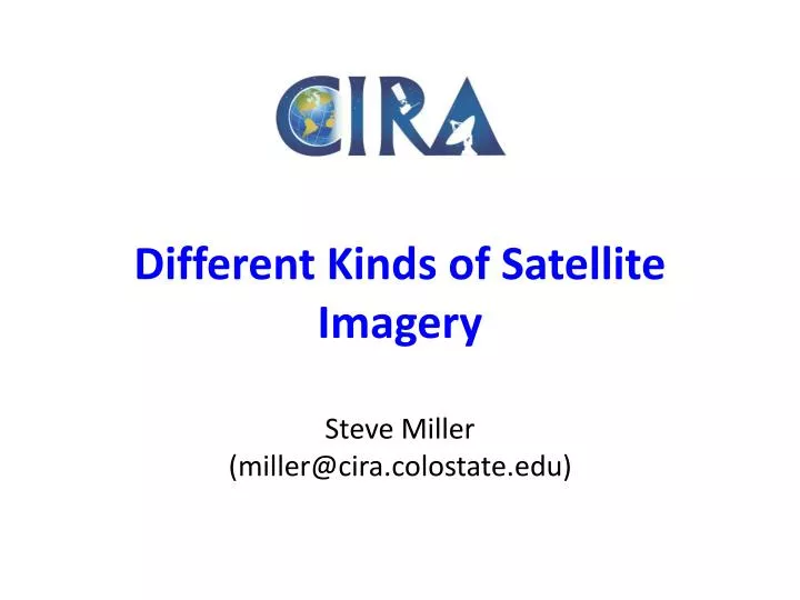
Different Kinds of Satellite Imagery Steve Miller (miller@cira.colostate.edu). Single Band 8-bit. Multi-Spectral 8-bit. “RGB” Imagery 24-bit. “RGB” + Alpha 32-bit. Visible. Infrared. Water Vapor.

E N D
Different Kinds of Satellite ImagerySteve Miller(miller@cira.colostate.edu)
Single Band 8-bit Multi-Spectral 8-bit “RGB” Imagery 24-bit “RGB” + Alpha 32-bit Visible Infrared Water Vapor Digital Numbers, Radiance, Reflectance, or Brightness Temperatures mapped to a 256 element color palette. Data may be scaled (max/min, gamma, exponential, reversed, etc.) to exploit a color table. Color table may be customized to highlight a range of interest. Or, a combination of both. A grayscale linear wedge is perhaps the most basic form of satellite imagery.
Single Band 8-bit Multi-Spectral 8-bit “RGB” Imagery 24-bit “RGB” + Alpha 32-bit Split-Window Dust Detection 11-3.7 micron Fog Detection Channel differences, ratios, or more complex post-processing involving one or more bands that result in a product displayed as 8-bit imagery. Color tables usually apply, as in the single-band imagery. Usually inferior enhancement quality to RGB imagery, but provides direct mapping of colors to quantitative values.
Single Band 8-bit Multi-Spectral 8-bit “RGB” Imagery 24-bit “RGB” + Alpha 32-bit Natural Color RGB False Color RGB True Color R=R G=G B=B Synthetic True Color R=R G=G’ B=B Pseudo Natural Color R=VIS G=SWIR B=TIR Hybrids True Color Clear Sky Background, Updating VIS/IR Foreground Any Applications that Map Arbitrary Bands into the R/G/B Color Guns to Enhance Features in Arbitrary Colors MSG/SEVIRI Contrails Snow Cover Synthetic True True GeoColor Volcanic Ash Lofted Dust POES/AVHRR R(555nm) Error Relative Error (%) Single bands, multi-spectral combinations, or other data loaded into each of the Red, Green, Blue “color guns.” Goal is to enhance features. Color tables usually do not apply.
Single Band 8-bit Multi-Spectral 8-bit “RGB” Imagery 24-bit “RGB” + Alpha 32-bit “Interrogatable” RGB Google Earth/Maps + Mask Confidence Value = 0.978 Alpha-layer used to define transparency The “best of both worlds” in terms of providing superior enhancement capabilities of RGB imagery while providing quantitative (color-bar analog) information as a 4th byte (the alpha-channel) in the imagery. Requires a visualization tool that enables mouse-over data interrogation. GIS-like.