Download
1 / 16
160 likes | 278 Views
This study presents an innovative approach to monitor changes in snowpack and water mass using a superconducting gravity meter installed in an underground mine. The instrument measures variations in gravity, which correlate with changes in the surface mass of water and snow. With high accuracy, this method allows for weekly and monthly assessments of snowpack changes, and provides insights into snowmelt and groundwater dynamics. The research aims to understand water residence times and improve water resource management during winter months.

E N D
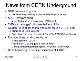
Snowpack Measurements From Underground John Wahr and Judah Levine Department of Physics University of Colorado
The Experiment Put a superconducting gravity meter in the mine to monitor changes in gravity. Use those changes to monitor changes in the mass of water and snow up at the surface.
The Instrument Superconducting gravitymeter, manufactured by GWR Instruments in San Diego. It measures g. A superconducting ball is levitated in a magnetic field. Electrostatic forces are applied to keep the ball centered when g changes. The meter outputs voltage. NOAA is presently operating a meter in Boulder.
Mean value of g = 980 gals . All data analyzed by Doug Robertson (NOAA).
Red: gravitational effects of atmosphere (computed using atmospheric pressure data).
Accuracies at quiet sites are better than 1 µgal for short averaging times.
A change in mass vertically above or below the meter, would cause a change in gravity. We will use the gravity data to estimate changes in the mass of water & snow up at the surface. We have no vertical resolution: we see the sum of snow mass, soil moisture, and ground water. We obtain results averaged over the region above the meter, rather than at a single point.
Mass sensitivity (assumes flat topography) Gravity signal at 1500 m depth, from 3 cm of water spread over a disc.
So, probably sensitive to mass averaged over a disc of radius ~5 km; an area of ~80 km2 . • More sensitive to mass at center of disc than at edges. • 1 µgal accuracy translates to a water thickness accuracy of ~3 cm.
Applications • During the winter, changes in water mass are caused by changes in snow. We can monitor changes in snowpack, averaged over our region, on weekly & monthly scales, and after major storms. • By monitoring the mass decrease as the snow melts, we can determine the fraction of snowmelt that soaks into the ground. This could benefit from independent measurements of snow mass (from snotel stations, or airborne microwave scatterometer measurements). • By watching the mass decrease further after the snow is gone, and after large summer rainstorms, we can determine residence times for water in the ground.
Why do this in a mine? • Gravity measurements at the surface are sensitive only to local water mass. • The surface signal depends on how much water has infiltrated in sideways beneath the building, how much is on the roof, etc.
Complicating factors • How noisy is the mine? • Removal of rock mass will cause a gravity signal. How well can we model it? • Vertical displacements of the meter will cause gravity signals. Can we monitor vertical displacements, or do we have to live with them? • The atmosphere causes a gravity signal. We need barometric pressure data to remove it.
Possible Instrumentation • Superconducting gravity meter. Cost: $450,000 new. Or, NOAA instrument might be available for no cost in short term, though would eventually require $50,000 to restore computer & data acquisition system. • GPS receiver at the surface. Cost: $8000 each. • Snotel station at the surface, to monitor snowpack at a single location. Cost: $18,000. • Barometer(s) at the surface. Cost: ~$4000(?) each.