Download
1 / 28
290 likes | 713 Views
Formation Water Property Interpolation and Mapping from Wireline Logs for the Table Rock Field in the Greater Green River Basin. Patrick Fortson Hunt, Wallace and Associates LLC December 2, 2004. Purpose. Produce map of Table Rock field displaying location relative to political boundaries

E N D
Formation Water Property Interpolation and Mapping from Wireline Logs for the Table Rock Field in the Greater Green River Basin Patrick Fortson Hunt, Wallace and Associates LLC December 2, 2004
Purpose • Produce map of Table Rock field displaying location relative to political boundaries • Combine township/range map with field map • Interpolate formation properties between wells for areas where no data is available
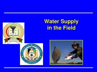
Overall Goal • Determine if water saturated formations can be used as water injection zones for disposal of produced water
Southwestern Wyoming • Wastelandish and proud of it
Data Sources • Wyoming Oil and Gas Conservation Commission • Wyoming Geographical Information Sciences Center
Southwestern Wyoming Biggest city is Rock Springs – Pop. 23016
Well Files from WOGCC Data Available: • Production History • Well Logs • Formation Tops • Gas/Water Analysis • Perforation Intervals
Lack of Data • Virtually no water analysis data
Table Rock Formations • Wasatch • Fort Union • Lance • Fox Hills • Lewis • Almond Water Present
Wireline Logs • Gamma Ray, SP, and Resistivity Log for Fox Hills Water Sand • Other logs give density and neutron porosity, sonic Deep Resistivity SP Deflection
Static Spontaneous Potential for Determining Water Resistivity and Salinity • Rmf to Rmfeq using formation temperature
SSP-Rweq Nomograph • SP deflection to Rmfeq/Rweq ratio using formation temperature • Ratio with Rmfeq to get Rweq
Rw to formation temperature • Follow curve to NaCl concentration in ppm
Problems with Salinity • Special software needed for viewing large raster images of logs • Only four wells have enough viewable data to determine salinity • Not enough points for good analysis • Geostatistical Analyst will not run with fewer than 10 data points
Depth to Formation Top and Thickness • Depth useful for determining general structure of formation and degree of folding • Thickness gives idea of pinchouts and volume estimations • Only Fox Hills and Lewis Formations had data for good interpolation
Spatial Analyst • Analysis Mask sets boundary of interpolation • Problems with Kriging • Inverse Distance Weighted includes Null data points
More Work… • Use ArcScene to develop 3D geologic models of formations • Try to find more data to acquire salinity
Conclusions • GIS illuminated well placement and field location • Geostatistical Analyst provides insight into formation property trends • Free data is good but not good enough