Download
1 / 12
160 likes | 476 Views
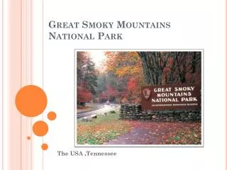
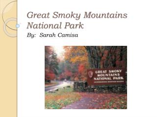
Great Smoky Mountains National Park. An Earth Scientist’s Paradise. By: Evan Gilman. Location of the Smokies. Great Smoky Mountains. Great Smoky Mountains National Park Map. How the Smokies Became a National Park.

E N D
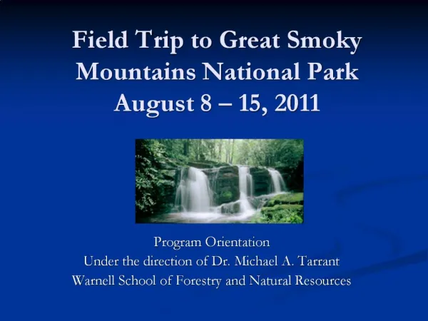
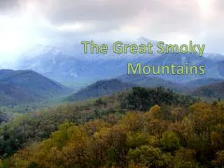
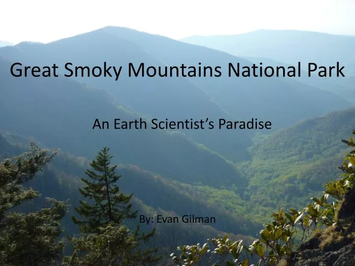
Great Smoky Mountains National Park An Earth Scientist’s Paradise By: Evan Gilman
Location of the Smokies Great Smoky Mountains
How the Smokies Became a National Park • In 1904 a librarian named Horace Kephart came to the Smokies. He found widespread logging was destroying the land and disrupting the lives of the people living there. He promoted preserving the Smokies as a national park. In the 1920s, wealthy Knoxville residents made an organization to help make the Smokies a national park. • The National Park Service, which was founded in 1916, wanted to establish parks in the Eastern US, where most of the population was. With the help of private groups, they picked the Smokies. • The states of Tennessee and North Carolina, and many citizens donated money to purchase parkland. The biggest donation of $5 million dollars came from John D. Rockefeller Jr. • Lumber companies and private citizens were paid for their land and Great Smoky Mountains National Park was officially established June 15th, 1934. Smokies Logging Park Dedication Horace Kephart John D. Rockefeller Jr.
How the Park was Formed • About 750 million years ago an ancient sea flooded what is now the Eastern US. Over millions of years several thousands of feet of soil, silt, sand, and gravel deposited into the sea and compressed into rock. About 300 million years ago limestone sediment from fossilized marine animals and shells was also added. • About 270 million years ago the African and North American tectonic plates (large sections of the earth’s lithosphere) collided. The older lower layer of rock tilted upward and slid over the younger limestone, creating the Appalachian Mountains. • At first the Appalachians were tall and jagged like the Rocky Mountains. Since then, freezing and thawing during the ice ages and constant erosion from water has shaped the mountains into what they are today. The Appalachian Mountains extend from Alabama all the way to Newfoundland. Great Smoky Mountains National Park is in the Southern Appalachians.
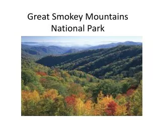
Landforms • There are many interesting landforms in Great Smoky Mountains National Park, including Mountain Peaks, Rock Formations, Balds and Waterfalls. There are 17 peaks over 6000', 8 balds, 6 arches, and more than 90 waterfalls! Chimney Tops Peak Aerial Photo of Gregory Bald Anchor Arch Soco Falls
Geology Three Types of Rocks Make up the Park • The oldest rocks are those of the Precambrian basement complex. These rocks are over 1 billion years old and are composed of gneiss, schist, (metamorphic rocks) and some granite (igneous rocks). They are called basement rocks because they form the foundation under the mountains. These rocks are only exposed in the southern and eastern portions of the park (North Carolina side). • The most common rocks found throughout the park are metamorphosed sedimentary rocks of late Precambrian age. These rocks make up what is called the Ocoee Supergroup and are from 1 billion to 500 million years old. The rocks of the supergroup include phyllites,schists,quartzite,slates,shales,sandstones,andmetasiltstones. The supergroup is divided into three groups: the Snowbird, Great Smoky, and Walden Creek. • The last types of rocks found in the park are the sedimentary rocks that range from 500 to 300 million years old (Paleozoic Era). These rocks are mostly limestones, dolostones, shales, and sandstones. Exposure of these rocks is limited in the park, and can only be seen through "windows" through the older bedrock at higher elevations. These are called coves and are areas where weathering has cut through the older Precambrian rock to expose the Paleozoic rocks located beneath the Great Smoky thrust fault.
Going Forward Continually Changing Landscape • Water continues to sculpt the land in the Smokies, both slowly through erosion and sometimes quickly, such as when landslides are caused by severe rain. An example of this occurred in 1951 when the large V-slash was created on Mt. LeConte. Environmental Concerns Air Pollution • Air pollution is shrinking scenic views, damaging plants, and degrading high elevation streams and soils in the Great Smoky Mountains. Even human health is at risk. Most pollution originates outside the park and is created by power plants, industry, and automobiles. Non-Native Species • Insect pests such as the hemlock wooly adelgid and the balsam woolly adelgid are wiping out the park’s hemlock and Fraser fir trees. These trees play an important role in the ecosystem and many species are affected by their demise. • Wild hogs cause lots of damage by eating almost anything and tearing up the landscape. • There are over 380 species of non-native plants in the Smokies which can out compete native plants, changing the ecosystem forever.
Going Forward Technology used to Preserve and Maintain the Park • The Clean Air Act of 1999 set a goal to restore pristine air in the Smokies within 60 years by applying the Best Available Retrofit Technology (BART) to all pollutant-emitting facilities such as coal burning power plants. Installation of new pollution filters for some of these facilities has begun. • Development around the park is diminishing the night sky views. Artificial light sources can impair dark night skies for up to 100 miles. Cameras are being used to record backround brightness levels and then individual photos are joined together to show a panorama of sky brightness at a given site. This data will help park managers work with neighboring communities to address the issue. • Vehicle and airline traffic interfere with the natural sounds of the wildlands, affecting the visitor experience and park species. Microphones are used to record the natural and man made sounds over a time period and then this data is used in the effort to provide solutions to the noise problem.
Bibliography • 1930s, The. "History of Great Smoky | Smoky Mountains | Oh, Ranger!" Your Complete Guide to the Parks | Oh, Ranger! Web. 04 June 2010. <http://www.ohranger.com/smoky-mountains/history-great-smoky>. • Graham, Amy. Great Smoky Mountains National Park. Berkeley Heights: Enslow, 2009. Print. • "Great Smoky Mountain Visitors Guide - Geology." Smoky Mountains Visitors Guide. Web. 04 June 2010. <http://www.smokymountainsvisitorsguide.com/geology.htm>. • "Great Smoky Mountains National Park - Environmental Factors (U.S. National Park Service)." U.S. National Park Service - Experience Your America. Web. 03 June 2010. <http://www.nps.gov/grsm/naturescience/environmentalfactors.htm>. • "GSMNP Landforms." Department of Computer Science, The University of Tennessee at Knoxville. Web. 04 June 2010. <http://www.cs.utk.edu/~dunigan/gsmnp/>. • Southworth, Scott, Art Schultz, Danielle Denenny, and James Triplett. "Surficial Geologic Map of the Great Smoky Mountains." U.S. Geological Survey Open-File Report 03-381 (2003). USGS Science for a Changing World. Web. <http://pubs.usgs.gov/of/2003/of03-381/of03-381.pdf>.