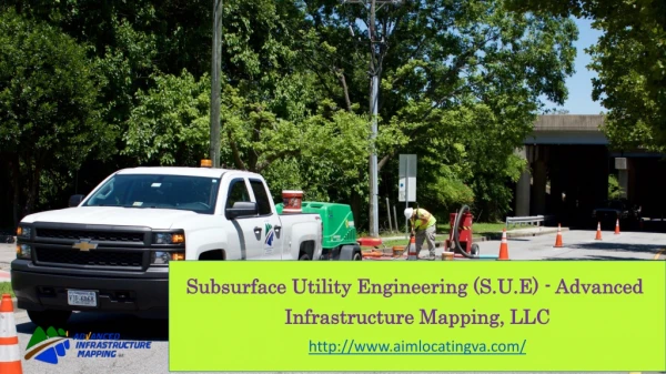
Subsurface Utility Engineering (S.U.E) - Advanced Infrastructure Mapping, LLC
80 likes | 130 Views
Subsurface Utility Engineering (SUE) is a proven solution to identifying existing subsurface utilities on roadway projects. By identifying existing utility conflicts early in the design life of a project, the engineer may be able to mitigate or eliminate utility impacts.

Subsurface Utility Engineering (S.U.E) - Advanced Infrastructure Mapping, LLC
E N D
Presentation Transcript
Subsurface Utility Engineering (S.U.E) Subsurface Utility Engineering (S.U.E) - - Advanced Infrastructure Mapping, LLC Infrastructure Mapping, LLC Advanced http://www.aimlocatingva.com/
The Solution The Solution – – Subsurface Utility Engineering Subsurface Utility Engineering ➢ Subsurface Utility Engineering (SUE) is a proven solution to identifying existing subsurface utilities on Construction of buildings & road projects. By identifying existing utility conflicts early in the design life of a project, the engineer may be able to mitigate or eliminate utility impacts.
➢ It is important for the roadway design engineer should become familiar with the ASCE standard and the SUE quality levels, so he can walk into a project scoping meeting with the clients and accurately recommend the need for SUE and the level of the investigation needed.
SUE data is collected in what is known as “quality levels” that vary by the level of detail and accuracy provided.
Quality Quality Level Level D D (QL (QL “D”) “D”) Quality Level C (QL “C”) Quality Level C (QL “C”) QL “D” SUE is the lowest level of accuracy and is This level of accuracy is recommended for rural, FM roadway recommended for use during the planning or schematic projects with low utility congestion, few utility crossings, and design phase of the roadway project, but is not few roadway intersections. recommended for use during detailed PS&E design.
Quality Quality Level Level B B (QL (QL “B”) “B”) Quality Quality Level Level A A (QL (QL “A”) “A”) This level of accuracy is recommended for more complex This level of accuracy is recommended for the test roadway projects in urban and suburban environments, holes be performed at precise utility conflict locations, where utility congestion is high, along with the potential risk based on a detailed conflict analysis with roadway of utility conflicts. improvements.
Contact Us Contact Us Call us at: 757-785-5177 Mail us at: info@aimlocatingva.com Visit us at: http://www.aimlocatingva.com/