Download
1 / 15
150 likes | 264 Views
Explore the importance of detailed travel time data for transportation modeling. Learn how data sources like GPS vendor data are improving traffic analysis and model validation, with examples from Ohio DOT. Discover the impact of new speed data collection methods on congestion modeling and service levels.

E N D
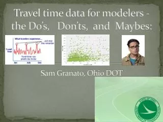
Travel time data for modelers - the Do’s, Don’ts, and Maybes:Sam Granato, Ohio DOT
Why do we need data like this? • Because our customers don’t care about volume to “capacity” ratios, instead they want to know:
In the beginning – floating car surveys and spot speed sensors • CMS / CMAQ project effectiveness • Used for MPO travel model validation since 1990’s to better model congestion & Level of Service • Statewide, developed for “speed table” by type of road – both average and running speeds (to start up some “junction-based” model networks in Ohio)
Then, the same but more (and more things to use them for) • “high sample size” floating car (arterials in Parkersburg/Marietta and freeways in Cleveland) • Can use to measure variability in travel time as well as more confident average, and how the variability changes as function of distance/# segments (i.e. from link-level to travel-path level
New Sources of Speed Data • “Archive” data from vehicle fleets & cell probes • Extensive road network coverage, could replace or reduce/redeploy need for “floating car” surveys
GPS Data availability : • About 33,000 directional miles of TMC roadway statewide (including five miles into adjacent states)
Quality checks for any “biases”: First, compare to ATR sites (mostly rural freeways): • Differences exists in how these are measured (spot vs space mean speeds) • Statewide, average speeds higher on the ATR’s (about 7%) • Check for vehicle class based on WIM station locations on I-70 (Licking county) and I-77 (Noble county).
Quality checks for any “biases”: Second, compare to statewide floating car surveys • Differences exist in route segmentation • Very small sample sizes in the floating car surveys • Overall, in close agreement statewide on average speeds including by time of day
GPS data (vs floating car)– uses & limitations • Far higher sample sizes, more versatility on hour of day / day of week / season of year • Good for overall speed validation of model on average values, not necessarily for variability/reliability • Depending on level of access, might not have ability to see the impact of distance on reliability / journey time • “Buffer index” measures found to measure system-level, not user-level reliability
Local sample speed data provided us both (expected) sample sizes by corridor/HOD AND percentile values
Sample finding #1: V/C ratio does not predict congestion (and LOS) very well
Sample finding #1-A: Speed does not vary that much by time of day • Volume offset by driver and vehicle characteristics • Signal timing, parking management
Sample finding #2: Curves and Railroad crossings don’t seem to slow us down that much
Questions? • Sam.granato@dot.state.oh.us • 614-644-6796