Download
1 / 19
190 likes | 286 Views
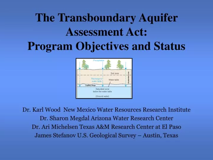
The Transboundary Aquifer Assessment Act: Program Objectives and Status. Dr. Karl Wood New Mexico Water Resources Research Institute Dr. Sharon Megdal Arizona Water Research Center Dr. Ari Michelsen Texas A&M Research Center at El Paso James Stefanov U.S. Geological Survey – Austin, Texas.

E N D
The Transboundary Aquifer Assessment Act: Program Objectives and Status Dr. Karl Wood New Mexico Water Resources Research Institute Dr. Sharon Megdal Arizona Water Research Center Dr. Ari Michelsen Texas A&M Research Center at El Paso James Stefanov U.S. Geological Survey – Austin, Texas
Problems? • Human population growth along US-Mexico border is among the highest nationally • Average per capita income is far below the U.S. average • Economic develop is restricted by lack of adequate water • Availability of water is a key issue in the U.S. – Mexico border region • Groundwater is used for all the drinking water in southern New Mexico, all of Juarez, and half of the El Paso area • Groundwater is probably the only source of new water as the drought continues and new desalting technology develops
Many questions concerning the aquifers remain: • How extensive are the aquifers? • How deep are the aquifers? • How thick are the aquifers? • Which directions are the aquifers flowing? • What is the quality of the aquifers at various depths? • How fast are they declining in supply and quality? • What is the long-term availability? • What is the relationship between surface supplies • and aquifer recharge?
border Water Resources in the New Mexico Border Region
Mined basin with water-level drawdowns exceeding 250 feet • Sole source of water for Ciudad Juarez • Major source of water for El Paso • Quality generally <1,000 mg/L TDS, but deteriorating • Very little natural recharge • Extensive modeling in El Paso/Ciudad Juarez area • Artificial recharge program by El Paso • Water Use 2000: • El Paso = 126,420 acre-feet • Ciudad Juarez = 124,000 acre-feet • Distrito de Riego 009 = 57,000 acre-feet Hueco Bolson
Mesilla Basin • Largest rechargeable reservoir in region • Southern boundary in Mexico poorly defined • Connected with overlying semi- confined alluvium aquifer • Quality <1,000 mg/L TDS • Use: Domestic & Supplemental to Rio Grande for Irrigation • Quantity pumped = ? • Quantity in storage = ~60 million af - ? • Number of modeling efforts, none bi- national
The Act • Conceived by Senator Jeff Bingaman of New Mexico from U.S. Senate field hearing in Las Cruces August 14, 2001 • Authorization bill written by Senator Bingaman’s staff • Sponsored by Senator Bingaman of New Mexico and Co-Sponsored by Senator Domenici of New Mexico and Senator Kyl of Arizona • Supported by other Senators from Arizona and Texas • Passed U.S. Senate in 2005
The Act continued • Sponsored in U.S. House by Congressman Kolbe of Arizona and co-sponsored by Congressmen Grijalva of Arizona and Reyes of Texas in 2006 • Supported by Congressmen from Arizona, New Mexico, and Texas • Not supported by Congressmen from California • Passed Congress in December 2006 • Signed by President in December 2006
The Act - Objectives • Collect new and existing data • Improve existing and develop new computer models to: • Characterize transboundary aquifers for: • Horizontal extents • Depth to aquifers • Thickness of aquifers • Anomalies of aquifers • Water qualities of aquifers including salinity, nutrients, toxics, and pathogens • Movement of water in aquifers • Assess interaction with surface waters • Sources and amounts of depletion of aquifers • Develop high-quality, comprehensive, binational groundwater quantity and quality data bases • Develop hydrogeologic maps of both surficial and bedrock deposits • Apply the new data and models to evaluate strategies to protect water quality and enhance supplies.
The Act – Some Bumps • International Boundary and Water Commission’s (IBWC) Commissioner supported the Act to gain information to write a groundwater treaty with Mexico • State Engineers in Arizona, New Mexico, and Texas opposed the bill because groundwater in U.S. belongs to the states and not to the federal government • IBWC backed off of treaty ambitions • State Engineers eventually supported the bill • California’s congressmen felt the information could complicate issues surrounding the All-American Canal
The Act continued • Bill was authorized for $5 million per year for 10 years • Appropriation now needed • Budget for 2007 is a continuing resolution • Budget request for 2008 is $2 million for startup
Who Gets The Money? • 50% to the Arizona, New Mexico, and Texas Water Resources Research Institutes to provide funding to appropriate entities including: • Universities • State agencies • The Tri-Regional Planning Group • Sandia National Laboratory • Other relevant organizations and entities in Mexico • 50% to the U.S. Geological Survey to work in partnership with the above organizations
Priority Aquifers • Hueco Bolson – Texas, New Mexico, & Chihuahua • Mesilla Bolson - Texas, New Mexico, & Chihuahua • Santa Cruz River Valley – Arizona & Sonora • San Pedro Aquifer – Arizona & Sonora • Additional aquifers to be added i.e Mimbres, etc.
Programs Already Started • Development of a bibliography in English and Spanish • Determining existing data sources, extent, & form • Developing a relationship Mexico’s new Office of Transboundary Basins established in the National Water Commission • Updating colleagues in: • International Boundary & Water Commission • U.S. Division • Mexico Division (CILA) • University of Ciudad Juarez • Juarez campus of Monterrey Tech • El Colegio de la Frontera Norte (COLEF)