Download
1 / 7
70 likes | 254 Views
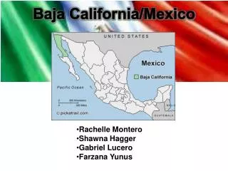
The California-Baja California Border Region, a Landsat Perspective of Water Bodies. Alejandro Hinojosa, Lourdes Mexicano and Bertha Serrato alhinc@cicese.mx www.cicese.mx. UCSD San Diego CA. March 5 th 2009. Similarities Climate Geolog y Shared Watersheds. Ca-BC Region. Population

E N D
The California-Baja California Border Region, a Landsat Perspective of Water Bodies. Alejandro Hinojosa, Lourdes Mexicano and Bertha Serrato alhinc@cicese.mx www.cicese.mx UCSD San Diego CA. March 5th 2009
Similarities • Climate • Geology • Shared Watersheds Ca-BC Region • Population • 3.1 MCalifornia • 2.7 MB. California
Morena lake CA area estimates in Ha from 5/1 2000 2006 1984 1990 98 ha 343 ha 188 ha 580 ha
Water Bodies Area reportfor images in analysis period M B EC AR
Water Bodies concentrate forthe California-Baja California Region Ratio CA/BC of 13 in Area and 5 in number of WB
EndAcknowledgments: Mexico’s National Science Foundation CONACyT andUniversity of California UCMEXUS