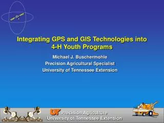
Integrating GPS and GIS Technologies into 4-H Youth Programs
Integrating GPS and GIS Technologies into 4-H Youth Programs. Michael J. Buschermohle Precision Agricultural Specialist University of Tennessee Extension. Overview. What is Global Positioning System (GPS) How GPS works Types of GPS receivers What is a Geographic Information System (GIS)

Integrating GPS and GIS Technologies into 4-H Youth Programs
E N D
Presentation Transcript
Integrating GPS and GIS Technologies into 4-H Youth Programs Michael J. Buschermohle Precision Agricultural Specialist University of Tennessee Extension
Overview • What is Global Positioning System (GPS) • How GPS works • Types of GPS receivers • What is a Geographic Information System (GIS) • Integrating GPS and GIS into 4-H programs
What is GPS GPS is a navigational system that can accurately locate your position anytime, anywhere, and regardless of weather on Earth • Satellite-based navigation systems made up of a network of 24 satellites placed into orbit by the U.S. Department of Defense • Satellites orbit the earth at an altitude of about 12,500 miles • Radio signals from the satellites can be used to determine accurate georeferenced position information
Satellite Signal Satellites broadcast several pieces of information • Emphemeris (Orbital) data • Timing data
How Does GPS Work Speed of light = 186,000 mi/sec
Sources of GPS Error • Clock Errors • Atmospheric Interference • Ephemeris (Orbital) Variation • Satellite Configuration • Signal Multipath
Sources of GPS Error Clock Errors Let’s put some numbers on it Altitude = 12,500 mi. Speed of light = 186,000 mi/sec Transmission Time = 0.067 sec What happens if we are off a little? 0.001 sec * 186,000 mi/sec = 186 mi
Sources of GPS Error Atmospheric Interference
Sources of GPS Error Ephemeris (Orbital) Variation
Sources of GPS Error Satellite Configuration Good (low) DOP Poor (high) DOP Measure of the geometrical strength of the GPS satellite configuration
Sources of GPS Error Signal Multipath
Counteracting GPS Errors • Land-Based Differential Correction • Satellite-Based Differential Correction • User Base Station RTK Correction
) ) ) ) ) ) ) Counteracting GPS Errors Land-Based Differential GPS Correction Coast Guard Beacon Differential Correction Codes
Counteracting GPS Errors Satellite-Based Differential GPS Correction Differential Correction Codes WAAS Omnistar Deere
) ) ) ) ) ) ) Counteracting GPS Errors Kinematic Differential GPS Correction Operator’s Base Station Differential Correction Codes
Basic Navigation Information Supplied by GPS Receivers • Your current position • Coordinates (Latitude and Longitude, UTM, etc.) • Elevation • Direction to specified waypoints • Distance to specified waypoints • Your speed of travel • Your direction of travel
Geographic Information Systems (GIS) GIS is a collection of computer hardware, software, and geographic data for capturing, managing, analyzing, and displaying all forms of geographically referenced information.
GIS Maps are Based on Layers Rivers Capitals Roads States Lakes
Integrating GPS and GIS Technologies into 4-H Youth Programs • What Type of GPS receiver should you buy? What is your application?
GPS Applications • Teaching users about GPS receivers • Hiking • Geocaching • Nature Study • Hunting • Fishing • Boating • Biking • Skiing • Golf
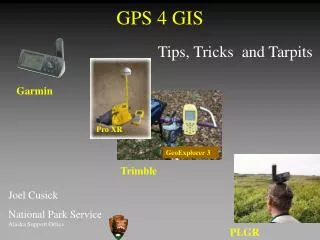
Low Cost (Handheld) GPS Receivers Cost $100 – $400 Features Internal Memory 8 – 30 M SC Card Expandability Mapping Software Compatibility
Mapping Software Cost $100 - 150 Compatibility depends on the unit
GPS Applications • Collecting geo-referenced data • GIS Mapping
Pocket PCs Running Windows CE $600 $400 HP IPAQ
Integrating GPS and GIS Technologies into 4-H Youth Programs What GIS software should you buy?
GIS Software • ESRI • ArcMap • ArcPad for Windows CE • Farm Works • Map Shots • JD Office • Easy Suite
On-Line Training Course“Learning How to Use ArcPad 7.0” Learning Module 1: Moving Data to and From Your PDA Learning Module 2: Getting to Know ArcPad Learning Module 3: Displaying Data Learning Module 4: Creating Features Learning Module 5: Using Your GPS Receiver Learning Module 6: Capturing Features Using Your GPS Receiver Learning Module 7: Making Your Map Look Pretty Learning Module 8: Retrieving Information from Your Map
Some GPS Applications for Youth Geocaching
Some GPS Applications for Youth Collecting and Mapping Geo-referenced data in Your Community