Download
1 / 3
30 likes | 52 Views
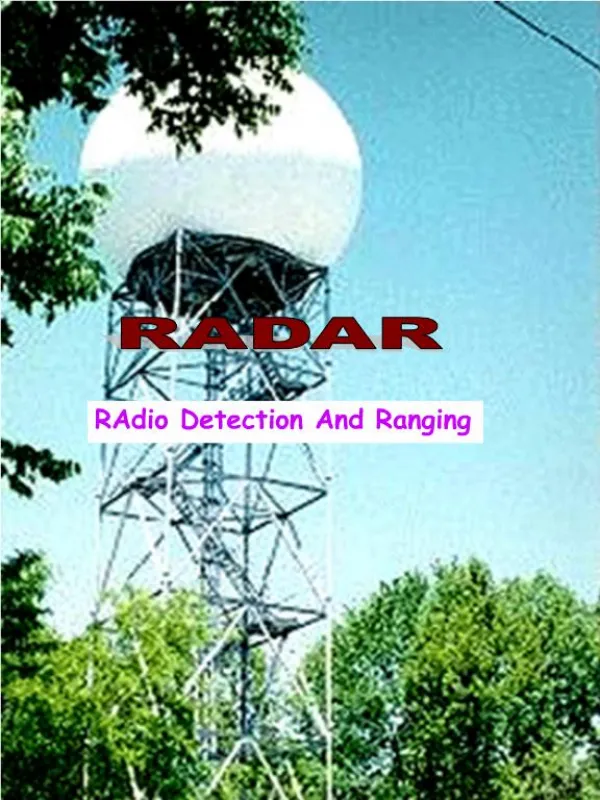
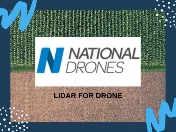
Light detection and ranging or LiDAR is an established technology which measures distances through pulsed laser technology - https://nationaldrones.com.au/drone-services/inspections/lidar/

E N D
LiDAR Click to Edit Sub Title
Light detection and ranging or LiDAR is an established technology which measures distances through pulsed laser technology. We incorporate this technology with our drone hardware for drawing accurate 2D maps and building 3D models to scale. LiDAR has the ability to provide a dense cloud of millions of 3D points per second. Each point combines to create a rich 3D model of the target object or area. Through the use of Inertial Measurement Unit (IMU) and GNSS receivers, each measurement or data point can be georeferenced. https://nationaldrones.com.au/drone- services/inspections/lidar/
LiDAR surveys use light detection and ranging to measure distances to objects, and create a digital environment of the scanned area. With point densities which can exceed many hundreds of points per meter, our in house designed and built Tyto scanner is the perfect, cost effective companion to scan your assets and create point clouds to interact with. More: https://bit.ly/36WuWu9