Download
1 / 23
230 likes | 423 Views
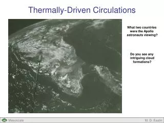
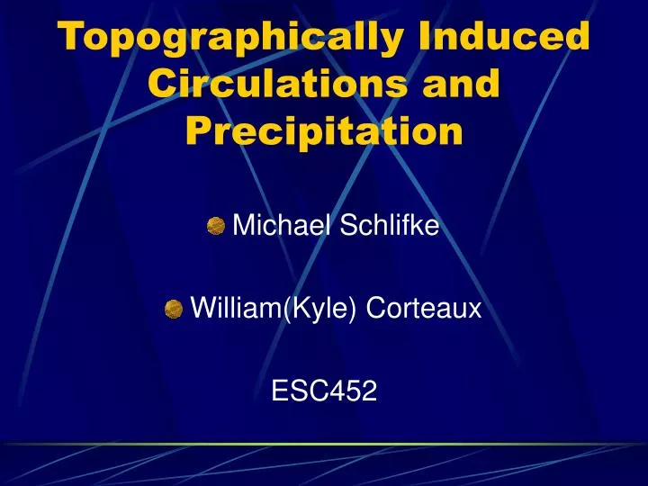
Topographically Induced Circulations and Precipitation. Michael Schlifke William(Kyle) Corteaux ESC452. Overview . Topographic lifting/upflow Downslope flow Gap Winds Lee troughs Cold air damming Convergence zones Thermal Contrasts Questions/comments . Topographic Lifting.

E N D
Topographically Induced Circulations and Precipitation • Michael Schlifke • William(Kyle) Corteaux ESC452
Overview • Topographic lifting/upflow • Downslope flow • Gap Winds • Lee troughs • Cold air damming • Convergence zones • Thermal Contrasts • Questions/comments
Topographic Lifting • When this type of lifting occurs the land forces the air to move to a higher elevation. • Air is forced up and over a topographical barrier such as a hill or mountain. • The windward side will be cloudy and wet as air ascends • The leeward side will be warmer and drier as the air descends • Other terms that mean the same as topographic lifting are orographic lifting, upslope flow, and forced land lifting.
Topographic lift(continued) • Air blowing against a range of hills or mountains is forced upward, reaches a region of lower pressure, expands and cools. Condensation will occur when the dewpoint is reached. The type of cloud formed will depend on the moisture content and on the stability of the air. The slope and height of the terrain and the strength of the wind component that produces the upslope flow also have an effect.
Topographic lifting(continued) • Examples of where this type of lifting occurs are of the west side of the Cascades and Sierra Nevada range in the western U.S. • places on the sea-facing side of these coastal mountains see over 100 inches of precipitation per year. • This phenomenon is also seen on the Tug-Hill Plateau. • Located just east of Lake Ontario • Elevation changes from ~350 feet on the west side to over 2000 feet on the east side.
Tug-Hill Plateau(Con’t) • This change in elevation allows for enhanced lifting and instability, especially during lake effect snow events • The town of Montague located on Tug Hill owns the single day New York State record of snowfall with 78 inches • Hooker, another town on Tug Hill, received an extraordinary accumulation of snow in the winter of 1976-77, with a total accumulation of 466.9 inches • Annual snowfall increase by 8-12 inches per 100 foot increase in elevation.
Tug-Hill Plateau • This diagram shows the added enhancement as the Tug-Hill Plateau averages over 200 inches of snow annually.
Downslope Flow • Air that descends an elevated plain and consequently warms and dries. Occurs when prevailing winds are from the same direction as the elevated terrain • Often produces fair weather conditions • As the air flows down the mountains, it warms at the rate of about 5.5 degrees Fahrenheit per 1,000 feet of descent. Also produces very dry conditions.
Downslope flow(con’t) • This phenomenon occurs frequently off the Rocky Mountains. The warm, dry winds blowing down the mountains often quickly evaporate snow on the ground, which is why local forecasters refer to down slope winds off the Rockies as "Chinook" winds, which literally means snow eater.
Chinook Winds • Chinook winds have been observed to elevate midwestern winter temperatures, often from below −20°C (−4°F) to as high as 10°C to 20°C (50°F to 68°F), for a few hours or days, at the end of which, the temperatures plummet to their base levels. • One of the most dramatic examples of the chinook winds occurred on January 15, 1972, in Loma, Montana. The temperature rose from −47°C (−54°F) to 9°C (49°F); the greatest temperature change ever recorded during a 24-hour period. • Winds speeds also increase dramatically as well as the warm dry air accelerates down the mountain. Speeds of 40-60 mph can be found in extreme cases.
Gap Winds • Occur when winds push through the terrain in spots, rather than going over it • The terrain steers the wind flow to more or less follow the gap axis and thus increases its speed • Typically, the stronger the pressure gradient and narrower the gap, the stronger the resulting wind speed. • Stronger at exit region
Gap Winds(Con’t) • Gap winds typically blow over shallow depths of several hundred to a few thousand feet deep • can reach velocities of over 50 knots near the surface • particularly hazardous to boaters along the coastlines or among islands, and to motorists winding through rugged mountain terrain • Venturi Effect-The speedup of air through a constriction due to the pressure rise on the upwind side and the pressure drop on the downwind side as the air diverges to leave the constriction. (example: nozzle of hose)
Lee-Side Troughs • A pressure trough forms on the lee side of a mountain range in situations where the wind is blowing with a substantial component across the mountain range • Caused by the stretching of a column of air as it descends on the lee-ward side of highly elevated terrain such as the Rocky Mountains. This stretching causes a spin-up of vorticity and a resulting upper level divergence • often seen east of the Rocky Mountains • The presence of a lee-side trough can lead to the initiation of cyclogenesis.
Cold Air Damming • Cold air damming occurs when a shallow cold air mass is funneled across the earth's surface due to topography. • Cold air being pushed southwards by a high pressure system cannot press pass the Appalachian Mountains. Therefore funnels southward (see diagram) • Often linked to heavy snow and wintry precipitation in areas such as Virginia, and North Carolina.
Convergence Zones • Caused by winds circulating around mountains and converging on the other side • Puget Sound ( Northwest U.S) • The Puget Sound Convergence Zone (PSCZ) works best when there is a northwest flow after the passage of a storm system
Convergence Zones (Con’t) • Those northwest winds will collide with the Olympic Mountains. Part of the air flow will be deflected east while the other part will be deflected down the western side of the Olympics. • Each branch of the wind will collide with the Cascades and be diverted towards the other (convergence) • Convergence => rising motion=>convection/storm development
Froude Number (Fr) • Used to describe the flow pattern over an obstacle • Air flow over a mountain range • Fr = (U/(gH)^1/2) • U = representative speed(wind in this case) • g = gravity • H = height (mountain height in this case) • If Fr<<1,when the airflow is slow,the air will flow around the mountain, not over. • If Fr>>1, the air flows over the mountain • Topographic lift/precipitation.
Thermal Contrasts • Thermal contrasts caused by differential heating can also cause topographic circulations. • Sea/lake breezes • Lifting mechanism • Can lead to deep moist convection. • Dry(warm) soil vs. moist(cool) soil • Boundary=>circulation=>=LL convergence=>Upward vertical motion.
References • http://www.suite101.com/article.cfm/13646/107207 • http://www.theweatherprediction.com/habyhints/335/ • http://www.komotv.com/weather/faq/convergence_zone.asp • http://www.theweatherprediction.com/habyhints/129/ • http://en.wikipedia.org/wiki/Froude_number