Efficient Drone Land Surveying Solutions at Map Drone Solutions
0 likes | 44 Views
Using advanced drone technology, we offer unparalleled accuracy and speed, revolutionizing land surveys. Explore our cutting-edge map drone solutions tailored for precise and efficient drone land surveying. We ensure comprehensive coverage, detailed data collection, and rapid analysis through drone technology, empowering industries from construction to agriculture. Our drone solutions are the future of land surveying.<br><br>Visit: https://mapdronesolutions.com/drone-property-survey/ <br>

Efficient Drone Land Surveying Solutions at Map Drone Solutions
E N D
Presentation Transcript
DRONE LAND SURVEYING BY MAP DRONE SOLUTIONS
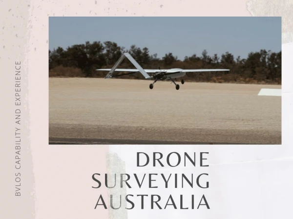
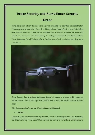
INTRODUCTION TO DRONE MAPPING SOLUTIONS Drone technology has revolutionized various industries, including mapping and surveying. These unmanned aerial vehicles offer efficient, accurate, and cost- effective solutions for mapping vast terrains and gathering geospatial data.
ADVANTAGES OF DRONE LAND SURVEYING Drone land surveying presents numerous advantages over traditional methods. It allows for rapid data collection, enabling surveyors to cover large areas in a fraction of the time compared to ground-based surveys. Moreover, drones can access remote or inaccessible areas, making them ideal for challenging terrain.
ENHANCED DATA ACCURACY AND PRECISION With advancements in drone technology, surveyors can achieve exceptional levels of data accuracy and precision. High-resolution cameras and LiDAR sensors mounted on drones capture detailed imagery and elevation data, facilitating precise mapping and analysis.
COST AND TIME EFFICIENCY Drone mapping solutions offer significant cost and time savings compared to conventional surveying methods. By automating data collection and processing, drones reduce the need for manpower and equipment, resulting in streamlined workflows and reduced project timelines.
APPLICATIONS AND USE CASES Drone mapping solutions find applications across various industries, including agriculture, construction, environmental monitoring, and urban planning. From monitoring crop health and assessing construction sites to mapping natural disasters and planning infrastructure projects, the versatility of drones makes them indispensable tools for modern mapping solutions.
Contact Us 1625 Conley Rd #166 Conley, Ga 30288 mapdronesolutions@gmail.com 404-680-6792 mapdronesolutions.com