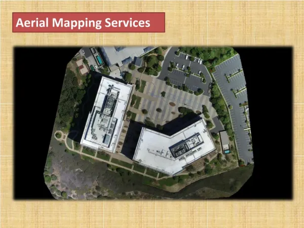
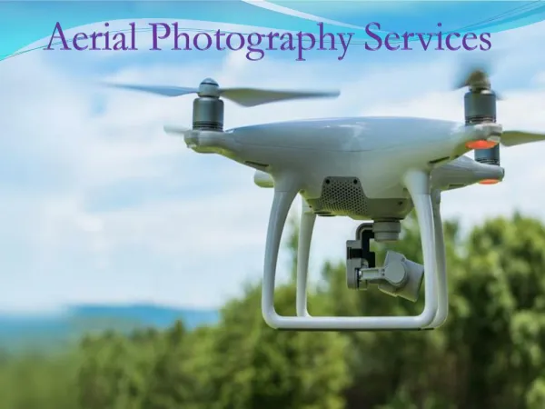
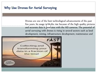
Aerial Surveying Services
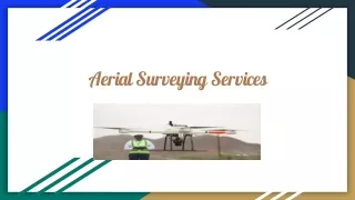
We offer Aerial surveying services for mapping deposit sites, corridor mapping, creating accurate 2D/3D maps/models, etc.<br><br>https://gulftestinglab.com/project/aerial-survey/

Aerial Surveying Services
E N D
Presentation Transcript
Introduction: ● We have extensive experience and a proven track record of providing professional surveying services in Oman for public and private-sector clients.
Our Aerial Surveying Services includes ● ● ● ● ● ● ● ● ● Mine Topography High resolution ortho-imagery Digital elevation models (DEM) point clouds Monitoring stockpile Volumes Open Pit Cut / Fill Quantity Survey Mapping Deposit sites Corridor mapping Create accurate 2D and 3D data, maps, and models Precisely map roads, canals, pipelines, and other linear infrastructure in one line of flight with no ground control points.