Download
1 / 10
131 likes | 353 Views
A brief explanation of geospatial technology and its components, such as GIS, GPS and remote sending. Know the importance of GIS, GPS and remote sensing for you to know the field better.

E N D
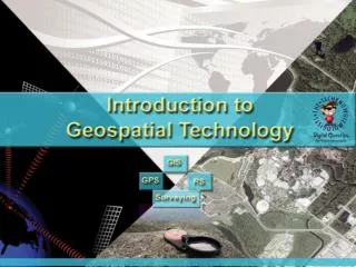
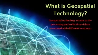
What is Geospatial Technology? Geospatial technology relates to the processing and collection of data associated with different locations.
GLOBAL POSITIONING SYSTEM (GPS) GEOGRAPHIC INFORMATION SYSTEM (GIS) REMOTE SENSING COMPONENTS O GEOSPATIAL TECHNOLOGY
Global Positioning System (GPS): Add a headingIt is a satellite-based geolocation system that works worldwide and can be accessed through different GPS units.
REMOTE SENSING: It is the acquisition of information and images from a distance.
Geographic Information System (GIS) It is the information systems that allow organization, creation and representation of data in a spatial form. It also includes production of charts and maps.
Importance of GPS • Tracks a location point related to all observations • Allows data management • Allows people to verify results • Allows investigators to visit a site again with a purpose of long-term research
Importance of remote sensing • Allows collection of data remotely • Stores information digitally and transmitted electronically • Involves information visible to human eye • Completely geo-referenced • Perfect for analyzing human scale phenomena • Effective for regional phenomena • Displays images in different colors • Less expensive
Importance of GIS • Unveils spatial patterns • Explains the confirmation of various observations • Incorporates various kinds of geospatial data
Conclusion Geospatial technology deals in the collection and processing of data related to different geographic locations. It includes three important components such as GPS, GIS and Remote Sensing.
Want More! Visit: www.geospatialawarenesshub.com or call us at 72767 76709