Download

1 / 2
20 likes | 36 Views
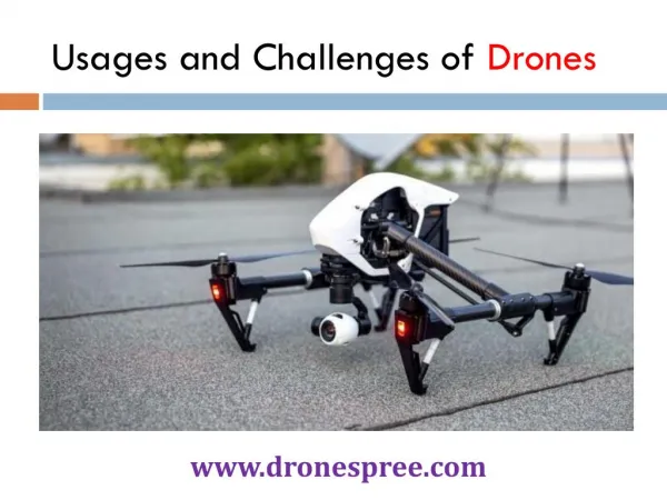
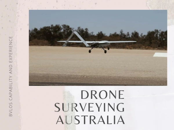
A diverse range of industries is using drone surveying and mapping to gather data on a geographical terrain faster from hard-to-reach or hazardous areas.

E N D
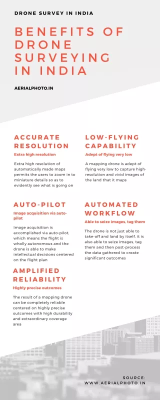
Welcome into the Drone Era: Perks of Using Drones for Surveying and Mapping Unnamed Aerial Vehicles (UAVs) or drones are reshaping how surveys and mapping operate. A diverse range of industries is using drone surveying and mapping to gather data on a geographical terrain faster from hard-to-reach or hazardous areas. Drones are replacing conventional mapping methods like satellite mapping and airplane mapping because they are cost-effective, compact, and precise. 3D Drone visualization is increasingly finding applications in large-scale photogrammetry, 3D mapping, land surveys, archaeology, and mining. Why drones? Well, as compared to other monitoring systems, drones can capture aerial data using downward-facing sensors that facilitate surveying the terrain from different angles. Later, the images can also be tagged with photogrammetry and coordinates to combine images into 2D and 3D maps. Unlike traditional aerial surveillance devices, drones can fly low to capture high- resolution images with accuracy. They can operate in any weather condition and the best part is there is no human intervention needed. The quality of the atmosphere has no impact on the images. So, drone mapping is an invaluable tool to analyse crucial areas that are hard to reach. Perks of using drone mapping for accurate surveys Although the fundamental reason behind using drones in surveillance is cost-effectiveness, safety, and accuracy, there are other advantages that anyone can leverage by using drones for their survey sessions. Some of them are listed as follows:
Reduced time and cost: Typically aerial surveys that involve manpower take a substantial amount of time. Especially in the case of larger sites, the time can be a huge setback with human intervention. However, drones can do the same job about five times faster saving cost, time, and manpower. Better accuracy: Theoretically and practically, drones can produce thousands of measurements in different formats such as ortho-mosaic, point cloud, contour lines, and DTM. This in turn increases the accuracy and enables the production of exhaustive data for a better understanding of the geography. Compact for reaching hard-to-reach areas: Drones are handy enough to hover and reach every nook and corner of terrain. They can easily access unsafe or steep places that would have been impossible with manned surveys. Eliminating the risk: Areas like construction sites are risk-prone areas that need relentless monitoring. Drones can be used to survey these job sites to identify the regions with hazards such as unsafe placement of equipment, shallow excavations, unstable structures, etc., and eliminate the risk factors to ensure workers’ safety. Volumetric surveys: In addition, drones can also be used to measure and produce the digital surface model. This can be particularly helpful for stockpiles or material extraction pits where ground surveys are needed. Drones as an industry gamechanger Gone are the days when surveillance meant simple cameras in multiple positions to capture different angles of the subject. The definition of imaging has now changed. Along with drone surveying, individuals are also inclining toward architectural laser scanning and 3D laser scanning services to take precisely effortless images of the concerned subject. If you also want to reap the benefits of mapping and surveying drones, ensure to go for the professionals. Drones from Eye-bot can be a remarkable investment. Equipped with cutting- edge technology, their aerial devices can upgrade your imaging sessions to whole new levels.