E-Terra
E-Terra provides GIS services and integrates software & hardware for unmanned aircraft systems & drones to capture, and manage geographic information. For more details: https://e-terra.com

E-Terra
E N D
Presentation Transcript
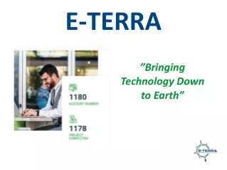
E-TERRA ”Bringing Technology Down to Earth”
We specialize in helping our clients use and understand new data and technologies, saving them time, resources, and revenue.
E-Terra is a team of highly skilled scientific and technical professionals, who deliver leading-edge technology to customers every day.
2D & 3D Graphics and Modeling UAV Operations Laser Scanning GIS / CAD Products and Services LiDAR and Photogrammetry DEM / Imagery Products and Services Remote Asset Monitoring Mobile Application Development Software as a Service Web and Database Development SERVICE WE PROVIDE • - Leading provider of GIS services and integrates software and hardware for unmanned aircraft systems and drones to capture, and manage geographic information.
Industry Segments • A leading provider of GIS software and 3D reality modeling to handle various industries including Government Sectors, Resource Development, Environmental, Legal, Telecom, Energy, Infrastructure, and other industries.
Call: 907.562.1500 Send Email: sales@e-terra.com Visit Office: 800 E. Dimond Blvd. Suite 3-650 Anchorage, AK 99515 Visit Us On:http://e-terra.com/