Download

1 / 4
0 likes | 3 Views
Drone services, particularly real estate drone photography, are revolutionizing real estate development planning by providing high-resolution aerial imagery, accurate land surveys, and 3D mapping. These tools enhance site analysis, improve decision-making, and streamline project visualization. Drones enhance real estate projects by improving efficiency, accuracy, and resource allocation. Read the full blog to know more.

E N D
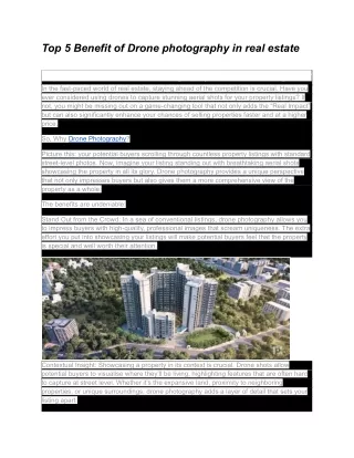
The Impact of Drone Services on Real Estate Development Planning In the fast-paced world of real estate development, precision and efficiency are everything. Whether you're scouting land for a new project, marketing a commercial property, or conducting infrastructure inspections, having the right data at the right time makes all the difference. This is where real estate drone photography is transforming the industry—delivering unparalleled accuracy, cost savings, and visual storytellingthat simply can’t be matched by traditional methods. At Birds Eye Aerial Drones, we provide cutting-edge real estate drone services that help developers, investors, and planners make informed decisions faster, more efficiently, and with higher confidence. From commercial real estate drone photography that brings listings to life to drone aerial inspection services that enhance safety and compliance, drones are reshaping the way real estate projects come to life. How Drones Are Elevating Real Estate Development? 1. Site Selection & Land Feasibility Analysis Choosing the right land for development requires a comprehensive understanding of topography, zoning, and potential challenges—and drones provide that insight faster and more affordably than traditional surveying methods. Fact: Aerial surveys conducted by drones reduce site assessment time by 60% and can cut pre- development costs by up to 30% compared to traditional surveying techniques.
2. High-Impact Marketing & Investor Presentations For commercial real estate, compelling visuals drive sales and investment decisions. Commercial real estate drone photography offers stunning, high-resolution aerial imagery that highlights a property's surroundings, access points, and architectural features. Developers and brokers can use these immersive visuals to showcase properties in a way that resonates with buyers and investors before they even step foot on-site. Fact:Listings with aerial imagery sell 68% faster than those without and attract up to 5x more online engagement (Source: MLS Statistics). 3. Infrastructure & Construction Monitoring Once development is underway, drone aerial inspection services help monitor progress, assess site conditions, and ensure compliance with safety regulations—all in real time. Drones reduce the need for costly manual inspections, allowing developers to detect issues early, prevent project delays, and increase operational efficiency. Fact: Utilizing drones for construction monitoring reduces rework costs by 25% and improves site productivity by up to 50% (Source: McKinsey & Company).
Pro Tips for Maximizing Drone Technology in Real Estate Development ✔Incorporate Aerial Data Early – Use real estate drone services for pre-development analysis to avoid costly land-use mistakes. ✔Enhance Property Marketing –Drone photography services make listings more attractive, leading to faster sales and stronger investor interest. ✔Improve Project Oversight – Work with a drone service company that offers drone aerial inspection services to monitor construction progress and detect potential risks before they become costly setbacks. ✔Ensure Compliance & Safety – Utilize drone technology to assess site conditions remotely, reducing safety hazards for personnel and improving efficiency. Why Birds Eye Aerial Drones? As a leading drone service company, Birds Eye Aerial Drones specializes in providing high-accuracy real estate drone photography, infrastructure inspections, and commercial site analysis. Our drone experts help real estate professionals make smarter, faster decisions while saving time and resources. FAA-Certified Pilots & Compliance Experts High-Resolution Aerial Imaging & 3D Mapping Efficient, Cost-Effective Development Planning Tools Trusted by Commercial Developers, Realtors, & Investors
Whether you’re evaluating a development site, marketing a property, or managing a construction project, drones offer the next level of precision, efficiency, and impact. Ready to integrate drone technology into your real estate development process? Contact Birds Eye Aerial Drones today and take your projects to new heights!