Download
1 / 15
150 likes | 353 Views
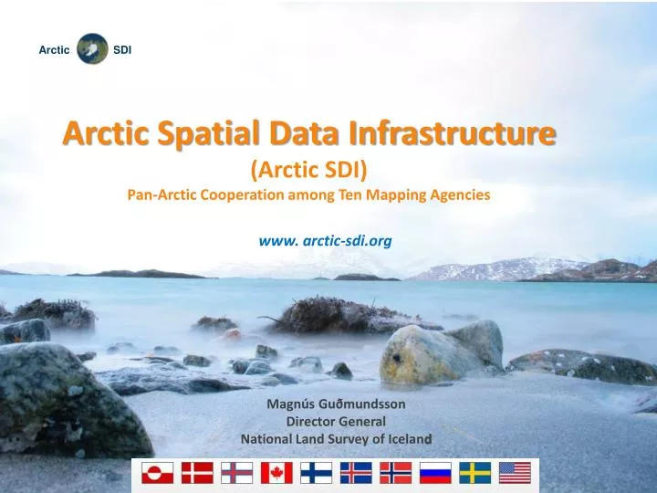
Arctic Spatial Data Infrastructure (Arctic SDI) Pan-Arctic Cooperation among Ten Mapping Agencies www. arctic-sdi.org. Magnús Guðmundsson Director General National Land Survey of Icelan d. The Arctic. 1/6 of the earth’s landmass More than 30 million km 2 24 time zones

E N D
Arctic Spatial Data Infrastructure • (Arctic SDI) • Pan-Arctic Cooperation among Ten Mapping Agencies • www.arctic-sdi.org Magnús Guðmundsson Director General National Land Survey of Iceland
The Arctic • 1/6 of the earth’s landmass • More than 30 million km2 • 24 time zones • Over hundred languages
Why Arctic SDI ? • Wide array of spatial data around the Arctic • Datasets are distributed throughout many organisations often not integrated or coordinated • Arctic SDI would allow for more robust management and manipulation of data for both research and management purposes.
Participating Organisations in the Arctic SDI: • Norwegian Mapping and Cadastre Authority • National Land Survey of Iceland • National Land Survey of Sweden • Centre for Topographic Information, Canada • National Survey and Cadastre, Denmark (Faroe Islands) • The Government of Greenland • National Land Survey of Finland • The Federal Service for State Registration, Cadastre and Mapping, Russia • US Geological Survey, USA • Conservation of Arctic Flora and Fauna (CAFF) Working Group of the Arctic Council
Arctic SDI support • Arctic SDI discussions have been ongoing for a number of years • The Arctic SDI initiative received, after a request from the Nordic Mapping Agencies, the formal support of the Arctic Council at its Senior Arctic Officials (SAO) meeting in November 2009 • Support of all the eight Arctic Council countries i.e. Canada, Denmark (Faroes, Greenland), Finland, Iceland, Norway, Russian Federation, Sweden and the United States • The Nordic Council of Ministers and Greenland have provided funding to help insure the successful completion of the project
PROJECT FRAMEWORK - Project phases - Arctic SDI Structuring Phase 2010/2011 EstablishingPhase 2011/2012 OperationalPhase 2012/2013 7 www.arctic-sdi.org
Arctic SDI - Vision - An Arctic SDI – based on sustainable co-operation between mandated national mapping organisations – which will provide for access to spatially related reliable information over the Arctic to facilitate monitoring and decision making www.arctic-sdi.com
Decision Analysis Thematic data NMA national reference data Arctic Council Working Groups and other Scientific Communities Governmental Authorities Data Environmental & other political issues Media, Public & Education Arctic SDI Arctic SDI Portal www.arctic-sdi.org
Arctic SDI draft Arcitecture Arctic SDI Common Arctic specifications and methods Arctic Specified Data Thematicdata NationalSDI GL USA RU CA DK SE FI IC NO
Arctic SDI Expected results • Access to relevant and updated geographical reference data and thematic information covering the entire circumpolar region • Daily use of the project's web map services in schools and universities in the Arctic and elsewhere • Possibilities for media to receive relevant and updated information • Possibilities to foster cooperation with industry on Arctic issues www.arctic-sdi.com
Area and reference map scale The Arctic SDI will cover the Arctic regions of the involved participating countries, as defined by the countries themselves. Scale It is envisioned that the Arctic SDI will be in the range of 1: 200 000 – 1:1 000 000 www.arctic-sdi.com
Advisory Group - acknowledged professionals - The Board (NMA’s DG or corresponding managerial level) Decision making bodies Reference group: Arctic council Liaison CAFF WG Steering Committee (NMA’s ASDI coordinators) Project Management Group NMA Executive bodies Working Group A (Technical) Working Group B (Reference and Metadata) Working Group C (Data Access Terms) Project Organisation www.arctic-sdi.org
Status of Arctic SDI project • Project Management Group is taking care of daily work (1,5 man year, Norway and Sweden) • The Steering Committee is up and running, meeting in Reykjavík in April 2011 and Moscow in September 2011 • The Project plan and Project Organisation were approved in April 2011 • Two Working groups were started in September 2011 • Advisory Group is active • Establishment of the MoUs between the National Mapping Agencies in is in process • The Board of the Project will meet soon (Directors Generals) • Support from European Environmental Agency and EuroGeographics www.arctic-sdi.org
Thank you • www.arctic-sdi.org