Download
1 / 2
20 likes | 187 Views
Remote Sensing & Photogrammetry in the UK Global leaders in: publishing - academia - products - services. Providing Opportunities for Academics. Publish your research in the leading English language international journals. International Journal of Remote Sensing.

E N D
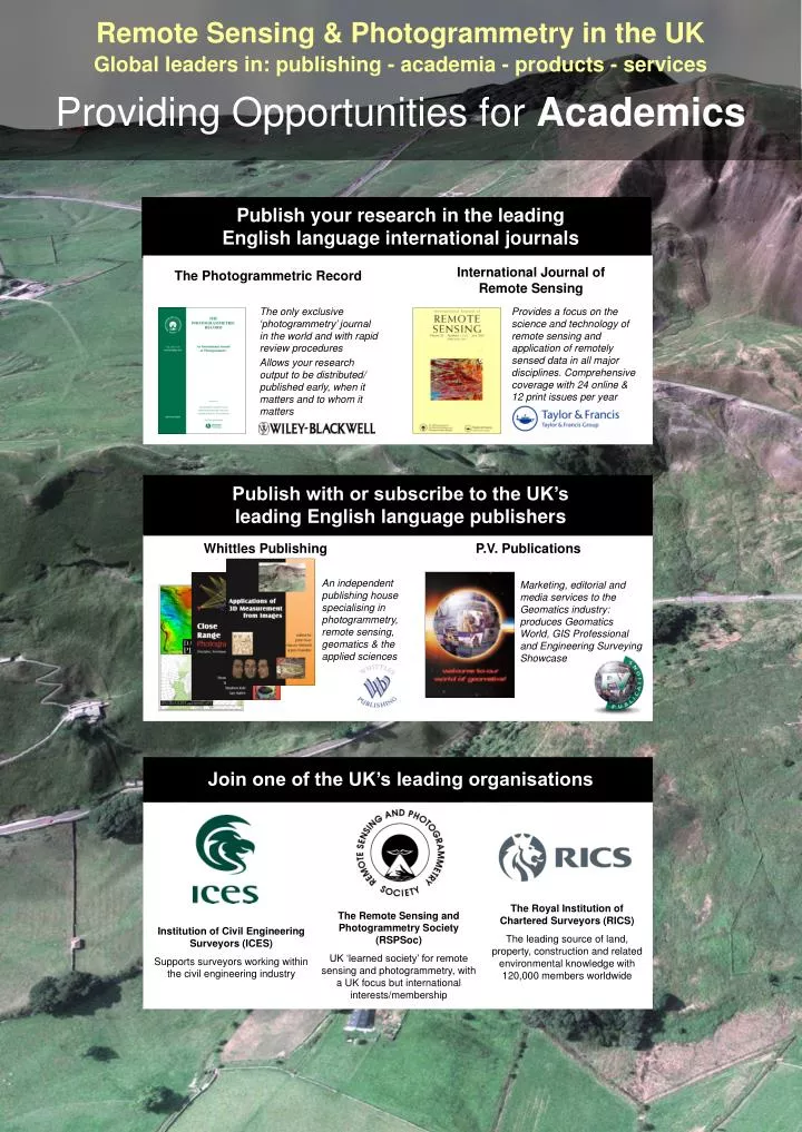
Remote Sensing & Photogrammetry in the UK Global leaders in: publishing - academia - products - services Providing Opportunities for Academics Publish your research in the leading English language international journals International Journal of Remote Sensing The Photogrammetric Record The only exclusive ‘photogrammetry’ journal in the world and with rapid review procedures Allows your research output to be distributed/ published early, when it matters and to whom it matters Provides a focus on the science and technology of remote sensing and application of remotely sensed data in all major disciplines. Comprehensive coverage with 24 online & 12 print issues per year Publish with or subscribe to the UK’sleading English language publishers Whittles Publishing P.V. Publications An independent publishing house specialising in photogrammetry, remote sensing, geomatics & the applied sciences Marketing, editorial and media services to the Geomatics industry: produces Geomatics World, GIS Professional and Engineering SurveyingShowcase Join one of the UK’s leading organisations The Royal Institution of Chartered Surveyors (RICS) The leading source of land, property, construction and related environmental knowledge with 120,000 members worldwide The Remote Sensing and Photogrammetry Society (RSPSoc) UK ‘learned society’ for remote sensing and photogrammetry, with a UK focus but international interests/membership Institution of Civil Engineering Surveyors (ICES) Supports surveyors working within the civil engineering industry
英国的遥感与摄影测量 全球先驱:出版-研究-产品-服务 Serving the needs of Industry Buy from and utilise the skills of the UK’s leading suppliers of Geomatics services Software Data acquisition Equipment close range industrial measurement, mapping, production of cost-effective satellite systems aerial photography, Lidar, SAR, TLS, remotely sensed data, UK & worldwide mapping, heritage recording development, training and education Study at a UK based university (BSc, MSc, PhD), learn English & gain exemption from professional exams Maintain your knowledge by subscribing to the leading English language literature Join one of the UK’s leading organisations The Remote Sensing and Photogrammetry Society (RSPSoc) Institution of Civil Engineering Surveyors (ICES) The Royal Institution of Chartered Surveyors (RICS) Background: Mam Tor landslide, Derbshire, UK.Orthophoto + DEM generated by Dr Jan Walstra using historical aerial photography: civil-unrest.lboro.ac.uk/cvjhc/jan/index.htm