Download

1 / 9
90 likes | 208 Views
2010 ESRI Developer Summit. What’s coming in ArcGIS 10. Timeline. April 1 ArcGIS 10 Prerelease June ArcGIS 10 Final ArcGIS.com V2.0 of ArcGIS Server API’s Jack Dangermond – “In my entire career in GIS, I have never felt so excited about a release.”. ESRI Stack. 4D (X, Y, Z, Time)

E N D
2010 ESRI Developer Summit What’s coming in ArcGIS 10
Timeline • April 1 ArcGIS 10 Prerelease • June • ArcGIS 10 Final • ArcGIS.com • V2.0 of ArcGIS Server API’s Jack Dangermond – “In my entire career in GIS, I have never felt so excited about a release.”
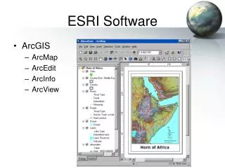
ESRI Stack • 4D (X, Y, Z, Time) • Geoprocessing/Map Automation • arcpy • Geodatabase • Spatial Data Types (Migrate Tool) • Attachments • FileGeodatabase API (C++ only)
Desktop • Editing • Query Layers • Add-ins • ArcGIS.com • SharePoint Integration • Display Performance • Geocoding • Migration
Server • Services • Feature Layers • API’s • Editing • JS, Flex, Silverlight (v2.0 ~ ArcGIS 10) • iPhone • Android, Windows Phone 7, Blackberry • Caching • Server Object Extensions
Explorer, Engine, Mobile • ArcGIS Explorer Online • ArcGIS Engine • Easier Installs • Faster Drawing • Multi-tasking backend • Licensing • ArcGIS Mobile • Windows Tablet and Mobile Applications • Mobile Project Center
What’s Next ArcGIS 10.1
Conclusion • ArcGIS Desktop • Editing, Map Automation, Map Authoring/Publishing tools • ArcGIS Server • Web tools for map display, minor/online editing, minor analysis • Always connected scenarios
Conclusion • ArcGIS Engine • Sometimes connected • ArcGIS Explorer • Free, middle weight viewer, presentations • ArcGIS Mobile • Lighter weight, handheld or touchscreen optimized