Download
1 / 7
70 likes | 189 Views
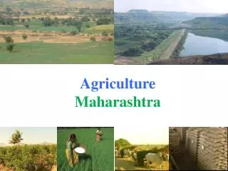
What if? modelling with CLC/LEAC/CORILIS Attempt at mapping areas prone to agriculture intensification. What if? Agro-fuel scenario Case of fallow land/set aside 1990-2000 at risk of re-intensification Version 0.01 _ zoom on Czech Republic. B. A.

E N D
What if? modelling with CLC/LEAC/CORILIS Attempt at mapping areas prone to agriculture intensification What if? Agro-fuel scenarioCase of fallow land/set aside 1990-2000 at risk of re-intensificationVersion 0.01 _ zoom on Czech Republic
B A Corilis is the computation in a regular grid of CLC values in and in the neighbourhood of each cell (in the application: radius of 5km) Ref.: EEA 2006, Land accounts for Europe 1990-2000 • Areas prone to agriculture intensification driven by the agro-fuel demand: assumptions • minimum of 20% of agriculture potential (~UAA) mountains, urban areas, large forests… are excluded. • higher potential for conversion when the 2 agriculture types are balanced (very intensive areas will not intensify any more, very extensive areas result probably from relief and climate conditions which will restrict intensification) • For each grid cell of 1km², the formula is therefore: • Conversion Potential = • [Potential (A-B)]2 * Potential (A+B), when Potential (A+B) > 20. Value normalised to 0 to 100
Case of fallow land/set aside 1990-2000 at risk of re-intensification, 1st test maps: • Areas prone to intensification (in GREY) AND fallow land set aside mapped from land cover flow 1990-2000 LEAC lcf41 (in GREEN). • Fallow land/set aside at risk of re-intensification are in RED. • (RED = GREY+GREEN) • At this stage, this is a distribution map, not yet a statistical quantification
Areas prone to intensification (in GREY) AND fallow land set aside mapped from land cover flow 1990-2000 LEAC lcf41 (in GREEN).
Fallow land/set aside at risk of re-intensification are in RED. (RED = GREY+GREEN)