Download
1 / 11
110 likes | 191 Views
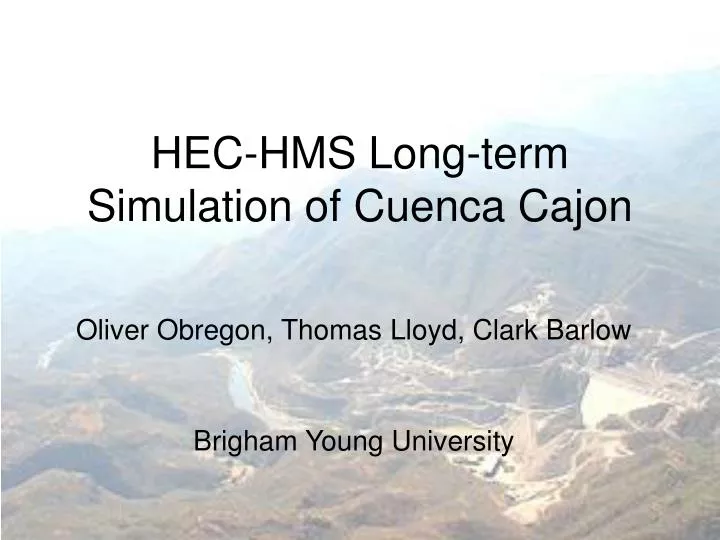
Water Quality Model for El Cajon Reservoir. HEC-HMS Long-term Simulation of Cuenca Cajon. Oliver Obregon and Clark Barlow. Oliver Obregon, Thomas Lloyd, Clark Barlow Brigham Young University. Brigham Young University, In collaboration with ITESO University. Project Location. Issues.

E N D
Water Quality Model for El Cajon Reservoir HEC-HMS Long-term Simulation of Cuenca Cajon Oliver Obregon and Clark Barlow Oliver Obregon, Thomas Lloyd, Clark Barlow Brigham Young University Brigham Young University, In collaboration with ITESO University
Issues Dams are planned and under construction along the Santiago River in the Cajon watershed Mexican engineers would like to be able to predict how quickly new dams will be filled with water
Model Background • What is HEC-HMS? Capable of long-term, distributed (gridded) simulations Methods Used within HEC-HMS • SMA (Soil Moisture Accounting) • MOD Clark
Method Information • True long-term simulation • Uses parameters such as canopy storage, groundwater storage, infiltration rates, evapotransporation rates, etc. SMA MOD Clark • Requires fewer parameters • Better suited for single storm events (short-term simulations) • SCS based method
HEC-HMS SMA Method • Information Gathered DEMs, Dam locations, Soil and Land Use Data (not used) • Information Not Gathered Everything else • SMA Project Approach • Using real and fabricated data, built a running, working model • Created a HEC-HMS SMA tutorial • Created a parameter optimization tutorial
HEC-HMS MOD Clark Method • Information Gathered • DEMs, Dam locations, Soil and Land Use, Precipitation (Tepic) • Assumptions • 25 x 25 grid • Precipitation data was representative • Two month duration (wettest months) • MOD Clark Project Approach • Created CN table for land use and soil data • Used average daily precipitation values (6-hour and daily increments) • Used actual daily precipitation data from July-August 2006
HEC-HMS MOD Clark Results 6 hour I day
HEC-HMS MOD Clark Results Actual Precipitation, Linear distribution
HEC-HMS MOD Clark Results Actual Precipitation, Modified Type II distribution