Download
1 / 22
230 likes | 469 Views
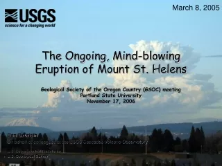
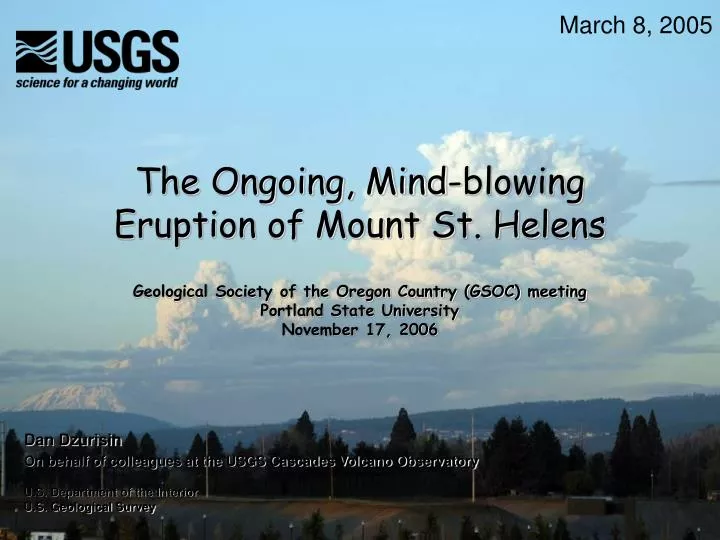
March 8, 2005. The Ongoing, Mind-blowing Eruption of Mount St. Helens. Geological Society of the Oregon Country (GSOC) meeting Portland State University November 17, 2006. Dan Dzurisin On behalf of colleagues at the USGS Cascades Volcano Observatory. U.S. Department of the Interior

E N D
March 8, 2005 The Ongoing, Mind-blowing Eruption of Mount St. Helens Geological Society of the Oregon Country (GSOC) meeting Portland State University November 17, 2006 Dan Dzurisin On behalf of colleagues at the USGS Cascades Volcano Observatory U.S. Department of the Interior U.S. Geological Survey
Let’s skip right to the good stuff 2004-2006 lava dome Feb. 22, 2005 East arm, Crater Glacier whaleback West arm, Crater Glacier 1980-1986 lava dome If this doesn’t quicken your pulse, check that you have one
…that didn’t stop! …with an earthquake swarm… September 23, 2004 September 24, 2004 SEP webicorder (on 1980-1986 lava dome) It started on a quiet September morning…
PDT 09/24 09/25 09/26 09/27 09/28 09/29 09/30 Within a few days, several earthquakes were occurring per minute…
September 29, 2004 …and a large welt was rising on the south crater floor. Eight days after the first earthquakes…
October 1, 2004 Mount St. Helens’ first eruption of the 21st century was underway! By October 1…
On October 11, 2004, the first new lava emerged and the dome-building phase of the eruption was underway Tremor Steam and Ash Volcano alert (10/2) Steam and Ash Steam and Ash Tremor Steam and Ash Seismic Amplitude, September 20, 2004 – January 5, 2005 USGS and PNSN provided timely information and hazards assessmentsto partner agencies and the public Volcano advisory (9/29) Volcano advisory (10/6) Notice of volcanic unrest (9/26)
The eruption sparked intense interest from the media and public
USGS scientists provided daily press briefings at CVO until a joint information center was set up at USFS Gifford Pinchot National Forest Headquarters CVO kept its attention focused on the volcano…
The welt grew at a prodigious rate (That’s a BIG helicopter) October 7, 2004 2004 welt 1980-1986 dome Until, on October 11…
October 11, 2004 …a hot (775°C, 1430°F) lava spine emerged
November 4 In late October, a whaleback-shaped extrusion appeared
A time-lapse camera on Sugar Bowl Dome records the whaleback’s growth (sometimes)
Scientists are using a combination of time-tested and innovative techniques to study the eruption Helicopter mounted FLIR and video module
There are several species of spider… …and they’re evolving! Marvin MARV Lander - Brain child of Marvin Couchman, USGS/CVO
…including some places even a volcanologist wouldn’t go We’ve placed spiders on the 1980-1986 dome… …and on the new dome… “Whale rider” spider In the process, we’re learning a lot about …
February 22, 2005 “Bathtub rings” record dome growth Eruption mechanics “Fault gouge” is dome rock pulverized by earthquakes Volcano-glacier interactions Dome-building processes and hazards Why bother? (So what?) 1980-1986 dome
Volcano Studies: Challenges and Opportunities for the 21st Century • Radar-interferometry satellites can monitor most of the world’s volcanoes at centimeter-scale accuracy with high spatial resolution and virtually complete areal coverage • Networks of continuous sensors, including seismometers, GPS, strainmeters, and tiltmeters, can maintain constant vigilance even at long-dormant volcanoes. In the United States, EarthScope (USArray, PBO, SAFOD, InSAR?) is the most ambitious and promising Geoscience initiative ever undertaken. • Autonomous, self-organizing sensor networks can provide essential real-time information that is spatially and temporally dense in areas otherwise inaccessible for reasons of logistics or safety. Such networks can trigger event-driven data acquisitions by Earth-observing satellites, thus supporting continuous global surveillance of hundreds of dangerous volcanoes. USGS/CVO, WSUV, and NASA are developing a prototype system for deployment at Mount St. Helens. • By monitoring volcanoes more thoroughly using a combination of old-school and 21st century techniques, scientists might be able to anticipate the onset of shallow volcanic unrest, intensify monitoring, and provide longer term warnings of impending eruptions.
Something EXTRAORDINARY is happening at Mount St. Helens. The volcano’s last 2 quiescent periods lasted 123 years (1857-1980) and 18 years (1980-2004). Past inter-eruption periods have lasted for several millennia. We’re living in interesting times.