Download
1 / 37
370 likes | 476 Views
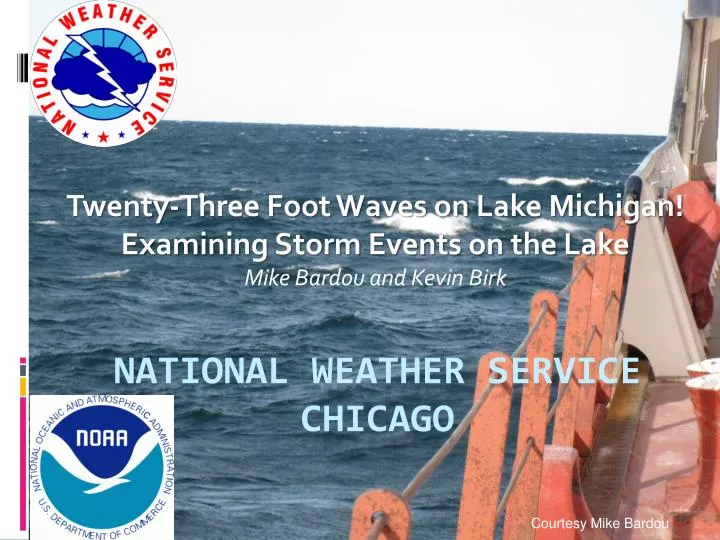
Twenty-Three Foot Waves on Lake Michigan! Examining Storm Events on the Lake Mike Bardou and Kevin Birk. National Weather Service Chicago. Courtesy Mike Bardou. High Impact Wind Events across Lake MI during Fall of 2011. September 29-30 th Clipper October 20 th Ohio Valley Low

E N D
Twenty-Three Foot Waves on Lake Michigan! Examining Storm Events on the Lake Mike Bardou and Kevin Birk National Weather ServiceChicago Courtesy Mike Bardou
High Impact Wind Events across Lake MI during Fall of 2011 • September 29-30th Clipper • October 20th Ohio Valley Low • Both events produced high end Gale to Storm force winds. • Were “High profile events” as significant waves from these storms caused major impacts to the Chicago area shorelines.
Motivation • Increase forecast understanding of these High impact and High Profile wind events across Lake Michigan • Better understand and predict the impacts not only to mariners, but also to bystanders onshore.
The September 30th Clipper • Low Pressure deepened to 992 mb as it dropped southeastward across the Upper Great Lakes • High pressure around 1028 mb built in across the plains • Rapid increase in Northerly winds across Lake Michigan on the evening of the 29th.
12 UTC Sep 29th 00 UTC Sep 30th 300 MB Jet and Surface 300 MB Jet and Surface
06 UTC Sep 30th 12 UTC Sep 30th • Big players in rapid onset of Storm Force Winds. • A strong and very fast moving system produced isallobaric pressure rises around 8-12 mb in 6 hours across Lake Michigan • Low Level cold air advection around 5º Celsius in 4 hours.
07 UTC September 30th South Buoy Water Temp: 15º - 16º C 850 mb Temp: 3º C 900 mb Temp: 9º C
Forecasts For Sept 29-30th • Headlines for Gale watch first issued at 3:00 PM Tuesday 9/27 • Gale watch for winds to 40 to 45 kt • Waves 15 to 20 ft. • Headlines upgraded to Storm Watch at 3:00 AM 9/28. • Storm force winds to 50 kt. • Waves 14 to 20 ft. • Storm warning issued at 3:12 PM 9/28. • Storm winds to 50 kt increased to 55 kt the morning of the 29th. • Waves 14 to 20 ft increased to 20 to 25 ft the morning of the 29th.
Forecasts For Sept 29-30th • Headlines for Coastal Flood Warning Issued For Porter County Indiana the morning of 9/29 • Waves 15 to 20 ft for the Indiana Shores. • Waves 12 to 16 ft for the Illinois Shores (No Coastal Flood product issued other than for rip currents). Courtesy Mike Bardou
North Half Observations • Winds quickly increased to Storm Force during the evening on the 29th as the surface low passed across the lake. • North winds gusted up to 48 knots from 02 to 05 UTC at the north buoy. • Manistee Harbor, MI peaked at 56 knots a couple hours later. • Winds slowly weakened overnight, but remained near Storm force through the morning on the 30th.
South Half Observations • Winds increased to Storm Force during the late evening on the 29th as the surface low and cold front passed across southern LM. • Northwest winds gusted to 47 knots at the south buoy. • Highest period of winds from 04 to 14 UTC. • Total of 19 (9) hours of Gale force (40 kt) and stronger winds at south buoy. • South Haven, MI peaked to 59 knots.
Knots 34 32 39 34 Peak Winds 9/30/2011 56 49 44 59 62 52 46 56 53 33 44 39 36 34 47 47 40 38 59 48 47 48 52 46
Wave Height • Significant wave heights at the south buoy peaked at 23 feet at 08 UTC on the 30th (approximately 6 hours after the onset of north storm force at the north buoy). *25 *14 *10 * 6 hours of wave data likely above 14 ft missing.
Tug boat reported 24-27 ft waves coming over the Burns Harbor breakwall 9/30 AM 4-5 ft waves Courtesy Mike Bardou
Chicago lake front bike path impacts http://www.youtube.com/watch?v=DP2AfyGMUFE
October 19th–20th Storm • An energetic upper level trough across the central U.S. produced a strong southerly upper level jet across the eastern states. • Surface low pressure across the southeast U.S. rapidly deepened during the afternoon and evening of the 19th. • As the surface low began to occlude, it moved north northwestward across northern OH and to far southeast MI by the morning of the 20th.
12 UTC Oct 19th 00 UTC Oct 20th 300 MB Jet and Surface 300 MB Jet and Surface
06 UTC Oct 20th 12 UTC Oct 20th Big players in onset of Storm Force Winds. -The strong pressure gradient (~50 µb/km) that set up as the low retrogressed westward. -1021 mb high across the plains with a 985 mb low across southeastern MI.
09 UTC October 20th South Buoy Water Temp: 11º C 850 mb Temp: 1º C 900 mb Temp: 4º C
Forecasts For Oct 19-20th • Headlines for Gale watch first issued at 2:57 PM 10/17 • Gale watch for winds to 45 kt • Waves 15 to 20 ft. • Headlines upgraded to Storm Watch at 2:44 AM 10/18. • Storm force winds to 50 kt. • Waves 15 to 20 ft. • Storm warning issued at 2:40 PM 10/18. • Storm winds to 50 kt. • Waves 20 to 25 ft.
Forecasts For Oct 19-20th • Headlines for Coastal Flood Warning Issued For The Illinois and Indiana shores at 1:58 PM 10/18 • Waves 20 to 25 ft for the Indiana Shores. • Waves 17 to 22 ft for the Illinois Shores.
Observations • Winds increased during the afternoon and evening of the 19th. • Peak winds occurred between 04 and 12 UTC. • Total of 24 (15) hours of Gale force (40 kt) and stronger winds at south buoy. • Wave data missing during peak winds at the south buoy. • Peak (recorded) wave heights hit 19 Feet at 1050 UTC – missing data during peak wind period (5th highest on record for LM). *32 *26 *19 *11 * 11 hours of wave data likely above 10 ft missing
Observations • Strong dependency on fetch for significant winds. • Near shore observations indicated a significant decrease in the wind magnitude as the wind direction shifted offshore. Strong Decrease as winds shifted off land
Knots Peak Winds 10/20/2011 46 39 35-40 6-7 ft 57 Ship Reports 45-50 ~8 ft 45 53 51 51 54 43 54 46
History of the Largest Waves on Lake Michigan • Top events by max wave height indicate near storm force winds* in all cases of waves over 16 feet. • All events except one produced favorable fetches for high waves at each buoy. Fetch only 50 to 60 miles
History of the Largest Waves on Lake Michigan • Top 10 events by max wave height at the south buoy indicate an average of 13.3 hours of Gales and 22.5 hours of waves over 10 Feet.
Gust to Sustained Wind Speed Difference • Wind Gusts in excess of gale force show between 21 and 29 % increase over the sustained wind speed over the Lake. • Over land the percentage increase of gusts is between 43 and 63%.
Lessons Learned • Do not necessarily need tremendously deep low to generate significant wind events on the lake • - gradient • - isallobaric component – deepening and fast moving systems • - instability amidst strong low/mid level wind field • Are forecast winds ~25% less than your gusts? If not, your wave forecast may be adversely affected. • Gain knowledge of wind/wave thresholds along the shoreline. • These thresholds can be used for warning and decision support services to assess the threat to bystanders and property along the shore.
Questions??Thank you! Courtesy Mike Bardou Courtesy Kevin Birk