Download
1 / 12
130 likes | 223 Views
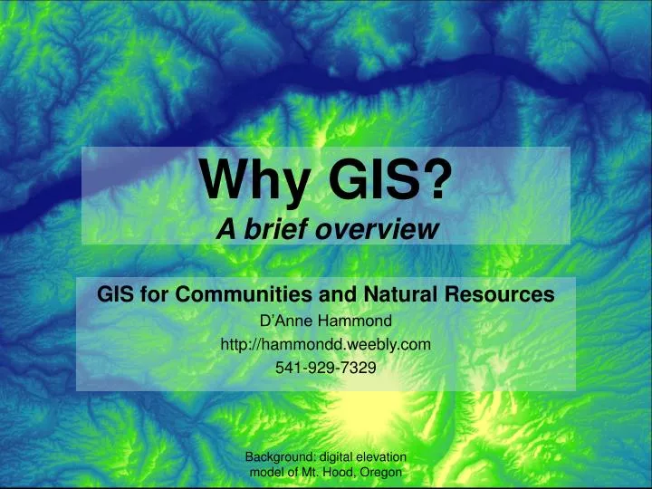
Why GIS? A brief overview. GIS for Communities and Natural Resources D’Anne Hammond http://hammondd.weebly.com 541-929-7329. WHO needs GIS?. City, county, state government Planners, city councils, public works, assessors... more Natural resource agencies Health organizations

E N D
Why GIS?A brief overview GIS for Communities and Natural Resources D’Anne Hammond http://hammondd.weebly.com 541-929-7329 Background: digital elevation model of Mt. Hood, Oregon
WHO needs GIS? • City, county, state government • Planners, city councils, public works, assessors...more • Natural resource agencies • Health organizations • Scientists, businesses, utilities...more anyone involved in managing public assets or processes
WHAT is GIS? • Geographic Information System • For spatial data management and decision-making • Locates, overlays, analysis, planning, visualization • Where is the asset or problem? • What is affected by the asset or problem? • Who is affected by the asset or problem? All spatial information can be visualized, queried, managed, and manipulated using GIS
WHAT is GIS...ESRI* A geographic information system (GIS) lets us visualize, question, analyze, interpret, and understand data to reveal relationships, patterns, and trends. *Environmental Systems Research Institute Free GIS software is also available; GRASS, QGIS most common http://www.esri.com/what-is-gis
HOW to GIS? • Needs assessment • What do you want to get back out of your GIS? • Existing data (drawings, CAD, aerial imagery, other) • Data acquisition (planning, sources, time) • Decide who needs access to the data (data sharing) • Decide software/hardware (depends on implementation) • Learn how to use GIS - high learning curve • OR hire someone to teach it and use it • Convert / collect data • Implementation - create databases, etc.
GIS options • Own your system • most functional and convenient • Online applications • lower cost, host data off-site • Fully functional system (analyses) vs. • Simplified mapping, overlays, visualization • Asset management systems - many available • Pre-packaged • Piece it together • Integrate with field technology
GIS cost Depends on: • Existing data, conversion, acquisition • Extent of implementation • mapping vs. asset mgt. and analysis • System you choose to implement • software, hardware • Hiring vs. training • Available partnership opportunities • Available grants or other funding
GIS benefits • Cost reductions • Manual vs. GIS-based map creation • Reduced work-order entries (centralized) • Cost avoidance • Reduced cost issuing and tracking permits • Forecast infrastructure dev. (don’t overbuild) • Save time for property searches: centralized source for rights and encumbrances • Increased efficiency & productivity • Reduced man-hours hunting for maps
GIS benefits cont’d • Regulatory compliance • Improved coordination of projects • Link to utility billing and service monitoring Benefits lead to... • Increased transparency • Improved customer satisfaction and staff wellbeing • Better budget outcomes
Education & experience GIS, SNR, MPP • Graduate GIS certificate, OSU Geosciences • Advanced level ArcGIS • Remote sensing and raster data • Responsible GIS practice (ethics) • Philomath sign management • gps sign inventory: data dictionary and data collection, 750+ signs; FHWA, MUTCD, and GASB regs. • GIS map data connected to MSAccess (drawbacks) • OPRD grant, city and park maps
Education & experience • SNR certificate, used GIS for • imagery • watersheds • vegetation classification • regional ownership maps • GIS data enabled production of reports with land-use and other policy considerations • Master’s in Public Policy, rural focus • Policy research and analysis • Econometrics • Natural resources and community values • Poverty
GIS for Communities and Natural Resources • Needs assessment • Data collection • GIS implementation consult Connecting you with the right system and services to meet your needs