Download
1 / 19
190 likes | 282 Views
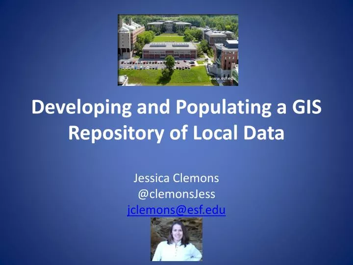
www.esf.edu. Developing and Populating a GIS Repository of Local Data. Jessica Clemons @ clemonsJess jclemons@esf.edu. Objectives. Provide some background on GIS repositories and libraries Mention specific roles of libraries Discuss options to achieve the project goals

E N D
www.esf.edu Developing and Populating a GIS Repository of Local Data Jessica Clemons @clemonsJess jclemons@esf.edu
Objectives • Provide some background on GIS repositories and libraries • Mention specific roles of libraries • Discuss options to achieve the project goals • Review challenges to accomplishing the goals • Determine the next steps in the process
General background • Geospatial data is in high use and high demand especially in academic institutions • Management of data is required by many funding agencies • Geospatial data management is particularly complicated • Sharing data is important to advance science • Good examples: Google Earth, USGS
Library background • Some libraries are already partners for data management requirements • GIS data a natural extension of this? • Librarians are used to dealing with data, adding metadata, and helping people find information • There are professional library organizations who are actively engaged in these initiatives
Spatial data cycle Hartter, J., Ryan, S. J., MacKenzie, C. A., Parker, J. N., & Strasser, C. A. (2013). Spatially Explicit Data: Stewardship and Ethical Challenges in Science. PLoS Biology, 11(9).
Description • Metadata • Added within the files themselves • remember the exercise GEOG 484 in ArcCatalog? • FGDC, OCG, others have guidelines • Not necessarily followed • Qualitative data can be more difficult to find a “home” for
Standard metadata http://gis.ny.gov/gisdata/
“Librarian enhanced” metadata http://cugir.mannlib.cornell.edu/
Preservation and storage • Many decisions to make, for example: • Platform/location • File type • NDIPP is an excellent resource • File formats are a big concern • Cloud computing is an attractive option • Requires training, money, more staff, more infrastructure… • Not the answer for this initiative
Discoverability • Also known as “findability” • Metadata really helps with this • Searching data full-text is not necessarily helpful • Weigh benefits of creating yet another database to search with local control • Include this in discovery layers, institutional repositories, or known platforms for data
Example of a finding aid http://researchguides.library.syr.edu/GIS
Why bother? • New and emerging role for libraries • Add a “citable unit” for faculty research • Highlight and stimulate research on campus • Help advance research and teaching • Even in a small way
Challenges • Hard getting to data • Exactly why this project is important • Repository upgrades • Taking an entire month • Can’t add new data • Time • Support from colleagues, institution, etc.
Next steps • Find data (possibly find other data on campus) • Wait for Dspace to be upgraded • Begin pursuing collaborations with CUGIR librarians • Establish connections with faculty on campus who are using GIS
References • Bishop, B. W., Grubesic, T. H., & Prasertong, S. (2013). Digital Curation and the GeoWeb: An Emerging Role for Geographic Information Librarians. Journal of Map & Geography Libraries, 9(3), 296–312. • Bose, R., & Reitsma, F. (2006). Advancing Geospatial Data Curation. Retrieved from http://www.era.lib.ed.ac.uk/handle/1842/1074 • Boxall, J. C. (2007). Advances and Trends in Geospatial Information Accessibility—Part II. Journal of Map & Geography Libraries, 3(1), 57–78. • Data Sharing Cooprative. (n.d.). NYS GIS Clearinghouse - Coordination Program. Retrieved October 29, 2013, from http://gis.ny.gov/co-op/ • Dietrich, D., Adamus, T., Miner, A., & Steinhart, G. (2012). De-mystifying the data management requirements of research funders. Issues in Science and Technology Librarianship, 70(1). Retrieved from http://www.istl.org/12-summer/refereed1.html?a_aid=3598aabf • Erwin, T., & Sweetkind-Singer, J. (2009). The National Geospatial Digital Archive: A Collaborative Project to Archive Geospatial Data. Journal of Map & Geography Libraries, 6(1), 6–25. • Faniel, I. M., & Zimmerman, A. (2011). Beyond the Data Deluge: A Research Agenda for Large-Scale Data Sharing and Reuse. International Journal of Digital Curation, 6(1), 58–69. • Foundyller, C. (2011). GIS/Geospatial Sales Up 10.3% to US$4.4 Billion Growth Forecast to Top 8.3% in 2011. Cambridge, MA: Daratech. • Hartter, J., Ryan, S. J., MacKenzie, C. A., Parker, J. N., & Strasser, C. A. (2013). Spatially Explicit Data: Stewardship and Ethical Challenges in Science. PLoS Biology, 11(9). • Hoebelheinrich, N. J. (2012). An Aid to Analyzing the Sustainability of Commonly Used Geospatial Formats: The Library of Congress Sustainability Website. Journal of Map & Geography Libraries, 8(3), 242–263. doi:10.1080/15420353.2012.700301 • Kollen, C., Dietz, C., Suh, J., & Lee, A. (2013). Geospatial Data Catalogs: Approaches by Academic Libraries. Journal of Map & Geography Libraries, 9(3), 276–295. • Metadata Ad Hoc Working Group. (2012). Federal Geographic Data Committee endorsed standards. Standards publications. Retrieved November 13, 2013, from http://www.fgdc.gov/standards/standards_publications/ • Morris, S. P. (2009). The North Carolina Geospatial Data Archiving Project: Challenges and Initial Outcomes. Journal of Map & Geography Libraries, 6(1), 26–44. • National Institutes of Health. (2003, February 26). Final NIH statement on sharing research data. NIH Guide Notice. Retrieved October 28, 2013, from http://grants1.nih.gov/grants/guide/notice-files/NOT-OD-03-032.html • National Science Foundation. (2013, January 1). NSF Data Management Plan Requirements. Dissemination and Sharing of Research Results. Retrieved October 28, 2013, from http://www.nsf.gov/bfa/dias/policy/dmp.jsp • Olson, J. A. (2010). Data as a service: Are we in the clouds? Journal of Map and Geography Libraries, 6(1), 76–78. • Open Geospatial Consortium Standards and Supporting Documents. (2013). Open Geospatial Consortium. Retrieved November 13, 2013, from http://www.opengeospatial.org/standards • Reilly, S. (2012). The role of libraries in supporting data exchange. Presented at the International Federation of Library Associations, Helsinki.
Jessica Clemons @clemonsJess jclemons@esf.edu Questions? Thank you to: Linda Musser (advisor) Beth King