Download
1 / 45
540 likes | 867 Views
Dendroclimatology. Dendroclimatology (relationship between annual tree growth and climate) offers high resolution paleoclimate reconstruction for most of the Holocene Huon pine - Lagarostrobos franklinii A conifer endemic to Tasmania is recognized as the longest living tree (or organism) known

E N D
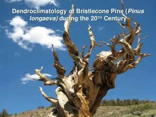
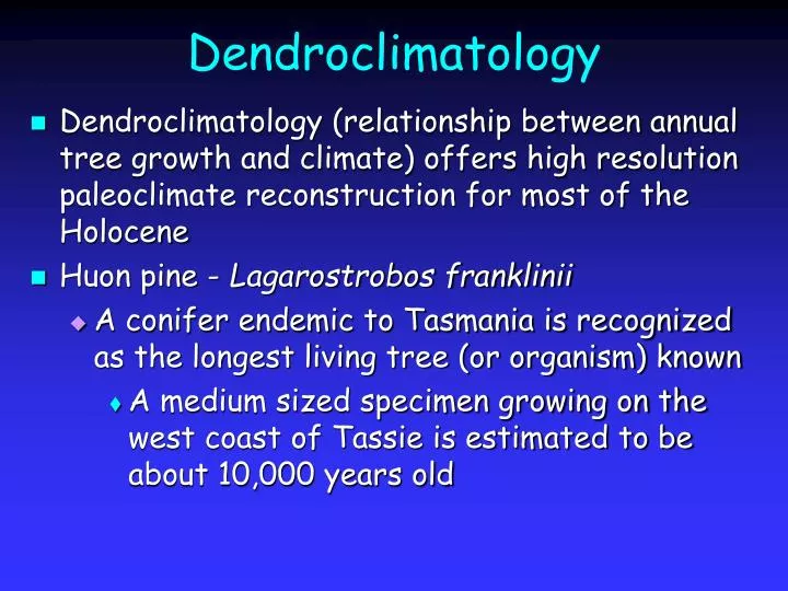
Dendroclimatology • Dendroclimatology (relationship between annual tree growth and climate) offers high resolution paleoclimate reconstruction for most of the Holocene • Huon pine - Lagarostrobos franklinii • A conifer endemic to Tasmania is recognized as the longest living tree (or organism) known • A medium sized specimen growing on the west coast of Tassie is estimated to be about 10,000 years old
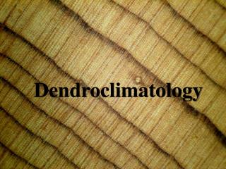
Tree Rings • Cross section of temperate forest tree trunks reveal alternation of light and dark bands • Seasonal growth increments consisting of earlywood (light growth band from early part of the growing season) and denser latewood (a dark band produced towards the end of the growing season) • Mean width of tree rings are a function of tree species, tree age, soil nutrient availability and a whole host of climatic factors • Dendroclimatologist must extract climatic signals available in the tree-ring data from remaining background "noise"
Climate Information from Trees • Tree growth can be limited directly or indirectly by some climate variable • If the limitation can be quantified and dated, dendroclimatology can be used to reconstruct some information about past environments • Trees growing near the extremes of their ecological niche are subject to climatic stresses – typically moisture and temperature stress • Trees in semi-arid regions are frequently limited by the availability of water • Dendroclimatic indicators reflect water • Trees growing near the latitudinal or altitudinal tree line are frequently temperature limited • Dendroclimatic indicators reflect temperature
Sediments • Marine sediments accumulating in ocean basins can indicate climate conditions in the surface ocean or on the adjacent continents • Sediments are composed of both biogenic and terrigenous materials • Biogenic components include planktonic and benthic organisms • The nature and abundance of terrigenous materials provides information about continental weathering and the intensities and directions of winds • Ocean sediment records have been used to reconstruct climate change ranging from thousands of years to tens of millions of years in the past
Biogenic Sediments • Calcareous or siliceous oozes • Three types of analysis of calcareous and siliceous tests are typically used for climate reconstruction • The oxygen isotopic composition of calcium carbonate • The relative abundance of warm- and cold-water species • The morphological variations in particular species resulting from environmental factors
Isotopic Composition of Shells • First general rule of isotope geochemistry • Heavy isotopes concentrate in the compound where bond energy is strongest • When a mineral forms in water, heavy isotope concentrates in the mineral • The isotopic composition is a function of • The isotopic composition of the water • The temperature of formation • Fractionation decreases as temperature increases
The d18O of Shells • Temperature dependent • T = 16.9 - 4.2 (dc - dw) + 0.13 (dc - dw)2 • Isotopic variations in carbonates small • For modern analyses, dw can be measured directly in ocean water samples; in fossil samples, however, the isotopic composition of sea water is unknown and cannot be assumed to have been the same as it is today
Glacial/Interglacial change in 18O Interglacial scenario: High sea-level stand coupled with little ice at the poles and relatively little storage of 16O in ice caps leads to relatively sea-water rich in 16O. Calcareous organisms living in the oceans will incorporate more 16O in their carbonate shells. Clouds contain high proportion of the light isotope because of it's higher vapor pressure. Glacial scenario: Low seal level stands with much polar ice will store more 16O and thus sea water will contain a higher proportion of 18O; this proportion will be mirrored by calcareous organisms that live and fractionate this water when they form their shell. Clouds contain high proportion of the light isotope because of it's higher vapor pressure.
Trends in d18O • During glacial times • Sea water enriched in 18O • Surface water colder • d18O of planktonic calcareous organisms more positive • During interglacial times • Sea water enriched in 16O • Surface water warmer • d18O of planktonic calcareous organisms more negative
Constraining d18O of Seawater • Isotopic records of deep water organisms can help • Bottom water temperatures (» -1°C to 2°C) have changed little since glacial times • Therefore increases in the d18O of deep water organisms mostly reflect changes in the isotopic composition of the glacial ocean • Concluded that 70% of the changes in the isotopic composition of surface dwelling organisms was due to changes in the isotopic composition of the oceans, and only 30% due to temperature variations
Other Complications – Vital Effects • Unfortunately calcareous marine organisms never took a course in chemical thermodynamics • They do not precipitate their shell in oxygen isotope equilibrium with seawater • Calcareous organisms commonly display “vital” isotope effects • For example, incorporation of metabolically produced carbon dioxide • Vital isotope effects are not a problem if • They are known • They are constant
Other Biotic Climate Data • Climate reconstruction can be achieved by studying • Relative abundances of species • Species assemblages • Morphological variations • Test coiling directions, either right-coiling (dextral) or left-coiling (sinistral), reveal proxy information about paleo-temperatures of the oceans • Other variations include differences in test size, shape and surface structure
Corals • Coral skeleton are colonies composed of polyps • Symbiotic algae (zooxanthellae) • Zooxanthellae supply both with food and oxygen • Food caught by the coral supplies both with phosphorous and nitrogen • Algae are crucial to calcium carbonate deposition • Without algae corals unable to produce substantial reef structures • Complicates geochemical records from corals
Coral Growth • Polyps are seated in aragonite secreted by the epidermis • CaCO3 is deposited beneath living tissue • Interconnected polyp networks completely covers the skeleton • Corals periodically encapsulate a portion of their skeleton and seal it off from contact with sea water or living tissues • Over the course of years, each polyp lifts itself hundreds of times leaving new skeleton behind
Annual Banding in Coral • Density of skeleton depends on coral growth rate • Related to temperature and cloud cover • Winter growth slow and skeleton is dense (dark) • Spring and summer growth rapid and skeleton is less dense (light) • Seasonal coral banding may be visible to the naked eye or apparent in an x-ray • Age of corals determined by counting bands • Uneven banding can reveal significant weather events
Sample Collection • Hydraulic drill used to collect a core through the coral • Cores taken to coral's plane of maximum growth
Coral Records of SST • d18O function of SST and salinity (fresh water influx and precipitation) • Close correspondence between 18O and instrumental measurements • Red spikes in 18O record match up with red spikes in the SST record • Coral 18O data nearly as accurate as instrumental data • Coral records can cover the past 500-800 years • Instrumental records are only available for the last 50-100 years
Long Records • Detailed records of 18O provide information on SST and El Nino activity for last 350 years • Longer records obtained by splicing records
Other Coral Geochemical Proxies • Cd/Ca and Ba/Ca proxy for upwelling • Cd and Ba have nutrient-like distributions in seawater and therefore are sensitive indicators of vertical mixing -- Other proxies?
Terrigenous Material in Marine Environments • Weathering and erosion processes in different climatic zones on continental land masses produce characteristic inorganic products • Those products are transported to oceans (wind, rivers or floating ice) and deposited on the sea floor • Carry information about the climate of their origin or transportation route, at the time of deposition • Terrestrial detritus dilutes the relatively constant influx of calcium carbonate • Most basic information is carbonate purity
Terrestrial Sediments • Several types of non-marine sediments can provide relevant climatic information • Aeolian, glacial, lacustrine and fluvial deposits are a function of climate • Often difficult to distinguish specific causes of climatic change • Erosional features such as ancient lacustrine or marine shorelines, or glacial striae also reveal climatic information
Periglacial Features • Morphological features associated with continuous (permafrost) or discontinuous (diurnal or seasonal freezing) periods of sub-zero temperatures • Features such as fossil ice wedges; pingos; sorted polygons; stone stripes; and periglacial involutions • Climate reconstructions are subject to a fair degree of uncertainty • The occurrence of periglacial activity can only indicate an upper limit on temperatures • These features are difficult to date • Dating of associated sediments provides only a maximum age estimate
Glacial Fluctuations • Glacier fluctuations result from changes in the mass balance of glaciers • Glacial movements lag climate forcing • Different glaciers have different response times to mass balance variations • Interpreting glacial movements in terms of climate complex • Many combinations of climatic conditions might correspond to specific mass balance fluctuations • Temperature, precipitation (snowfall) and wind speed are three main factors
Records of Glacial Movements • Record of glacial front movements is derived from moraines • Piles of sediments carried by advancing glaciers and deposited when they retreat • Periods of glacial recession, and the magnitude of recession, are harder to identify • Repeated glacial movements can destroy evidence from earlier advances
Dating Glacial Movements • Dating glacial movements prone to considerable error • Radiocarbon dates on organic material in soils on moraines provides a minimum age for glacial advance • Considerable time lag may exist between moraine deposition and soil formation • Lichenometry (lichens) and tephrochronology (lava flows) can sometimes be to date glacial events • Reliability is restricted
Lake Level Fluctuations • In regions where surface water discharge (via rivers and other waterways) is restricted to inland basins • Changes in the hydrological balance can provide evidence for past climatic fluctuations • In land-locked basins, water loss is almost entirely due to evaporation • During times of positive water budgets (wetter climates), lake levels rise and lakes expand • During times of negative water budgets (drier climates), lake levels drop and the aerial expanses recede • Lake studies particularly useful in arid or semi-arid areas
Lake Titicaca, Altiplano, Andes • What can the lake level of high altitude lakes tell us about oceanic circulation and atmosphere-oceanic interactions? R/V Neecho, WHOI
Salar de Uyuni, Bolivia • World's largest salt flat contains a record of alternating wet/dry periods on the Altiplano
Factors Affecting Lake Level • Factors affecting the rates of evaporation include • Temperature, cloudiness, wind speed, humidity, lake water depth and salinity • Factors influencing the rate of water runoff include • Ground temperature, vegetation cover, soil type, precipitation frequency, intensity and type (i.e. rain, snow etc.), slope gradients and stream sizes and numbers
Identifying Lake Levels • Episodes of lake growth identified by • Abandoned wave-cut shorelines, beach deposits, perched river deltas and exposed lacustrine sediments • Episodes of lake retreat • Identified in lake sediment cores or by paleosols and evaporites developed on exposed lake bed • Stratigraphy, microfossil analysis and geochemistry may be used to decipher lake level history
Pollen Analysis • Pollen and spores accumulations • Record past vegetation • Changes in the vegetation of an area can be due to changes of climate • Pollen grains and spores form ideal records • Extremely resistant to decay • Produced in huge quantities • Distributed widely from their source • Can possess unique morphological characteristics
Problems with Pollen • Differences in pollen productivity and dispersion rates pose significant problems • Relative abundances of pollen grains in a deposit cannot be directly interpreted in terms of species abundance • Calibration of pollen abundance and spatial distribution to species frequency is necessary • Pollen is a wind-blown sediment • Accumulates on any undisturbed surface • Sediments containing fossil pollen include peat bogs, lake beds, alluvial deposits, ocean bottoms and ice cores • When pollen is deposited in water, differential settling, turbulent mixing and sediment bioturbation can bias record
Pollen Uses • Pollen analysis usually allow only qualitative reconstructions • The climate was wetter/drier or warmer/colder • Sometimes it is possible to quantify climatic variations by the use of individual indicator species rather than total pollen assemblages • The occurrence of plants that may not be abundant but which are limited by specific climatic conditions
Sedimentary Rocks • Marine sediments >100 my subducted • If sediments uplifted and exposed, can be used to reconstruct past climates • As sediments become progressively buried undergo lithification and diagenesis • Geochemical proxies must take into account chemical alteration • Record can be compressed
Climate Reconstruction – Rock Type • Rock type provides valuable information • Evaporites • Lithified salt deposits and evidence of dry arid climates • Coals • Lithified organic matter and evidence of warm, humid climates • Phosphates and cherts • Lithified siliceous and phosphate material and evidence of ocean upwelling • Reef limestone • Lithified coral reef and evidence of warm surface ocean conditions
Climate Reconstruction – Facies Analysis • Investigates how rock type changes over time • A formation consisting of a shale layer interbedded between two sandstone layers • Evidence of a changing sea level • Potentially linked to climatic change (e.g., glacial ice formation) • Sedimentation rates, sediment grain morphology and chemical composition • Provide information on the climatic conditions at the time of parent rock weathering
Biotic Indicators • Type and distribution of marine and continental fossils within fossil-bearing rocks • Principally limestones and mudstones, occasionally sandstones • Microfossil type, abundance and morphology • Paleotemperatures can sometimes be derived from oxygen isotope analysis