Download
1 / 15
150 likes | 219 Views
Identifying Infestation Probabilities of Emerald Ash Borer ( Agrilus planipennis , Fairmaire ) in the Mid-Atlantic Region. By: Will Ayersman June 9, 2010 8:30 am. Outline. What is Emerald Ash Borer (EAB)? Why should we be concerned? What was the approach? What results did we find?.

E N D
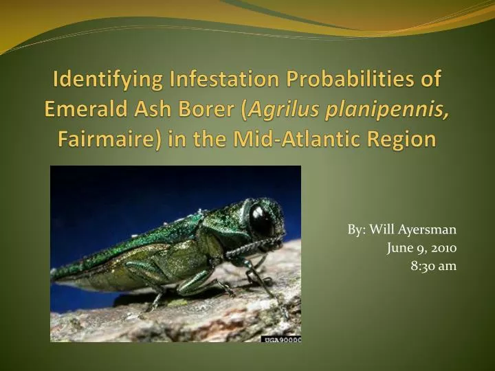
Identifying Infestation Probabilities of Emerald Ash Borer (Agrilusplanipennis, Fairmaire) in the Mid-Atlantic Region By: Will Ayersman June 9, 2010 8:30 am
Outline • What is Emerald Ash Borer (EAB)? • Why should we be concerned? • What was the approach? • What results did we find?
Project Background - Ash • Ash is a valuable hardwood species • Provides value for timber, wildlife habitat, and shade trees • Estimated 8 billion trees in the US
Project Background - EAB • Introduced from Asia mid 1990’s • First reported in Detroit summer 2002 • Entry by wood packaging materials from Asia
Why Be Concerned? • EAB could potentially affect 30-90 million urban trees • $20-60 billion in costs associated in damages • Nurseries produce roughly 2 million ash trees each year • Ash accounts for $100-140 million annually
Why Be Concerned? • In Michigan alone, eradication efforts have cost over $328 million as of 2003 • For Ohio, it is estimated that roughly $2-8 billion in losses
Project Objectives • Create spatial data layers related to spread and establishment of EAB through anthropogenic criteria • Implement an appropriate modeling framework in order to utilize these data layers using GIS • Map and identify new high risk areas for EAB for management and monitoring
Environmental Variables • Business Information • campgrounds, nurseries, sawmills, and firewood dealers (Iverson et al. 2006; Campbell, 2001; Minnesota Dept. of Agriculture, 2006) • Census Data - urban areas (Iverson et al. 2006; Poland & McCullough, 2006) - human population, seasonal homes (Minnesota Dept. of Agriculture, 2006) - housing density (US Forest Service) • Transportation Data - rest areas, major roads, harbors (Haack, 2003; Work et al. 2005) • Ash basal area (Iverson et al. 2006)
The Model: Maximum Entropy • Bayesian Statistical Model • Better suited for making predictions with limited observations • Uses presence-only data, doesn’t require absence data • Provides statistical outputs for analysis • Determines which variables make a contribution
Presence Points Environmental Variables Convert to Raster Grid MAXENT Convert to CSV Convert to ASCII Probability Map
Predictive Power • Represents the true predictive power of the model • Utilizes AUC statistic
Recommended Treatment Locations Contain 26 sq km of high risk area Thousands of acres (25-50% prob)