Download
1 / 27
280 likes | 363 Views

E N D
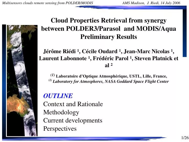
Cloud Properties Retrieval from synergy between POLDER3/Parasol and MODIS/AquaPreliminary ResultsJérôme Riédi 1, Cécile Oudard 1, Jean-Marc Nicolas 1, Laurent Labonnote 1, Frédéric Parol 1, Steven Platnick et al 2(1) Laboratoire d’Optique Atmosphérique, USTL, Lille, France,(2)Laboratory for Atmospheres, NASA Goddard Space Flight Center • OUTLINEContext and RationaleMethodologyCurrent developmentsPerspectives
Instrumental Background : MODIS • NASA, Terra & Aqua • launched 1999, 2002 • 705 km polar orbits, descending (10:30 a.m.) & ascending (1:30 p.m.) • Sensor Characteristics • 36 spectral bands ranging from 0.41 to 14.385 µm • cross-track scan mirror with 2330 km swath width • Spatial resolutions: • 250 m (bands 1 - 2) • 500 m (bands 3 - 7) • 1000 m (bands 8 - 36) • 2% reflectance calibration accuracy • onboard solar diffuser & solar diffuser stability monitor
Instrumental Background : POLDER • CNES/LOA instrument, Parasol launched 2005 • ~ 705 km polar orbits, ascending (13:30 a.m.) • Sensor Characteristics • 10 spectral bands ranging from 0.443 to 1.020 µm • 3 polarised channels • Wide FOV CCD Camera with 1800 km swath width • +/- 43 degrees cross track • +/- 51degrees along track • Multidirectionnal observations (up to 16 directions) • Spatial resolution : 6x7 km • No onboard calibration system - Inflight vicarious calibration : • 2-3% absolute calibration accuracy • 1% interband – 0.1% interpixel over clouds
Context and Rationale • MODIS/Aqua and POLDER/Parasol in flight since January 2005. • More than one year of coincident data is now available • Objectives : • Define and implement new scientific algorithms based on combination of MODIS and POLDER level 1 data in order to • improve retrieval of existing parameters • allow for retrieval of new parameters • extend the vertical description of the active instrument to the full swath • Strategy : • Direct analysis of combined level 1 data (i.e., look at real world data) • Challenging issues : • merging data from instruments with very different characteristics • getting ' compatible ' reflectances for joint algorithm • understand when the combination of two is constructive
Potential Synergy Cloud detectionCloud detection can be tricky under many circumstances (heavy aerosol loading, glint, bright surfaces : desert, snow/ice)Cloud layers heightDeriving multiple cloud top pressure (O2, Rayleigh, CO2 slicing, H20) to detect multilayer clouds and better describe vertical structure Cloud thermodynamic phaseCombination of information on particle shape and absorption properties help Improved cloud retrievalsex : Using Size retrieval from MODIS to improve multidirectionnal OT retrievals from POLDERCloud HeterogeneitiesUsing MODIS 250m information to understand angular behavior in POLDER measurements and separate 3D effect from subpixel heterogeneities
Cloud detectionCloud detection can be tricky under many circumstances (heavy aerosol loading, glint, bright surfaces : desert, snow/ice) Basis MODIS multispectral total reflectance measurements are not always sufficient to perform perfectly under all conditions- hard time under glint condition, heavy smoke/dust, snow/ice surface, ...POLDER can also get into troubles due to lower resolution and limited spectral range- hard time with thin cirrus, low broken clouds, snow/ice surface, ...Taken advantages of the combined high resolution, multispectral, multiangle and polarisation measurement increases greatly the chance to get a correct cloud detection (though you're still stuck in the mud when you need to settle on the definition of a cloud)
Cloud detectionCloud detection can be tricky under many circumstances (heavy aerosol loading, glint, bright surfaces : desert, snow/ice). Even worse when mixture of those ... Example : Glint/Dust A2005.249.1330 Dust
Cloud detectionCloud detection can be tricky under many circumstances (heavy aerosol loading, glint, bright surfaces : desert, snow/ice). Even worse when mixture of those ... Example : Glint/Dust A2005.249.1330 Conf. Clear Prob. Clear Glint Prob.. Cloud Conf.. Cloud MODIS MYD35 Col. 5
Cloud detectionCloud detection can be tricky under many circumstances (heavy aerosol loading, glint, bright surfaces : desert, snow/ice). Even worse when mixture of those ... Example : Glint/Dust : heavy aerosol clear more or less conf. cloudy Aerosol detection is easier when looking off glint which is always possible with POLDER
Example : Smoke over land mixed with clouds Cloud detectionCloud detection can be tricky under many circumstances (heavy aerosol loading, glint, bright surfaces : desert, snow/ice). Even worse when mixture of those ...
Total Reflect. RGB Polarisation RGB
Example : Smoke over land mixed with clouds Cloud detectionCloud detection can be tricky under many circumstances (heavy aerosol loading, glint, bright surfaces : desert, snow/ice). Even worse when mixture of those ... heavy aerosol clear more or less conf. cloudy
Detection of small broken clouds / pixel heterogeneity within Parasol FOV R : 2.1 microns MODIS Obs. G : 0.86 SDTV B : 0.86 microns True color RGB Mid Atlantique
Cloud layers heightDeriving multiple cloud top pressure (O2, Rayleigh, CO2 slicing) to detect multilayer clouds and better describe vertical structure Basis We do expect differences in pressure due to resp. sensitivities and we also expect increasing differences in case of multilayer situations CO2 Rayleigh CO2 Rayleigh O2 O2 Single Layer Two Layers O2 : Oxygen band differential absorption Rayleigh : Polarization Rayleigh Scattering absorption CO2 : CO2 Slicing (IR)
Cloud layers heightDeriving multiple cloud top pressure (O2, Rayleigh, CO2 slicing) to detect multilayer clouds and better describe vertical structure Example of retrieved Cloud Top Pressure Histograms for Ice clouds
Example : aerosols over cloud 24 Septembre 2005
Example : aerosols over cloud Rayleigh P. O2 Pressure CO2 Pressure 100 hPa 1000 hPa Usually with single layer : O2 > Rayleigh > CO2 with small differences And here we have : O2 > CO2 >> Rayleigh due to presence of aerosol in the upper layer
Cloud thermodynamic phaseCombination of information on particle shape and absorption properties BasisPolarization (Riedi et al)mostly single scattering sensitive to particle shapeTop of cloud but see through it if very thinSWIR (Platnick et al)Differential Water/Ice Absorption sensitive to particle sizeSome depth in the cloudThermal IR (Baum et al)Diff. Water/Ice, also sensitive to surf. emissivity, H2OSome depth in the cloud except thin cirrus Cirrus ? Thin ? H2O ? Water ? Mixed ? Surface spectral albedo ?
Cloud thermodynamic phase LIQUID ICE Scattering Angle Typhoon Nabi 2 Sept. 2005
Cloud thermodynamic phase LIQUID ICE Scattering Angle Typhoon Nabi 2 Sept. 2005
Cloud thermodynamic phase SWIR + VIS RGB Composite (MODIS bands 1, 2 and 7) - 6 + 6 Typhoon Nabi 2 Sept. 2005 BTD 8 – 11 microns
Cloud thermodynamic phaseCombination of information on particle shape and absorption properties help ICE UNKOWN LIQUID POLARIZATION SWIR/VIS Ratio IR Bispectral
Cloud thermodynamic phase Results from the combined POLDER/MODIS phase algorithm ICE MIXED LIQUID
Summary PARASOL/MODIS combination is a real opportunity to improve many existing parameters and can help design a next generation sensorPARASOL/MODIS open perspectives to extend the active sensors observation to the full swath, increasing statisticsWork is undergoing to derive Tau/Re, and Cloud layers height using optimal estimate method (L. Labonnote)Issues not addressed here : cross calibration, co-registration, ... (JM Nicolas)Get involved : we provide users with POLDER/MODIS joint dataset and software to try out your ideasGoing operational : New products Parasol-Modis/Aqua soon available at http://www.icare.univ-lille1.fr/
But wait ! there is more !!! 1 year of POLDER3/Parasol data finally available !!