Download
1 / 19
190 likes | 312 Views
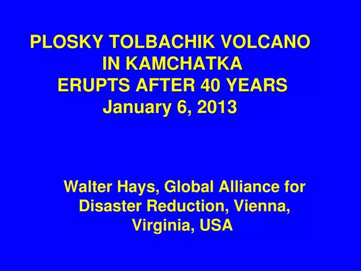
PLOSKY TOLBACHIK VOLCANO IN KAMCHATKA ERUPTS AFTER 40 YEARS January 6, 2013. Walter Hays, Global Alliance for Disaster Reduction, Vienna, Virginia, USA . PLOSKY TOLBACHIK SPEWS ASH 4 KM: JAN. 6, 2013.

E N D
PLOSKY TOLBACHIK VOLCANO IN KAMCHATKA ERUPTS AFTER 40 YEARSJanuary 6, 2013 Walter Hays, Global Alliance for Disaster Reduction, Vienna, Virginia, USA
The PloskyTolbachikvolcano, which emitted lava, poisonous gases, and ash, is located in Kamchatka peninsula, hundreds of miles (km) from the nearest residential areas.
Tourists rushing to the area to view the once-in-40 years spectacle have been warned about the toxic gases.
Until the lava-spewing fissure that occurred on November 27, 2012, and the current eruption phase, Plosky Tolbachik had been dormant since 1976.
The current eruption, which is expected to continue for some time, has not yet forced any changes in the airline flight patterns over this part of Russia.
This type of eruption, known as a strombolian eruption, is usually moderate.
VOLCANOES are awesome manifestations of heat flowing at hot spots (e.g., Hawaii and Iceland) and in subduction zones (e.g., along almost the entire Pacific Rim).
HAZARD MAPS • INVENTORY • VULNERABILITY • LOCATION • PREVENTION/MITIGATION • PREPAREDNESS • EMERGENCY RESPONSE • RECOVERY and • RECONSTRUCTION VOLCANOES POLICY OPTIONS ACCEPTABLE RISK RISK UNACCEPTABLE RISK VOLCANO DISASTER RISK REDUCTION DATA BASES AND INFORMATION COMMUNITY HAZARDS: GROUND SHAKING GROUND FAILURE SURFACE FAULTING TECTONIC DEFORMATION TSUNAMI RUN UP AFTERSHOCKS
VOLCANO HAZARDS (AKA POTENTIAL DISASTER AGENTS) • VERTICAL PLUME • ASH AND TEPHRA • LATERAL BLAST • PYROCLASTIC FLOWS
VOLCANO HAZARDS (AKA POTENTIAL DISASTER AGENTS) • LAVA FLOWS AND TOXIC GASES • LAHARS • EARTHQUAKES (related to the movement of lava) • “VOLCANIC WINTER”
CAUSES OF RISK LATERAL BLAST PYROCLASTIC FLOWS FLYING DEBRIS VOLCANIC ASH VOLCANIC ERUPTIONS LAVA FLOWS CASE HISTORIES LAHARS TOXIC GASES
HAZARDS EXPOSURE VULNERABILITY LOCATION ELEMENTS OF VOLCANO RISK RISK
VOLCANOES CAUSING MAJOR LOSS OF LIFE Three past volcanic eruptions caused major loss of life: 1) Krakatoa, Indonesia, where 32,000 were killed in 1883; 2) Mt. Pelee, Martinique, where 29,000 were killed in 1902; and 3) Nevada del Ruiz, Colombia, where 23,000 were killed in 1985.
FORECASTS OF ERUPTIONS MONITORING TECHNOLOGIES (E.G., DEFORMATION, SEISMICITY, GAS EMISSIONS, REMOTE SENSING, WINDS) WARNING SYSTEMS DATABASES FOR EACH VOLCANO COMPUTER MODELS OF VOLCANOES MAPS DISASTER SCENARIOS HAZARD ASSESSMENT RISK ASSESSMENT EMERGING TECHNOLOGIES FOR VOLCANOES