Download
1 / 1
10 likes | 78 Views
WHEN AND WHERE. CONTACT. Date: 6 April, 2010 Time: 12.00 – 12.45 Place: Room C541 IVM, W&N building, VU Campus (entrance via De Boelelaan 1085). Corry Zoll

E N D
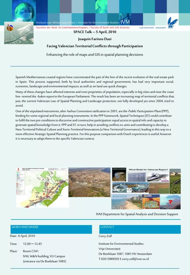
WHEN AND WHERE CONTACT Date: 6 April, 2010 Time: 12.00 – 12.45 Place: Room C541 IVM, W&N building, VU Campus (entrance via De Boelelaan 1085) Corry Zoll Institute for Environmental StudiesVrije UniversiteitDe Boelelaan 1087, 1081 HV AmsterdamT 020-5989505 E corry.zoll@ivm.vu.nl SPACE Talk – 5 April, 2010Joaquin Farinos DasiFacing Valencian Territorial Conflicts through ParticipationEnhancing the role of maps and GIS in spatial planning decisions Spanish Mediterranean coastal regions have concentrated the part of the lion of the recent evolution of the real estate park in Spain. This process supported, both by local authorities and regional government, has had very important social, economic, landscape and environmental impacts; as well as on land use quick changes. Many of these changes have affected interests and even proprieties of population, especially in big cities and near the coast line -remind the Auken report in the European Parliament. The result has been an increasing map of territorial conflicts that, just, the current Valencian Law of Spatial Planning and Landscape protection, not fully developed yet since 2004, tried to avoid. One of the stipulated instruments, after Aarhus Convention ratification in 2001, are the Public Participation Plans (PPP), binding for some regional and local planning instruments. In the PPP framework, Spatial Techniques (ST) could contribute to fulfil the two pre-conditions to discursive and constructive participation: equal access to spatial info and capacity to generate spatial knowledge from it. PPP and ST, in turn, help in avoiding conflicts ex-ante and contributing to develop a New Territorial Political Culture and Socio-Territorial Innovations (a New Territorial Governance), leading in this way to a more effective Strategic Spatial Planning practice. For this purpose comparison with Dutch experiences is useful; however it is necessary to adapt them to the specific Valencian context. IVM Department for Spatial Analysis and Decision Support