Download
1 / 22
220 likes | 292 Views
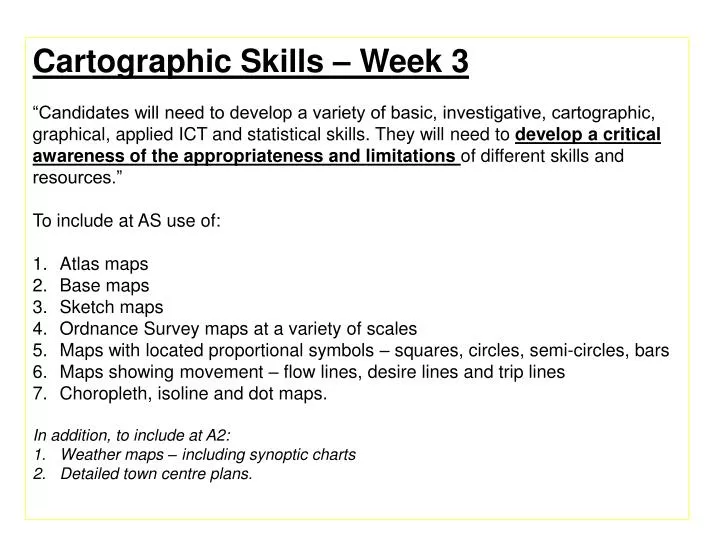
Cartographic Skills – Week 3 “Candidates will need to develop a variety of basic, investigative, cartographic, graphical, applied ICT and statistical skills. They will need to develop a critical awareness of the appropriateness and limitations of different skills and resources .”

E N D
Cartographic Skills – Week 3 “Candidates will need to develop a variety of basic, investigative, cartographic, graphical, applied ICT and statistical skills. They will need to develop a critical awareness of the appropriateness and limitations of different skills and resources.” To include at AS use of: Atlas maps Base maps Sketch maps Ordnance Survey maps at a variety of scales Maps with located proportional symbols – squares, circles, semi-circles, bars Maps showing movement – flow lines, desire lines and trip lines Choropleth, isoline and dot maps. In addition, to include at A2: Weather maps – including synoptic charts Detailed town centre plans.
Tasks For each slide I want you to do the following: • Explain briefly what the map/slide is showing • IYHO describe what is missing from the map that accidentally or possibly deliberately makes it difficult to understand • Then explain why (if it was a deliberate move) the map was produced this way.
Tasks For each slide I want you to do the following: • Explain briefly what the map/slide is showing • IYHO describe what is missing from the map that accidentally or possibly deliberately makes it difficult to understand • Then explain why (if it was a deliberate move) the map was produced this way.